Virginia SOL S.WG
SOL Standard (Skills Cluster)
The student will demonstrate skills for historical thinking, geographical analysis, economic decision making, and responsible citizenship by selecting and synthesizing evidence from information sources including, but not limited to artifacts, primary and secondary sources, charts, graphs, diagrams, and geospatial technologies, including maps, the geographic information system (GIS), and global positioning system (GPS) imagery, to understand the regions of the world; applying geographic skills to determine and predict patterns and movement of people, places, and events; developing questions, enhancing curiosity, and engaging in critical thinking and analysis; investigating and analyzing evidence from multiple sources to construct arguments; comparing and contrasting historical, cultural, economic, and political perspectives; determining and explaining cause-and-effect relationships; using economic decision-making models to analyze and explain the incentives for and consequences of a specific choice; engaging and communicating as a civil and informed individual with persons with different perspectives; developing products that reflect an understanding of research, content, and world geography concepts; and contextualizing, corroborating, and evaluating sources for credibility, propaganda, and bias to determine patterns and trends to understand the world.
Virginia Standards of Learning for History and Social Science
Cluster contents
Skills in This Standard
S.WG is a Standards of Learning history and social science standard. These are the skills expectations under it.
- S.WG.a
selecting and synthesizing evidence from information sources including, but not limited to artifacts, primary and secondary sources, charts, graphs, diagrams, a...
- S.WG.b
applying geographic skills to determine and predict patterns and movement of people, places, and events
- S.WG.c
developing questions, enhancing curiosity, and engaging in critical thinking and analysis
- S.WG.d
investigating and analyzing evidence from multiple sources to construct arguments
- S.WG.e
comparing and contrasting historical, cultural, economic, and political perspectives
- S.WG.f
determining and explaining cause-and-effect relationships
- S.WG.g
using economic decision-making models to analyze and explain the incentives for and consequences of a specific choice
- S.WG.h
engaging and communicating as a civil and informed individual with persons with different perspectives
- S.WG.i
developing products that reflect an understanding of research, content, and world geography concepts
- S.WG.j
contextualizing, corroborating, and evaluating sources for credibility, propaganda, and bias to determine patterns and trends to understand the world.
Teacher's field guide
What This Cluster Means
What Students Need to Do
- Students gather evidence from maps, GIS images, artifacts, graphs, and written sources. They use it to explain geographic patterns, compare perspectives, trace causes and effects, and support a claim. They also judge source credibility and weigh costs, benefits, incentives, and consequences.
What Mastery Looks Like
- A student can ask a useful geographic question, choose relevant sources, and combine details into a clear argument. The student checks context, bias, and corroboration, then communicates respectfully with people who interpret the evidence differently.
Common Misconceptions
- Students often treat every source as equally reliable or confuse a source's claim with evidence. They may describe a map or graph without identifying a pattern, cause, consequence, or movement. They also mistake correlation for causation and present one perspective as the full story.
How to Assess It
- Give students a population density map and a short migration excerpt. Ask them to identify one pattern supported by both sources and one source limitation, citing a detail from each.
Lesson moves
Ways to Teach It
Set up four source stations with an artifact image, map, graph, and article; students record one claim and two supporting details.
Discuss which source best explains a migration pattern, then write a paragraph defending the choice with evidence and one source limitation.
Play a Credibility Sort game where teams rank source cards, then earn points by justifying each placement.
Use a current shipping delay map to trace affected routes, predict price changes, and explain incentives facing businesses and consumers.
Free download
Printable S.WG Worksheet
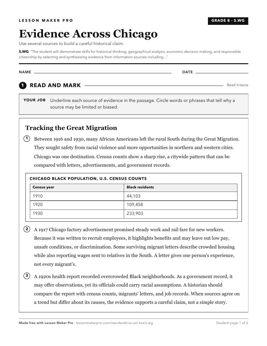
A ready-to-print activity worksheet aligned to S.WG, with an answer key for the teacher on its own page. No account needed.
PDF, US Letter, prints cleanly in black and white.
Download the worksheetKeep exploring
Related Standards
- WG.17
The student will apply history and social science skills to analyze strategic geographic features and resources by
- K.8
The student will apply history and social science skills to demonstrate an understanding of primary economic principles by
- USII.9
The student will apply history and social science skills by
- CE.11
The student will apply history and social science skills to analyze how economic decisions are made in the marketplace and in daily life by
Turn this cluster into a lesson
Grade, subject, topic, and the complete cluster are prefilled. Create one free, no account needed.
Also for this cluster:Make a WorksheetMake a QuizMake a Sub Lesson