Florida SS.6.G.1
Florida Standard (Benchmark Cluster)
Understand how to use maps and other geographic representations, tools, and technology to report information.
Florida Next Generation Sunshine State Standards for Social Studies
Cluster contents
Benchmarks in This Standard
SS.6.G.1 is a Florida social studies standard. These are the benchmarks under it.
- SS.6.G.1.1
Use latitude and longitude coordinates to understand the relationship between people and places on the Earth.
- SS.6.G.1.2
Analyze the purposes of map projections (e.g., political, physical, special purpose) and explain the applications of various types of maps.
- SS.6.G.1.3
Identify natural wonders of the ancient world.
- SS.6.G.1.4
Utilize tools geographers use to study the world.
- SS.6.G.1.5
Use scale, cardinal and intermediate directions, and estimation of distances between places on current and ancient maps of the world.
- SS.6.G.1.6
Use a map to identify major bodies of water of the world and explain ways they have impacted the development of civilizations.
- SS.6.G.1.7
Use maps to identify characteristics and boundaries of ancient civilizations that have shaped the world today.
Teacher's field guide
What This Cluster Means
What Students Need to Do
- Students read symbols, scales, legends, coordinates, and directions on paper and digital maps. They choose a suitable map and use it to report location, distance, patterns, or movement.
What Mastery Looks Like
- A student can locate places with coordinates, use scale to estimate distance, and explain what a map shows. They can create a clear map with a title, legend, labels, scale, and compass rose.
Common Misconceptions
- Students may confuse latitude with longitude, ignore the scale bar, or assume every map shows the same information. They may use symbols without a legend or choose a political map to answer a physical geography question.
How to Assess It
- Give students a regional map with a legend, scale bar, and coordinate grid. Ask them to locate City B, estimate its distance from City A, and cite two map features used.
Lesson moves
Ways to Teach It
Give pairs string, rulers, and a state map to measure three routes with the scale bar and compare results.
Ask students to write which map type best shows rainfall, borders, or population, then defend each choice.
Run a map-feature relay where teams identify a title, legend, scale, compass rose, coordinates, and data source on posted maps.
Have students use an online map to plan a bus route, report distance and direction, and capture evidence from the map.
Free download
Printable SS.6.G.1 Worksheet
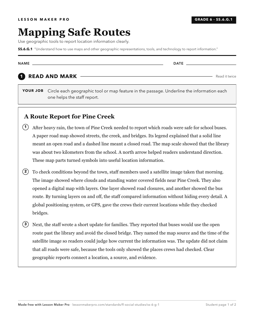
A ready-to-print activity worksheet aligned to SS.6.G.1, with an answer key for the teacher on its own page. No account needed.
PDF, US Letter, prints cleanly in black and white.
Download the worksheetKeep exploring
Related Standards
Turn this cluster into a lesson
Grade, subject, topic, and the complete cluster are prefilled. Create one free, no account needed.
Also for this cluster:Make a WorksheetMake a QuizMake a Sub Lesson