Florida SS.6.G.1.1
The Standard
- SS.6.G.1
- Understand how to use maps and other geographic representations, tools, and technology to report information.
Use latitude and longitude coordinates to understand the relationship between people and places on the Earth.
Florida Next Generation Sunshine State Standards for Social Studies
Teacher's field guide
What This Standard Means
What Students Need to Do
- Students locate places by reading latitude first and longitude second. They use coordinates to compare where people live, travel, trade, or face environmental conditions.
What Mastery Looks Like
- A student plots and identifies a place without reversing the coordinates or directions. The student uses map evidence to compare that location with another place.
Common Misconceptions
- Students often reverse latitude and longitude, confuse north with south or east with west, or ignore degree symbols. They may assume places on the same latitude have identical climates or cultures.
How to Assess It
- Exit ticket: Locate 30°N, 31°E on a world map, name the nearest major city, and explain one connection between its location and people.
Lesson moves
Ways to Teach It
Place labeled pins on a wall map at given coordinates, then describe which settlements share similar latitude or longitude.
Write: How might two cities near the same latitude have similar or different climates, travel routes, and ways of life?
Play Coordinate Relay: teams locate five coordinate cards in an atlas, record each place, and earn a point for every accurate match.
Track three hurricane coordinates from a weather report and identify nearby cities that may need warnings.
Free download
Printable SS.6.G.1.1 Worksheet
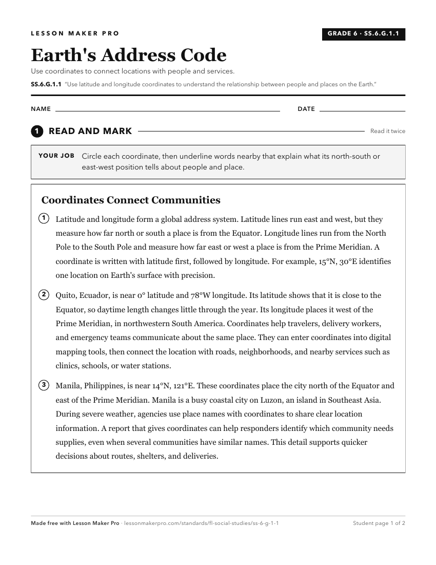
A ready-to-print activity worksheet aligned to SS.6.G.1.1, with an answer key for the teacher on its own page. No account needed.
PDF, US Letter, prints cleanly in black and white.
Download the worksheetKeep exploring
Related Standards
Turn this exact standard into a lesson
Grade, subject, topic, and the complete standard are prefilled. Create one free, no account needed.
Also for this standard:Make a WorksheetMake a QuizMake a Sub Lesson