Florida SS.5.G.1.2
The Standard
- SS.5.G.1
- The World in Spatial Terms
Use latitude and longitude to locate places.
Florida Next Generation Sunshine State Standards for Social Studies
Teacher's field guide
What This Standard Means
What Students Need to Do
- Students read coordinate pairs and find matching points on a map or globe. They use latitude first, longitude second, and apply north, south, east, and west correctly.
What Mastery Looks Like
- Given coordinates, a student can mark the correct location on a world map. The student can also write accurate coordinates for a labeled place.
Common Misconceptions
- Students may reverse latitude and longitude or confuse the Equator with the Prime Meridian. They may also ignore direction labels or count degrees from the wrong reference line.
How to Assess It
- Give students a world map and ask them to mark 30°N, 90°W, then name the nearest major place or region.
Lesson moves
Ways to Teach It
Stretch string across a globe to model lines of latitude and longitude, then place stickers at assigned coordinate pairs.
Ask students to explain in writing why 20°N, 40°E and 40°N, 20°E identify different places.
Play Coordinate Relay, where teams race to locate coordinate cards on identical world maps and earn points for accurate labels.
Use coordinates from hurricane reports to plot a storm’s path and describe how its location changes over time.
Free download
Printable SS.5.G.1.2 Worksheet
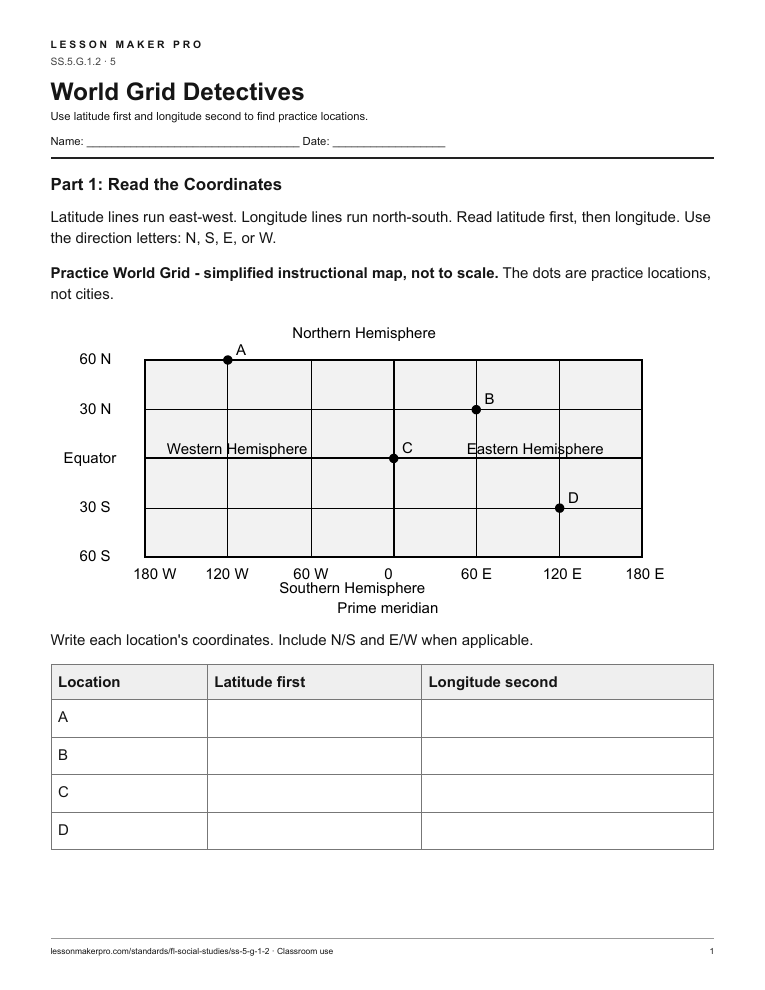
A ready-to-print activity worksheet aligned to SS.5.G.1.2, with an answer key for the teacher on its own page. No account needed.
PDF, US Letter, prints cleanly in black and white.
Download the worksheetKeep exploring
Related Standards
- SS.6.G.1.1
Use latitude and longitude coordinates to understand the relationship between people and places on the Earth.
- SS.K.G.2.1
Locate and describe places in the school and community.
- SS.6.G.1.5
Use scale, cardinal and intermediate directions, and estimation of distances between places on current and ancient maps of the world.
- SS.K.G.1.1
Describe the relative location of people, places, and things by using positional words.
Turn this exact standard into a lesson
Grade, subject, topic, and the complete standard are prefilled. Create one free, no account needed.
Also for this standard:Make a WorksheetMake a QuizMake a Sub Lesson