Florida SS.6.G.1.4
The Standard
- SS.6.G.1
- Understand how to use maps and other geographic representations, tools, and technology to report information.
Utilize tools geographers use to study the world.
Florida Next Generation Sunshine State Standards for Social Studies
Teacher's field guide
What This Standard Means
What Students Need to Do
- Students choose maps, globes, GPS, GIS layers, satellite images, and other tools for a geographic question. They read the information each tool provides. They report findings with locations, distances, patterns, or labeled visuals.
What Mastery Looks Like
- Students select a suitable tool without guessing. They use scale, direction, coordinates, symbols, or data layers accurately. They explain what the tool shows and what it cannot show.
Common Misconceptions
- Students may assume every map gives the same information. They often confuse GPS, which finds locations, with GIS, which displays and analyzes layers of data. They may ignore scale, legends, dates, or map projections.
How to Assess It
- Exit ticket: Give students a city map with a scale and a satellite image. Ask them to measure one distance and name one feature clearer in the image.
Lesson moves
Ways to Teach It
Give pairs a globe, atlas, compass, and satellite image to locate one place and record what each tool reveals.
Ask students to write: Which tool would best show population patterns, and why would a road map be less useful?
Run a Tool Match Relay where teams pair geographic question cards with map, GPS, GIS, globe, or satellite image cards.
Use Google Earth to compare the school area with a printed street map, then list differences useful for planning an evacuation route.
Free download
Printable SS.6.G.1.4 Worksheet
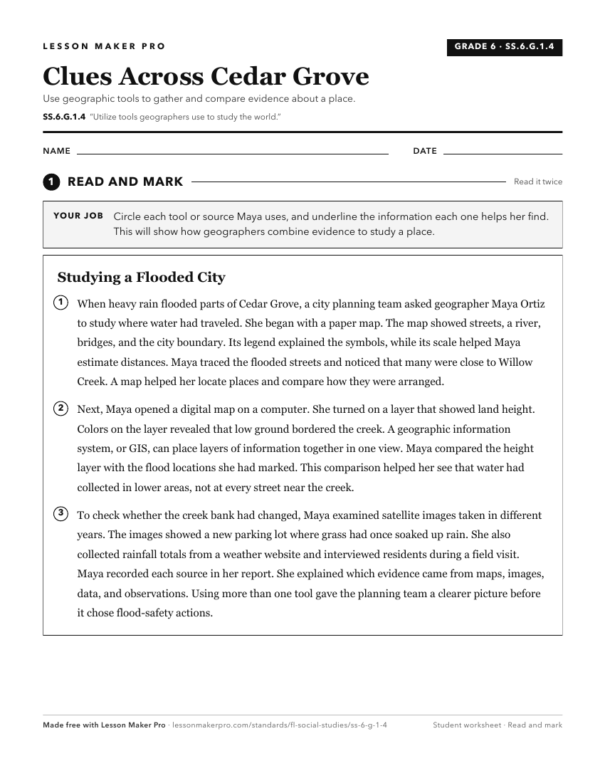
A ready-to-print activity worksheet aligned to SS.6.G.1.4, with an answer key for the teacher on its own page. No account needed.
PDF, US Letter, prints cleanly in black and white.
Download the worksheetKeep exploring
Related Standards
- SS.8.G.1
Understand how to use maps and other geographic representations, tools, and technology to report information.
- SS.6.G.1
Understand how to use maps and other geographic representations, tools, and technology to report information.
- SS.7.G.1
Understand how to use maps and other geographic representations, tools, and technology to report information.
- SS.5.G.1.1
Interpret current and historical information using a variety of geographic tools.
Turn this exact standard into a lesson
Grade, subject, topic, and the complete standard are prefilled. Create one free, no account needed.
Also for this standard:Make a WorksheetMake a QuizMake a Sub Lesson