Florida SS.8.G.1
Florida Standard (Benchmark Cluster)
Understand how to use maps and other geographic representations, tools, and technology to report information.
Florida Next Generation Sunshine State Standards for Social Studies
Cluster contents
Benchmarks in This Standard
SS.8.G.1 is a Florida social studies standard. These are the benchmarks under it.
Teacher's field guide
What This Cluster Means
What Students Need to Do
- Students read map elements such as titles, legends, scales, compass roses, coordinates, and symbols. They choose a paper or digital map to present accurate information about locations and patterns.
What Mastery Looks Like
- Students locate places, measure distance, identify direction, and explain a pattern using evidence from a map. They create a clear map with accurate data and useful map elements.
Common Misconceptions
- Students may treat map size as actual distance or confuse north with the direction they are facing. They may overlook the legend, misread color ranges, or assume every map uses the same scale.
How to Assess It
- Exit ticket: Give students a Florida population map and ask, “Which two areas have the largest populations, and what evidence from the map supports your answer?”
Lesson moves
Ways to Teach It
Give pairs a blank Florida map, a data table, colored pencils, and a ruler to create a population map with a legend and scale.
Ask students to write which map type would best show hurricane paths, population density, or elevation, then explain each choice.
Run a map scavenger hunt where teams earn points for finding coordinates, measuring distances, identifying directions, and interpreting symbols.
Have students use a transit map to plan a route, calculate travel distance, and report where transfers occur.
Free download
Printable SS.8.G.1 Worksheet
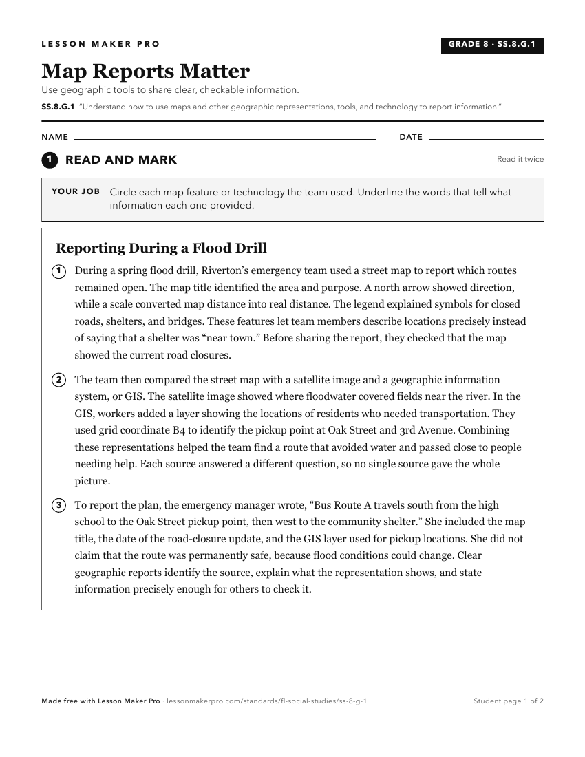
A ready-to-print activity worksheet aligned to SS.8.G.1, with an answer key for the teacher on its own page. No account needed.
PDF, US Letter, prints cleanly in black and white.
Download the worksheetKeep exploring
Related Standards
Turn this cluster into a lesson
Grade, subject, topic, and the complete cluster are prefilled. Create one free, no account needed.
Also for this cluster:Make a WorksheetMake a QuizMake a Sub Lesson