Florida SS.8.G.1.2
The Standard
- SS.8.G.1
- Understand how to use maps and other geographic representations, tools, and technology to report information.
Use appropriate geographic tools and terms to identify and describe significant places, and regions in American history.
Florida Next Generation Sunshine State Standards for Social Studies
Teacher's field guide
What This Standard Means
What Students Need to Do
- Students use atlases, historical maps, digital maps, legends, scales, directions, and coordinates to locate places connected to American history. They describe locations, physical features, boundaries, and historical importance with accurate geographic terms.
What Mastery Looks Like
- Given an unfamiliar historical map, students locate a named site or region using the title, legend, scale, and coordinates. They accurately describe its relative location, physical features, and regional boundaries.
Common Misconceptions
- Students may treat regions as fixed political borders or confuse absolute location with relative location. They may also apply modern boundaries to past maps or ignore the map's title, date, scale, and legend.
How to Assess It
- Give students an 1803 Louisiana Purchase map with a legend and scale. Ask, "Locate New Orleans, describe its location using two geographic terms, and explain why the location mattered."
Lesson moves
Ways to Teach It
Give pairs a colonial map, ruler, colored pencils, and sticky notes to mark Boston, the Appalachians, and the thirteen colonies.
Prompt students: How did the Mississippi River's location shape settlement and trade? Require three details from a map in the response.
Run a map clue relay where teams use coordinates, direction, scale, and legends to identify five Revolutionary War sites.
Students compare a historical map of their state with a current digital map, then record changed borders, names, roads, or settlements.
Free download
Printable SS.8.G.1.2 Worksheet
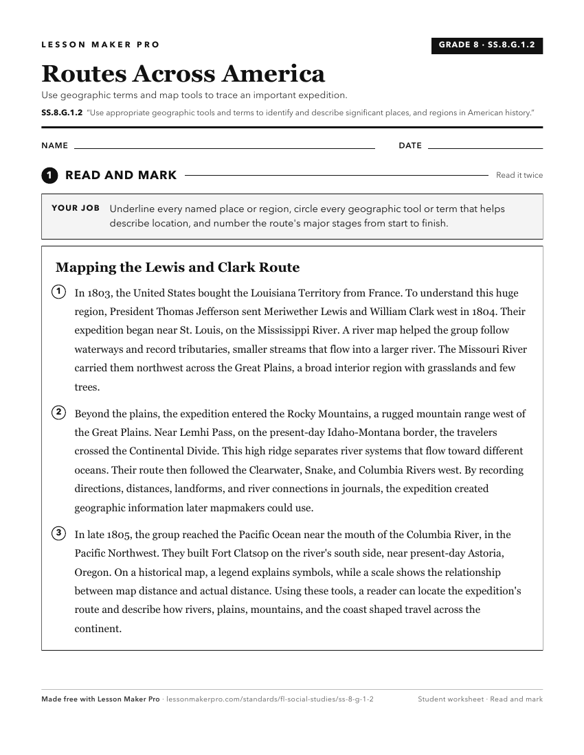
A ready-to-print activity worksheet aligned to SS.8.G.1.2, with an answer key for the teacher on its own page. No account needed.
PDF, US Letter, prints cleanly in black and white.
Download the worksheetKeep exploring
Related Standards
- SS.8.G.6.1
Use appropriate maps and other graphic representations to analyze geographic problems and changes over time throughout American history.
- SS.8.G.4.2
Use geographic terms and tools to analyze the effects throughout American history of migration to and within the United States, both on the place of origin and ...
- SS.8.G.1.1
Use maps to explain physical and cultural attributes of major regions throughout American history.
- SS.8.G.2.3
Use geographic terms and tools to analyze case studies of how selected regions of the United States have changed over time.
Turn this exact standard into a lesson
Grade, subject, topic, and the complete standard are prefilled. Create one free, no account needed.
Also for this standard:Make a WorksheetMake a QuizMake a Sub Lesson