Florida SS.6.G.1.6
The Standard
- SS.6.G.1
- Understand how to use maps and other geographic representations, tools, and technology to report information.
Use a map to identify major bodies of water of the world and explain ways they have impacted the development of civilizations.
Florida Next Generation Sunshine State Standards for Social Studies
Teacher's field guide
What This Standard Means
What Students Need to Do
- Students locate and name major oceans, seas, and rivers on a map. They explain how water shaped settlement, farming, trade, transportation, food supplies, and defense.
What Mastery Looks Like
- Students accurately label major bodies of water on an unlabeled world map. They use map evidence to explain a clear link between a body of water and a civilization’s development.
Common Misconceptions
- Students may confuse rivers, seas, and oceans or place them on the wrong continent. They may describe water only as a boundary, overlooking its role in farming, trade, travel, and food.
How to Assess It
- Give students a blank map and ask them to label the Nile River and Mediterranean Sea. Then ask how each helped ancient Egypt develop.
Lesson moves
Ways to Teach It
Build a floor world map with blue yarn, then place name cards on five oceans and several major rivers and seas.
Write a response to this prompt: How did the Nile River and Mediterranean Sea support ancient Egyptian life in different ways?
Play a matching game that pairs water body cards with civilization cards and impact cards such as irrigation, trade, food, or defense.
Trace a product shipped from Brazil to Florida across the Atlantic, then explain why ports often grow into major cities.
Free download
Printable SS.6.G.1.6 Worksheet
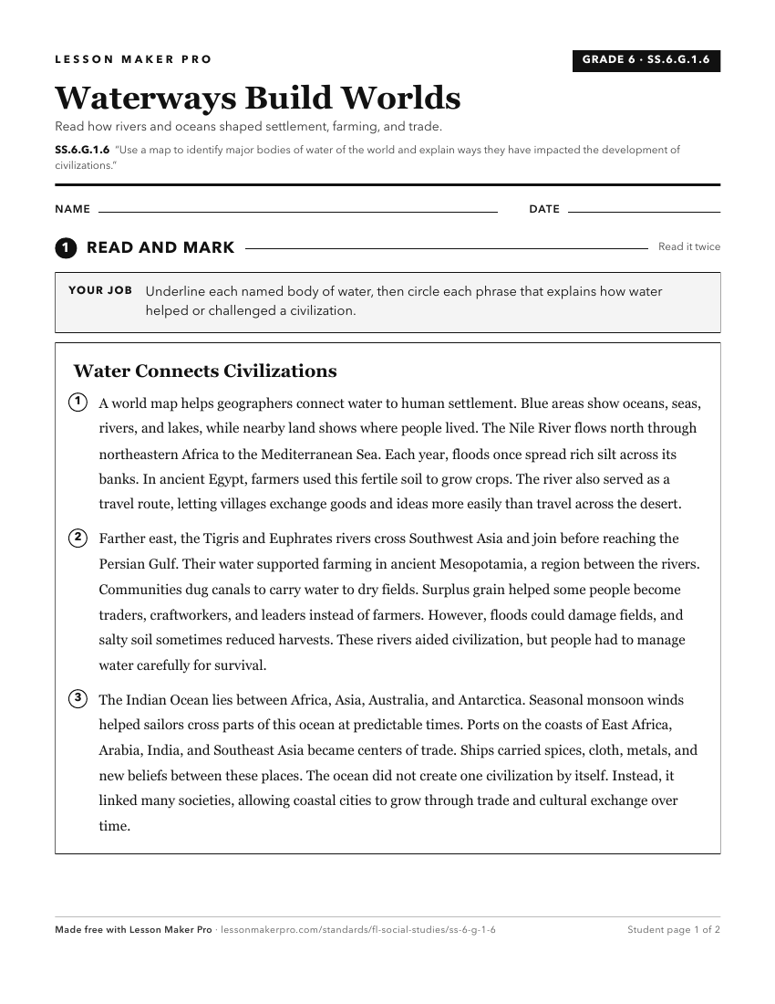
A ready-to-print activity worksheet aligned to SS.6.G.1.6, with an answer key for the teacher on its own page. No account needed.
PDF, US Letter, prints cleanly in black and white.
Download the worksheetKeep exploring
Related Standards
- SS.6.G.5.2
Use geographic terms and tools to explain why ancient civilizations developed networks of highways, waterways, and other transportation linkages.
- SS.6.G.1.7
Use maps to identify characteristics and boundaries of ancient civilizations that have shaped the world today.
- SS.6.G.2.1
Explain how major physical characteristics, natural resources, climate, and absolute and relative locations have influenced settlement, interactions, and the ec...
- SS.6.G.2.3
Analyze the relationship of physical geography to the development of ancient river valley civilizations.
Turn this exact standard into a lesson
Grade, subject, topic, and the complete standard are prefilled. Create one free, no account needed.
Also for this standard:Make a WorksheetMake a QuizMake a Sub Lesson