Florida SS.6.G.1.7
The Standard
- SS.6.G.1
- Understand how to use maps and other geographic representations, tools, and technology to report information.
Use maps to identify characteristics and boundaries of ancient civilizations that have shaped the world today.
Florida Next Generation Sunshine State Standards for Social Studies
Teacher's field guide
What This Standard Means
What Students Need to Do
- Students locate major ancient civilizations on physical and political maps. They mark approximate boundaries, major cities, rivers, seas, and landforms, then explain what the map shows.
What Mastery Looks Like
- Given an unlabeled regional map, a student can place and label a civilization in the correct area. The student uses a key, direction, and nearby features to justify the boundary without treating ancient borders as exact modern lines.
Common Misconceptions
- Students often draw ancient borders as fixed lines, even though control changed over time. They may confuse major rivers, place cities outside the correct region, or copy present-day national borders.
How to Assess It
- Give students a blank map of North Africa and Southwest Asia with major rivers shown. Ask them to shade ancient Egypt or Mesopotamia, label two geographic features, and explain one boundary choice.
Lesson moves
Ways to Teach It
Place tracing paper over regional maps; students outline ancient Egypt, Mesopotamia, the Indus Valley, and Shang China, then label rivers and seas.
Ask: Which geographic feature best helps you recognize each civilization on a map? Students cite map evidence in a four-sentence response.
Run a map-card relay where teams match civilization names, outline maps, rivers, and cities, then explain each match for a point.
Use a digital map to find modern countries covering ancient Mesopotamia, then compare current borders with the ancient region's changing limits.
Free download
Printable SS.6.G.1.7 Worksheet
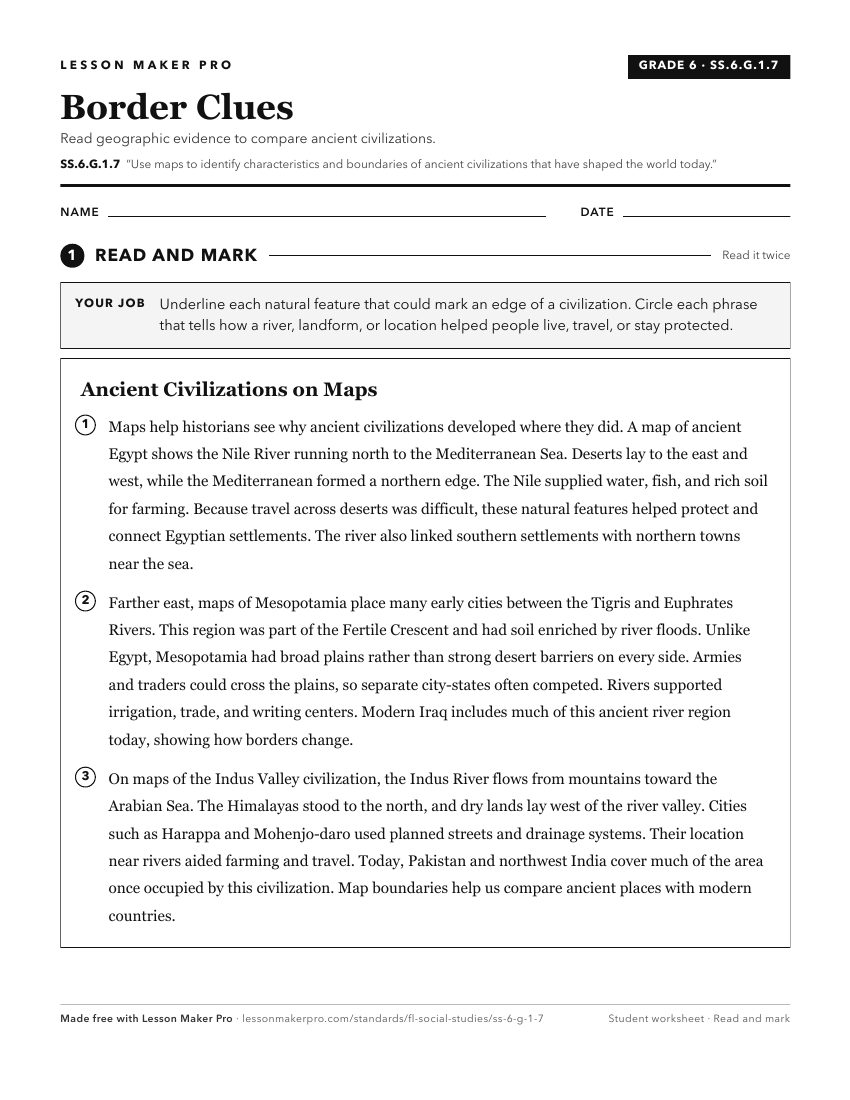
A ready-to-print activity worksheet aligned to SS.6.G.1.7, with an answer key for the teacher on its own page. No account needed.
PDF, US Letter, prints cleanly in black and white.
Download the worksheetKeep exploring
Related Standards
- SS.6.G.1.6
Use a map to identify major bodies of water of the world and explain ways they have impacted the development of civilizations.
- SS.6.G.6.2
Compare maps of the world in ancient times with current political maps.
- SS.6.G.2.1
Explain how major physical characteristics, natural resources, climate, and absolute and relative locations have influenced settlement, interactions, and the ec...
- SS.8.G.1.1
Use maps to explain physical and cultural attributes of major regions throughout American history.
Turn this exact standard into a lesson
Grade, subject, topic, and the complete standard are prefilled. Create one free, no account needed.
Also for this standard:Make a WorksheetMake a QuizMake a Sub Lesson