Florida SS.6.G.5.2
The Standard
- SS.6.G.5
- Understand how human actions can impact the environment.
Use geographic terms and tools to explain why ancient civilizations developed networks of highways, waterways, and other transportation linkages.
Florida Next Generation Sunshine State Standards for Social Studies
Teacher's field guide
What This Standard Means
What Students Need to Do
- Students read physical and political maps, use scale and direction, and identify features such as rivers, mountains, deserts, and coastlines. They explain how trade, travel, farming, communication, and military needs shaped route locations.
What Mastery Looks Like
- Students can trace an ancient route and explain why it followed a river, crossed a pass, or linked certain settlements. They support their explanation with map evidence and correct geographic terms.
Common Misconceptions
- Students may assume ancient builders chose the shortest route, ignoring terrain, water, and safety. They may confuse a trade route with a paved road or overlook how waterways served as transportation corridors.
How to Assess It
- Give students a physical map of the Nile Valley. Ask them to draw one likely transportation route and write two sentences explaining its location with map evidence.
Lesson moves
Ways to Teach It
Students place yarn on a relief map to connect settlements, then revise the route after considering mountains, deserts, rivers, and distance.
Ask students to write: Why might an ancient ruler build a road instead of relying only on a nearby river?
Play Route Planner with map cards, where teams earn points for connecting cities while avoiding costly terrain and explaining each choice.
Compare an ancient route with a local highway or river, then list two geographic reasons each route developed where it did.
Free download
Printable SS.6.G.5.2 Worksheet
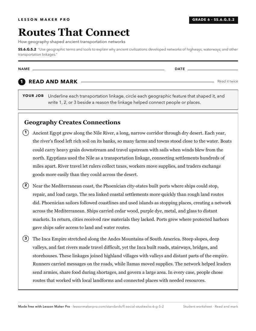
A ready-to-print activity worksheet aligned to SS.6.G.5.2, with an answer key for the teacher on its own page. No account needed.
PDF, US Letter, prints cleanly in black and white.
Download the worksheetKeep exploring
Related Standards
- SS.6.G.1.6
Use a map to identify major bodies of water of the world and explain ways they have impacted the development of civilizations.
- SS.6.G.1.7
Use maps to identify characteristics and boundaries of ancient civilizations that have shaped the world today.
- SS.6.G.5.3
Use geographic tools and terms to analyze how famine, drought, and natural disasters plagued many ancient civilizations.
- SS.6.G.2.3
Analyze the relationship of physical geography to the development of ancient river valley civilizations.
Turn this exact standard into a lesson
Grade, subject, topic, and the complete standard are prefilled. Create one free, no account needed.
Also for this standard:Make a WorksheetMake a QuizMake a Sub Lesson