Oklahoma Social Studies K.C.3
Standard Cluster
Identify and examine the basic concepts of physical and human geography. Ask geographic questions about where places are located and why they are located there (e.g., nearness to natural resources, access to water). Explain that a map is a drawing of a place as viewed from above. Construct basic maps of the classroom, school, and neighborhood. Identify basic cardinal directions and terms used to describe relative location. Distinguish between land and water on a map. Explain that the school is part of a larger community within the state of Oklahoma and identify the state of Oklahoma on a map of the United States of America. Describe what makes one’s community alike or different from other communities by comparing family and community customs and traditions.
Oklahoma Academic Standards for Social Studies (2026)
Cluster contents
Standards in This Cluster
K.C.3 is a cluster heading. These are the individual standards under it.
- K.C.3.1
Ask geographic questions about where places are located and why they are located there (e.g., nearness to natural resources, access to water).
- K.C.3.2
Explain that a map is a drawing of a place as viewed from above.
- K.C.3.3
Construct basic maps of the classroom, school, and neighborhood.
- K.C.3.4
Identify basic cardinal directions and terms used to describe relative location.
- K.C.3.5
Distinguish between land and water on a map.
- K.C.3.6
Explain that the school is part of a larger community within the state of Oklahoma and identify the state of Oklahoma on a map of the United States of America.
- K.C.3.7
Describe what makes one’s community alike or different from other communities by comparing family and community customs and traditions.
Teacher's field guide
What This Cluster Means
What Students Need to Do
- Children ask where places are and why people build near roads or water. They draw maps of their classroom, school, and neighborhood from above and use direction and location words. They identify land and water, find Oklahoma on a U.S. map, and compare traditions in different communities.
What Mastery Looks Like
- A student draws simple overhead maps with familiar features in the right places. They use north, south, east, west, and near to describe locations, and show that their school is in an Oklahoma community. They explain why a building might be near a road or water and name a difference between two communities' traditions.
Common Misconceptions
- Children may draw desks from the side instead of from above or mistake blue water for land. They may think north means whichever way they face or that Oklahoma is outside the United States. They may assume every family celebrates the same traditions.
How to Assess It
- Give children a page with a classroom outline, a door, a north arrow, and a U.S. map with state borders. Ask them to draw a desk north of the door, circle Oklahoma, and color the water blue.
Lesson moves
Ways to Teach It
Build the classroom with blocks, draw it from above, then add the school and nearby streets to a neighborhood sketch.
Show photos of two community celebrations and ask, "What do people do in both, and what is different?"
Give pairs classroom maps with north arrows; call out "Put a star east of the door" and have partners check.
On a walk near school, find a road and ask why the school might have been built beside it.
Free download
Printable K.C.3 Worksheet
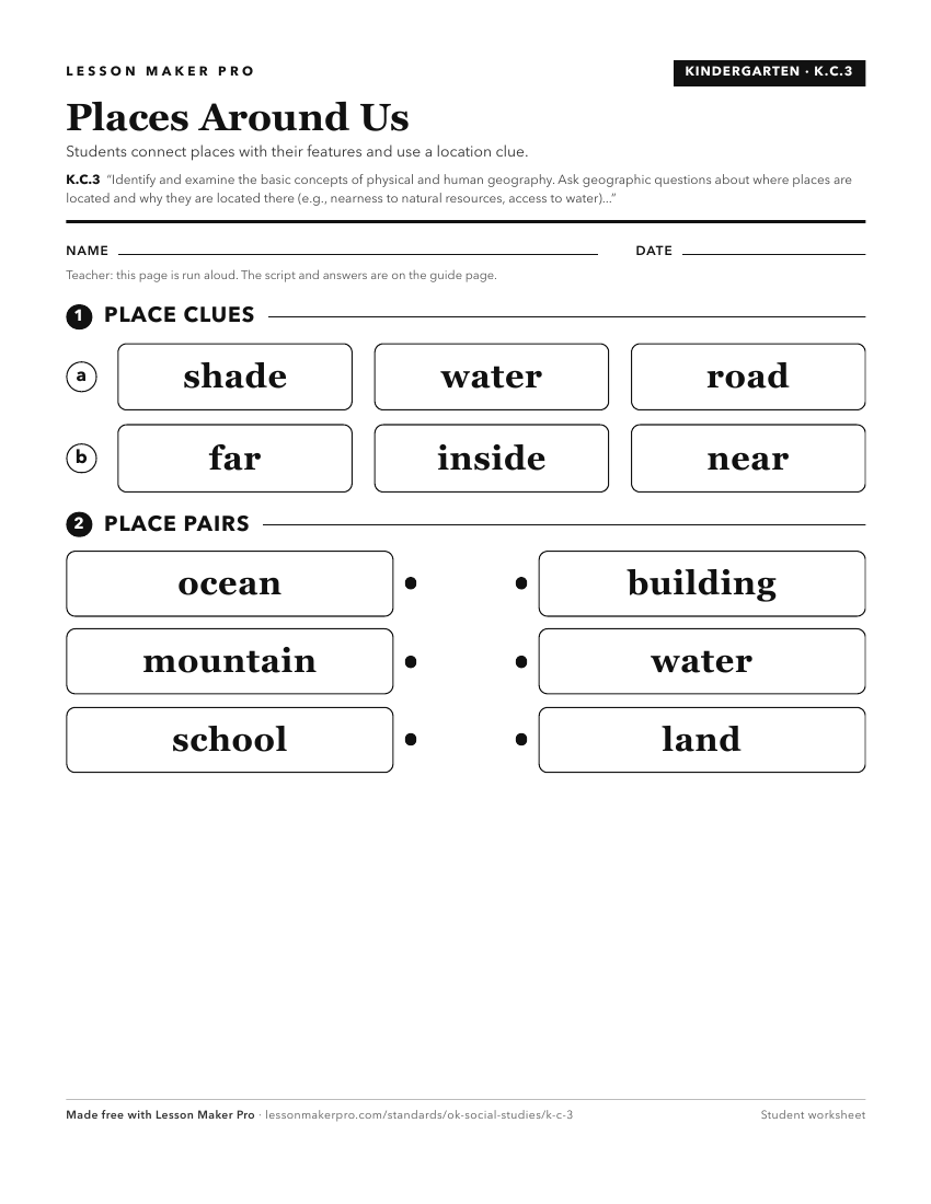
A ready-to-print activity worksheet aligned to K.C.3, with an answer key for the teacher on its own page. No account needed.
PDF, US Letter, prints cleanly in black and white.
Download the worksheetKeep exploring
Related Standards
- 5.P.2.3.B
Analyze human and physical features of the nation by drawing conclusions and explaining spatial relationships of physical and human places from geographic repre...
- 1.C.3
Demonstrate knowledge of basic geographic concepts.
- WG.C.1.1
Analyze key concepts underlying the geographical perspectives of location, space, place, scale, pattern, regionalization, and globalization.
- 4.C.2
Apply the tools and concepts of geography to examine the physical and human geography of the United States of America.
Turn this cluster into a lesson
Grade, subject, topic, and the complete cluster are prefilled. Create one free, no account needed.
Also for this cluster:Make a WorksheetMake a QuizMake a Sub Lesson