Oklahoma Social Studies K.C.3.4
The Standard
- K.C.3
- Identify and examine the basic concepts of physical and human geography.
Identify basic cardinal directions and terms used to describe relative location.
Oklahoma Academic Standards for Social Studies (2026) · K.C.3
Teacher's field guide
What This Standard Means
What Students Need to Do
- Students use a compass rose to name north, south, east, and west. They describe where objects are using words such as beside, between, in front of, and behind.
What Mastery Looks Like
- A student can point in each cardinal direction using a classroom compass rose. They can tell where a toy is compared with a chair and which direction one place lies from another on a simple map.
Common Misconceptions
- Students may think the top of every map is north, even when the north arrow points elsewhere. They may confuse left with west or say something is behind without naming what it is behind.
How to Assess It
- Draw a north arrow pointing up, a slide, and a swing directly to its right. Ask, "Which direction is the swing from the slide? Is it beside or behind the slide?"
Lesson moves
Ways to Teach It
Tape a compass rose to the floor, then have pairs move a toy east or west and place it beside a chair.
Place a teddy bear between two chairs and ask, "Where is the bear? What changes if I move it behind a chair?"
Play Compass Says: students take one step north, south, east, or west when the leader calls a direction.
Sketch the office and cafeteria on a school map, add a north arrow, and ask pairs to describe the cafeteria's location.
Free download
Printable K.C.3.4 Worksheet
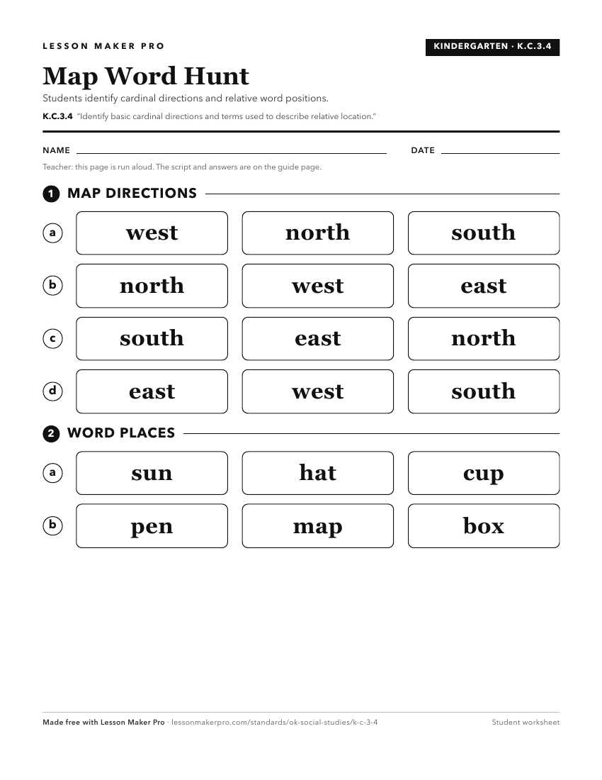
A ready-to-print activity worksheet aligned to K.C.3.4, with an answer key for the teacher on its own page. No account needed.
PDF, US Letter, prints cleanly in black and white.
Download the worksheetKeep exploring
Related Standards
- 2.C.3.2
Describe the relative location of the student’s community to major metropolitan centers of the state, using cardinal and intermediate directions.
- 6.C.1.2.B
Use the system of latitude and longitude to identify the absolute location of a place on maps and globes.
- 1.C.3
Demonstrate knowledge of basic geographic concepts.
- 1.C.3.5
Identify cardinal directions and use them to identify specific locations on a map and globe, including the location of the national capital, Washington, D.C., a...
Turn this exact standard into a lesson
Grade, subject, topic, and the complete standard are prefilled. Create one free, no account needed.
Also for this standard:Make a WorksheetMake a QuizMake a Sub Lesson