Oklahoma Social Studies 6.C.1.2.B
The Standard
- 6.C.1
- Analyze data from a geographic perspective using the skills and tools of geography.
- 6.C.1.2
- Integrate visual information to organize understandings about the people and environments of the Western Hemisphere.
Use the system of latitude and longitude to identify the absolute location of a place on maps and globes.
Oklahoma Academic Standards for Social Studies (2026) · 6.C.1.2
Teacher's field guide
What This Standard Means
What Students Need to Do
- Students read latitude as degrees north or south of the equator and longitude as degrees east or west of the prime meridian. They use both to locate a place on a map or globe.
What Mastery Looks Like
- Given coordinates, a student can mark the correct spot on a gridded map. Given a marked spot, they can write its coordinates in latitude-longitude order with the correct hemisphere letters.
Common Misconceptions
- Students often swap latitude and longitude. They may think latitude measures east and west because latitude lines run that way. Leaving off N, S, E, or W can put a point in the wrong hemisphere.
How to Assess It
- Exit ticket: On a gridded world map, mark 30°N, 60°E. Label which number is latitude.
Lesson moves
Ways to Teach It
Give pairs a gridded world map and sticky dots; ask them to mark 30°N, 60°E and 20°S, 40°W.
Ask students to sketch 30°N, 60°E and 60°N, 30°E, then explain why the points differ.
Play coordinate relay: teams take turns placing a marker at coordinates called from a prepared list on a large gridded map.
Plot a storm reported at 20°N, 70°W on an Atlantic map, then name nearby islands that should check the forecast.
Free download
Printable 6.C.1.2.B Worksheet
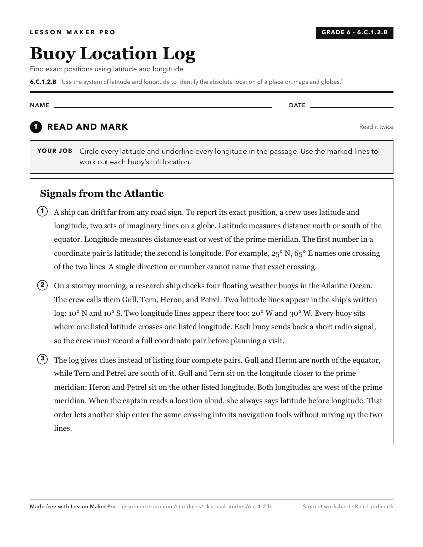
A ready-to-print activity worksheet aligned to 6.C.1.2.B, with an answer key for the teacher on its own page. No account needed.
PDF, US Letter, prints cleanly in black and white.
Download the worksheetKeep exploring
Related Standards
- 6.C.1.2.A
Apply the concepts of scale, distance, and direction to explain the relative location of physical and human places using maps and globes; explain how various ma...
- 3.C.2.2.B
Distinguish between relative location and absolute location (latitude and longitude) to describe the location of Oklahoma’s major natural and human features on ...
- 2.C.3.5
Describe the location of places on a map and globe, using a basic grid system.
- 4.C.2.1.C
Use the system of latitude and longitude to identify the absolute location of physical and human features of the United States of America.
Turn this exact standard into a lesson
Grade, subject, topic, and the complete standard are prefilled. Create one free, no account needed.
Also for this standard:Make a WorksheetMake a QuizMake a Sub Lesson