Oklahoma Social Studies 6.C.1.2.A
The Standard
- 6.C.1
- Analyze data from a geographic perspective using the skills and tools of geography.
- 6.C.1.2
- Integrate visual information to organize understandings about the people and environments of the Western Hemisphere.
Apply the concepts of scale, distance, and direction to explain the relative location of physical and human places using maps and globes; explain how various map projections are distorted.
Oklahoma Academic Standards for Social Studies (2026) · 6.C.1.2
Teacher's field guide
What This Standard Means
What Students Need to Do
- Students use a map scale and compass rose to describe how far and in what direction one place is from another. They compare flat maps with a globe to see how maps can change the apparent size, shape, distance, or direction of places.
What Mastery Looks Like
- Given a scaled map, a student can measure the distance from a town to a mountain and say which direction the mountain lies. They can explain why Greenland looks too large compared with Africa on a Mercator map.
Common Misconceptions
- Students may use the same distance for one inch on every map, even when the scales differ. They may think Greenland is nearly as large as Africa because it looks that way on a Mercator map.
How to Assess It
- Give students a scaled map with a town and mountain marked, plus a Mercator map and globe. Ask for the mountain's distance and direction from town, then ask which view shows Greenland's size more accurately.
Lesson moves
Ways to Teach It
Stretch string between a marked town and mountain on a paper map, measure it against the scale bar, and report the direction.
Show a Mercator map beside a globe and ask students to write why Greenland looks larger on the map.
On one scaled map, pairs draw place cards and race to report each place's distance and direction from a marked town.
On a scaled town map, have students pick the closest park to school and report its direction and distance.
Free download
Printable 6.C.1.2.A Worksheet
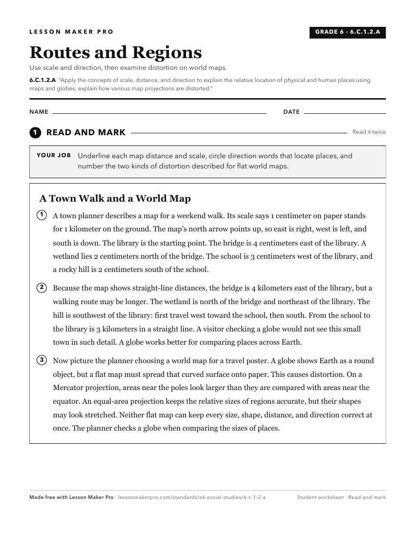
A ready-to-print activity worksheet aligned to 6.C.1.2.A, with an answer key for the teacher on its own page. No account needed.
PDF, US Letter, prints cleanly in black and white.
Download the worksheetKeep exploring
Related Standards
- 4.C.2.1.B
Use maps and other geographic representations (e.g., globes, charts, graphs) and geographic technologies to draw conclusions (e.g., settlement patterns, populat...
- 5.P.2.3.B
Analyze human and physical features of the nation by drawing conclusions and explaining spatial relationships of physical and human places from geographic repre...
- 4.C.2.1.A
Use and describe various elements of maps (e.g., key/legend, scale, cardinal and intermediate directions) to examine the physical and human features of the nati...
- 1.C.3.1
Explain that a globe is a model of the Earth and that maps can be used to represent local places or specific regions of the state, nation, or world.
Turn this exact standard into a lesson
Grade, subject, topic, and the complete standard are prefilled. Create one free, no account needed.
Also for this standard:Make a WorksheetMake a QuizMake a Sub Lesson