Oklahoma Social Studies 4.C.2.1.B
The Standard
- 4.C.2
- Apply the tools and concepts of geography to examine the physical and human geography of the United States of America.
- 4.C.2.1
- Use geographic tools to acquire and process information from a spatial perspective.
Use maps and other geographic representations (e.g., globes, charts, graphs) and geographic technologies to draw conclusions (e.g., settlement patterns, population trends, population density, relative location of natural resources to manufacturing centers).
Oklahoma Academic Standards for Social Studies (2026) · 4.C.2.1
Teacher's field guide
What This Standard Means
What Students Need to Do
- Students read maps and graphs to find patterns in where people live and work. They compare places and use map details and numbers to support a conclusion.
What Mastery Looks Like
- A student can use a map key to find towns near a river or road. They can match those towns to a population graph and explain a pattern using evidence from both.
Common Misconceptions
- Students may treat each dot on a map as one person, even when the key says it stands for 100 people. They may assume a river caused a town to grow without checking the population graph.
How to Assess It
- Give students a map showing two towns and a river, plus a bar graph of each town's population. Ask: Which town has more people, and what map detail might help explain why?
Lesson moves
Ways to Teach It
Give pairs a road map and town population cards; have them place one dot per 100 people at each town, then describe a cluster.
Show a map with a forest, sawmill, and towns; ask, 'Why might the sawmill be here? Name two map clues.'
Play map detective: teams draw a clue card and use a map key and bar graph to support a claim about town growth.
Open a digital map of your town; have students mark two groups of homes and compare the nearby roads or waterways.
Free download
Printable 4.C.2.1.B Worksheet
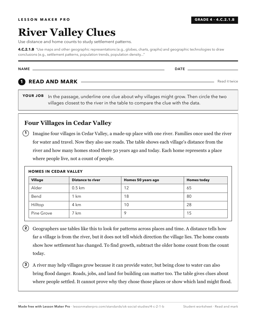
A ready-to-print activity worksheet aligned to 4.C.2.1.B, with an answer key for the teacher on its own page. No account needed.
PDF, US Letter, prints cleanly in black and white.
Download the worksheetKeep exploring
Related Standards
- 7.P.2.3.B
Use multiple mapping techniques, data visuals, satellite images, and geographic technology to analyze spatial patterns of physical and human characteristics, ma...
- 8.P.2.3.B
Use multiple mapping techniques, data visuals, satellite images, and geographic technology to analyze spatial patterns of physical and human characteristics, ma...
- 6.C.1.2.C
Use different types of maps, graphs, charts, and geographic tools, such as satellite imagery and Geographic Information System (GIS) technology to draw conclusi...
- 6.P.2.3.B
Use multiple mapping techniques, data visuals, satellite images, and geographic technology to analyze spatial patterns of physical and human characteristics, ma...
Turn this exact standard into a lesson
Grade, subject, topic, and the complete standard are prefilled. Create one free, no account needed.
Also for this standard:Make a WorksheetMake a QuizMake a Sub Lesson