Oklahoma Social Studies 6.P.2.3.B
The Standard
- 6.P.2
- Use interdisciplinary tools to acquire, apply, and evaluate content understanding of the four strands of social studies.
- 6.P.2.3
- Demonstrate a mastery of geographic concepts and the use of geographic tools to understand the impact of geography on the past and present.
Use multiple mapping techniques, data visuals, satellite images, and geographic technology to analyze spatial patterns of physical and human characteristics, making connections between regions.
Oklahoma Academic Standards for Social Studies (2026) · 6.P.2.3
Teacher's field guide
What This Standard Means
What Students Need to Do
- Students use physical maps, population maps, satellite images, and a digital map to find patterns in land, water, and settlement. They compare two regions and support their ideas with evidence from the maps.
What Mastery Looks Like
- A student can mark the Nile's green corridor and nearby population clusters, then contrast them with the drier interior of Arabia. They cite a satellite image and a population map to support the comparison.
Common Misconceptions
- Students may treat a satellite image as a population map or assume all desert land is empty. They may compare maps at different scales and mistake a larger image for a larger real-world area.
How to Assess It
- Give students a satellite image and a population density map for the Nile Valley and central Arabia. Ask: “Where is population concentrated, and how does the landscape help explain one difference between the regions?”
Lesson moves
Ways to Teach It
Lay tracing paper over satellite images of the Nile Valley and central Arabia; mark green areas, roads, and towns in different colors.
Ask: “Why do the population maps show different settlement patterns in these regions? Cite one feature from each satellite image.”
Give pairs physical map, satellite image, and population map cards for both regions; have them match the sets and name a pattern.
Open Google Earth near Cairo; find a farm, a town, and a road, then sketch a truck route from farm to town.
Free download
Printable 6.P.2.3.B Worksheet
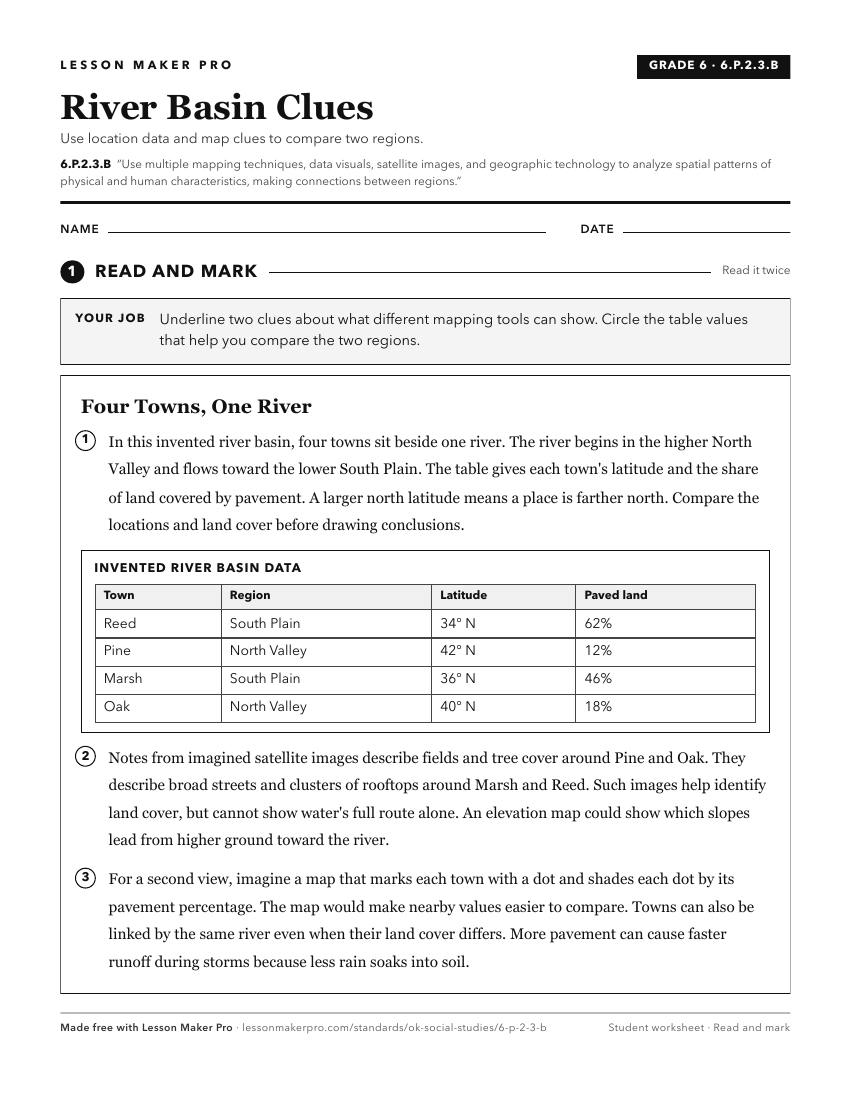
A ready-to-print activity worksheet aligned to 6.P.2.3.B, with an answer key for the teacher on its own page. No account needed.
PDF, US Letter, prints cleanly in black and white.
Download the worksheetKeep exploring
Related Standards
- 7.P.2.3.B
The 7th Grade version of this standard.
- OKH.P.2.3.B
Compare and analyze complex maps and mapping technologies to analyze spatial patterns of human and physical environments, explaining relationships between the e...
- AWH.P.2.3.B
Compare and analyze complex maps and mapping technologies to analyze spatial patterns of human and physical environments, explaining relationships between the e...
- 8.P.2.3.B
The 8th Grade version of this standard.
Turn this exact standard into a lesson
Grade, subject, topic, and the complete standard are prefilled. Create one free, no account needed.
Also for this standard:Make a WorksheetMake a QuizMake a Sub Lesson