Oklahoma Social Studies AWH.P.2.3.B
The Standard
- AWH.P.2.3
- Demonstrate a mastery of geographic concepts and the use of geographic tools to understand the impact of geography on the past and present.
Compare and analyze complex maps and mapping technologies to analyze spatial patterns of human and physical environments, explaining relationships between the environment and events, past and present.
Oklahoma Academic Standards for Social Studies (2026) · AWH.P.2.3
Teacher's field guide
What This Standard Means
What Students Need to Do
- Students compare a map of the 79 CE ashfall with a current hazard map and a satellite image. They locate towns near Vesuvius and explain how the volcano affected people in the past and poses risks now.
What Mastery Looks Like
- A student uses the map keys to distinguish where ash fell from where an eruption could cause harm. They locate Pompeii and a town in a current hazard zone, then explain what each place faces or faced.
Common Misconceptions
- Students may read a current hazard zone as the exact area covered by ash in 79 CE. They may also assume maps alone prove why people chose to live near the volcano.
How to Assess It
- Show a map of the 79 CE ashfall and a current Vesuvius hazard map. Ask students to name one place affected in 79 CE and one town at risk now, using each map key to explain their choices.
Lesson moves
Ways to Teach It
Give pairs matching-scale maps of the 79 CE ashfall and current hazards; have them overlay tracing paper and mark Pompeii and nearby towns.
Ask, “Why might families live near Vesuvius now?” Have students cite one map detail and name one fact the maps cannot show.
Hand out ashfall, elevation, and population maps; students match each map to a claim, then flag one claim the maps cannot support.
Use Italy’s Civil Protection red zone map and Google Maps to locate a town and mark two roads residents could use to leave.
Free download
Printable AWH.P.2.3.B Worksheet
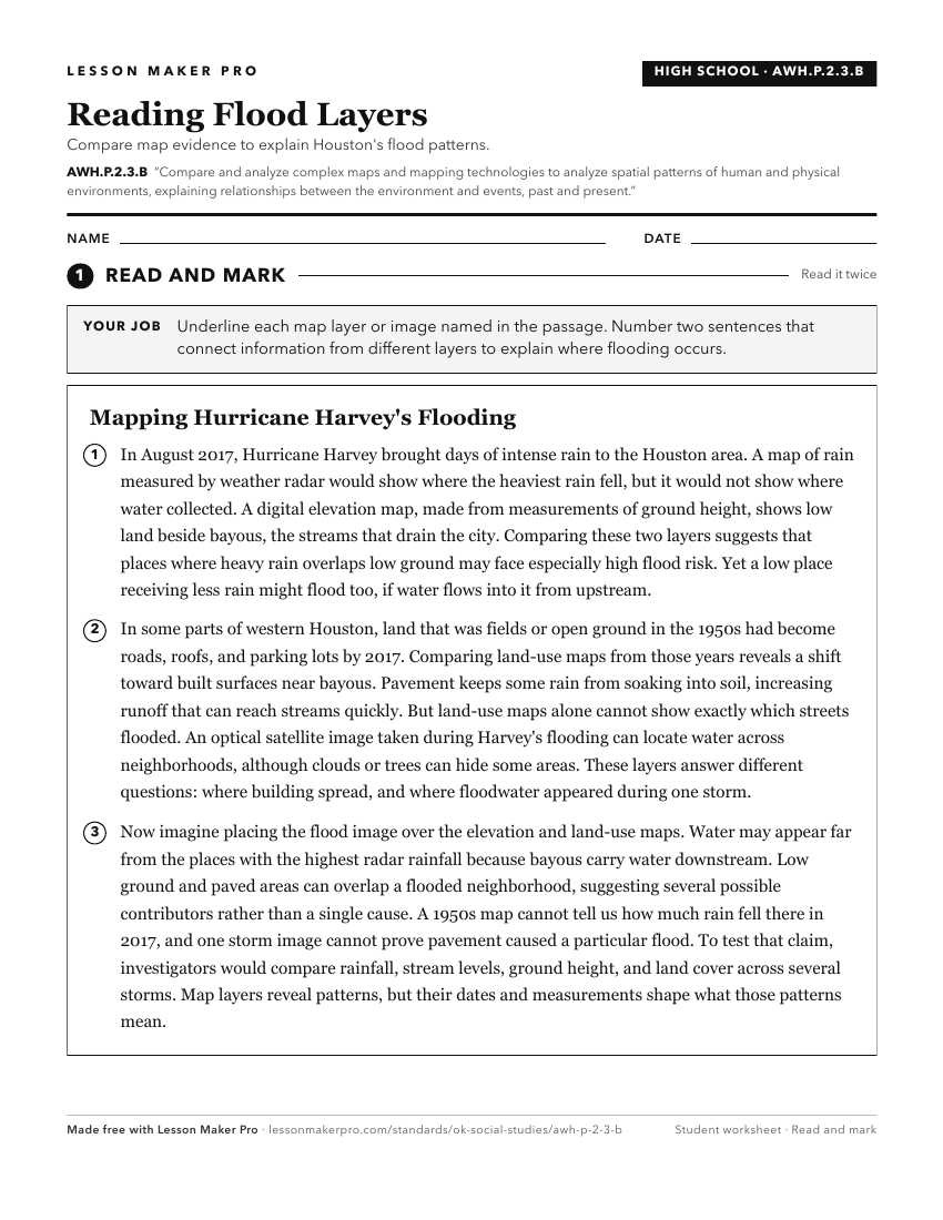
A ready-to-print activity worksheet aligned to AWH.P.2.3.B, with an answer key for the teacher on its own page. No account needed.
PDF, US Letter, prints cleanly in black and white.
Download the worksheetKeep exploring
Related Standards
- TOT.P.2.3.B
Compare and analyze complex maps and mapping technologies to analyze spatial patterns of human and physical environments, explaining relationships between the e...
- E.P.2.3.B
Compare and analyze complex maps and mapping technologies to analyze spatial patterns of human and physical environments, explaining relationships between the e...
- USH.P.2.3.B
Compare and analyze complex maps and mapping technologies to analyze spatial patterns of human and physical environments, explaining relationships between the e...
- USG.P.2.3.B
Compare and analyze complex maps and mapping technologies to analyze spatial patterns of human and physical environments, explaining relationships between the e...
Turn this exact standard into a lesson
Grade, subject, topic, and the complete standard are prefilled. Create one free, no account needed.
Also for this standard:Make a WorksheetMake a QuizMake a Sub Lesson