Oklahoma Social Studies E.P.2.3.B
The Standard
- E.P.2
- Use interdisciplinary tools to acquire, apply, and evaluate content understanding of the four strands of social studies.
- E.P.2.3
- Demonstrate a mastery of geographic concepts and the use of geographic tools to understand the impact of geography on the past and present.
Compare and analyze complex maps and mapping technologies to analyze spatial patterns of human and physical environments, explaining relationships between the environment and events, past and present.
Oklahoma Academic Standards for Social Studies (2026) · E.P.2.3
Teacher's field guide
What This Standard Means
What Students Need to Do
- Students read the legends, scales, and dates on historical maps and current digital maps. They compare where rivers, flooded areas, and neighborhoods appear, then explain how the river and land use shaped past flooding and present risk.
What Mastery Looks Like
- A student can identify a pattern on two maps of the same area and support a claim with evidence from each. They can explain that a historic flood map shows where water went, while a current risk map shows where flooding may occur.
Common Misconceptions
- Students may treat a historic flood area and a current flood-risk zone as the same measurement. They may assume every place near a river floods or overlook changes in levees and development.
How to Assess It
- Give students a 1927 Mississippi River flood map and a current FEMA flood-risk map of the same stretch. Ask them to mark one overlap and explain one reason present risk might differ from the 1927 flood area.
Lesson moves
Ways to Teach It
Give pairs transparent sheets to trace flooded areas on a 1927 Mississippi River map and risk zones on a current FEMA map.
Ask students to write: Why might a town flooded in 1927 face different flood risk today? Use evidence from both maps.
Give teams river, elevation, flood-risk, and housing maps; have them choose two that best explain a marked neighborhood's risk.
Open FEMA's flood map for a river town and a street map, then circle roads that cross mapped flood zones.
Free download
Printable E.P.2.3.B Worksheet
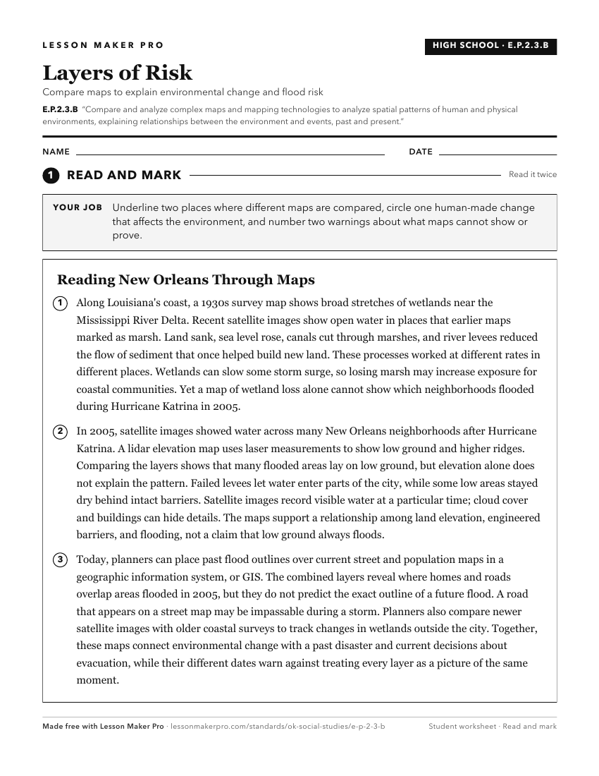
A ready-to-print activity worksheet aligned to E.P.2.3.B, with an answer key for the teacher on its own page. No account needed.
PDF, US Letter, prints cleanly in black and white.
Download the worksheetKeep exploring
Related Standards
- TOT.P.2.3.B
Compare and analyze complex maps and mapping technologies to analyze spatial patterns of human and physical environments, explaining relationships between the e...
- AWH.P.2.3.B
Compare and analyze complex maps and mapping technologies to analyze spatial patterns of human and physical environments, explaining relationships between the e...
- USH.P.2.3.B
Compare and analyze complex maps and mapping technologies to analyze spatial patterns of human and physical environments, explaining relationships between the e...
- USG.P.2.3.B
Compare and analyze complex maps and mapping technologies to analyze spatial patterns of human and physical environments, explaining relationships between the e...
Turn this exact standard into a lesson
Grade, subject, topic, and the complete standard are prefilled. Create one free, no account needed.
Also for this standard:Make a WorksheetMake a QuizMake a Sub Lesson