Oklahoma Social Studies 4.C.2.1.A
The Standard
- 4.C.2
- Apply the tools and concepts of geography to examine the physical and human geography of the United States of America.
- 4.C.2.1
- Use geographic tools to acquire and process information from a spatial perspective.
Use and describe various elements of maps (e.g., key/legend, scale, cardinal and intermediate directions) to examine the physical and human features of the nation.
Oklahoma Academic Standards for Social Studies (2026) · 4.C.2.1
Teacher's field guide
What This Standard Means
What Students Need to Do
- Students read a U.S. map key to understand its symbols and colors. They use the scale and compass directions to describe where cities, roads, rivers, and mountains lie.
What Mastery Looks Like
- A student can use the key to tell a river from a highway. They can say Chicago is northeast of Denver and use the scale to estimate the distance between them.
Common Misconceptions
- Students may assume symbols mean the same thing on every map. They may confuse northeast with northwest, read map inches as real miles, or call a highway a natural feature.
How to Assess It
- Give students a U.S. map with a key and scale. Ask them to identify one river and one city, then estimate the distance and direction from Denver to Chicago.
Lesson moves
Ways to Teach It
Give pairs a paper U.S. map and ruler; have them mark Denver and Chicago, then measure the distance using the map scale.
Show a map with a river and highway, then ask, "How does the key help you tell which is which?"
Play map clue cards: students find a place described as northeast of a city or beside a river, then explain their choice.
Have students plan a drive from Denver to Chicago on a road map, noting the route, direction, and approximate distance.
Free download
Printable 4.C.2.1.A Worksheet
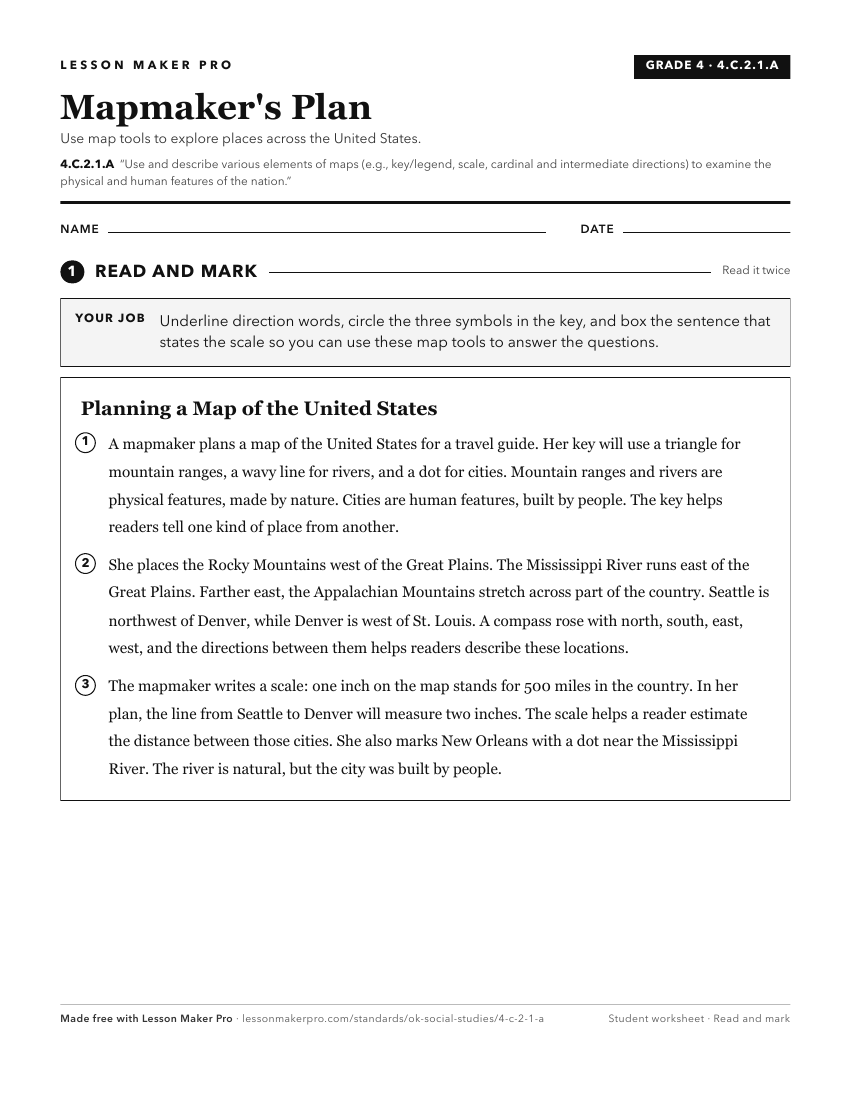
A ready-to-print activity worksheet aligned to 4.C.2.1.A, with an answer key for the teacher on its own page. No account needed.
PDF, US Letter, prints cleanly in black and white.
Download the worksheetKeep exploring
Related Standards
- 2.C.3.1
Construct and use basic physical and political maps, including a legend and compass rose; explain how symbols are used to represent physical features and man-ma...
- 5.P.2.3.B
Analyze human and physical features of the nation by drawing conclusions and explaining spatial relationships of physical and human places from geographic repre...
- 6.C.1.2.A
Apply the concepts of scale, distance, and direction to explain the relative location of physical and human places using maps and globes; explain how various ma...
- 4.P.2.3.B
Analyze human and physical features of the nation by drawing conclusions and explaining spatial relationships of physical and human places from geographic repre...
Turn this exact standard into a lesson
Grade, subject, topic, and the complete standard are prefilled. Create one free, no account needed.
Also for this standard:Make a WorksheetMake a QuizMake a Sub Lesson