Oklahoma Social Studies 2.C.3.1
The Standard
- 2.C.3
- Describe the physical and human characteristics of their environment.
Construct and use basic physical and political maps, including a legend and compass rose; explain how symbols are used to represent physical features and man-made structures on a map.
Oklahoma Academic Standards for Social Studies (2026) · 2.C.3
Teacher's field guide
What This Standard Means
What Students Need to Do
- Students draw simple maps showing rivers, buildings, and boundaries between towns. They use symbols, a legend, and a compass rose to find places and tell directions.
What Mastery Looks Like
- A student draws a river and school with symbols explained in a legend. They mark a town boundary and use a compass rose to describe where one place is compared with another. They can tell which features are natural and which are built.
Common Misconceptions
- Students may think a town boundary is a visible line on the ground, like a river. They may assume north is always at the top of the page, even when the compass rose points another way. Some draw buildings at full size instead of using symbols.
How to Assess It
- Ask students to draw two towns with a river between them, a school in one town, and a boundary line. Have them add a legend and compass rose, then label which town is east of the river.
Lesson moves
Ways to Teach It
Give pairs graph paper to map two made-up towns, adding a river, town boundary, school symbol, compass rose, and legend.
Show a map with a blue line and dashed line labeled in its legend; ask, 'Which line represents something you could see outdoors?'
On a printed map with a legend, call out 'Find the school north of the river'; students point and name the symbols they used.
Print a neighborhood map and a state map; students circle a park on one and trace a state boundary on the other.
Free download
Printable 2.C.3.1 Worksheet
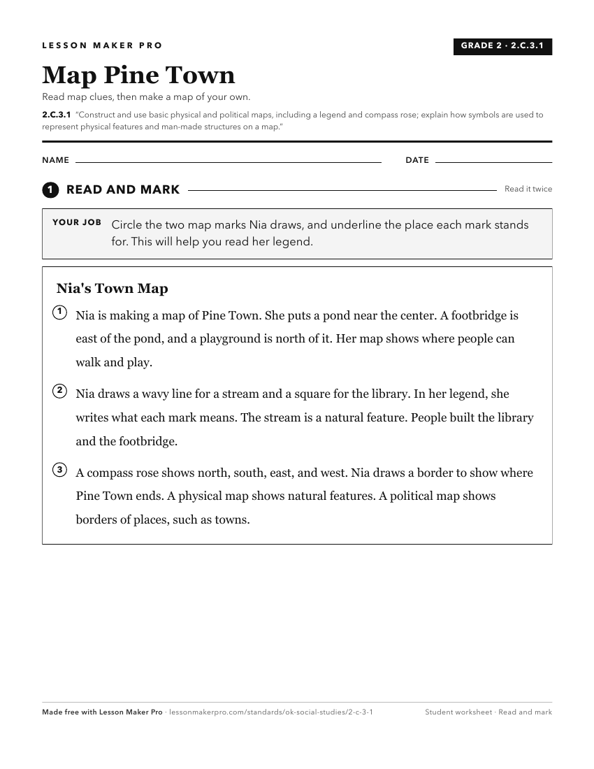
A ready-to-print activity worksheet aligned to 2.C.3.1, with an answer key for the teacher on its own page. No account needed.
PDF, US Letter, prints cleanly in black and white.
Download the worksheetKeep exploring
Related Standards
- 6.C.1.2.A
Apply the concepts of scale, distance, and direction to explain the relative location of physical and human places using maps and globes; explain how various ma...
- 2.C.3.3
Identify basic types of major landforms and bodies of water on physical maps.
- 4.C.2.1.A
Use and describe various elements of maps (e.g., key/legend, scale, cardinal and intermediate directions) to examine the physical and human features of the nati...
- 2.C.3.4
Construct basic physical maps indicating the continents and oceans of the world.
Turn this exact standard into a lesson
Grade, subject, topic, and the complete standard are prefilled. Create one free, no account needed.
Also for this standard:Make a WorksheetMake a QuizMake a Sub Lesson