Oklahoma Social Studies 2.C.3.4
The Standard
- 2.C.3
- Describe the physical and human characteristics of their environment.
Construct basic physical maps indicating the continents and oceans of the world.
Oklahoma Academic Standards for Social Studies (2026) · 2.C.3
Teacher's field guide
What This Standard Means
What Students Need to Do
- Students make a simple world map. They place and label the seven continents and five oceans, with land and water easy to tell apart.
What Mastery Looks Like
- Their map puts the continents in roughly the right places, with Africa below Europe and Antarctica at the bottom. All seven continents and five oceans have labels.
Common Misconceptions
- Some students call Antarctica an ocean because it is covered in ice. Others think the Pacific shown on both edges of a flat map is two separate oceans.
How to Assess It
- Give students a blank sheet and a labeled world map for reference. Ask them to draw rough land shapes, shade water blue, and label the seven continents and five oceans.
Lesson moves
Ways to Teach It
Place seven paper continent cutouts on blue paper, glue them down, and add labels for the five oceans.
Show a flat world map and ask, 'Why does the Pacific appear on both edges? Is it one ocean or two?'
Give pairs continent and ocean name cards to place on a blank world map, then check their work with an atlas.
Draw a flight route from North America to Europe, and label both continents and the Atlantic Ocean.
Free download
Printable 2.C.3.4 Worksheet
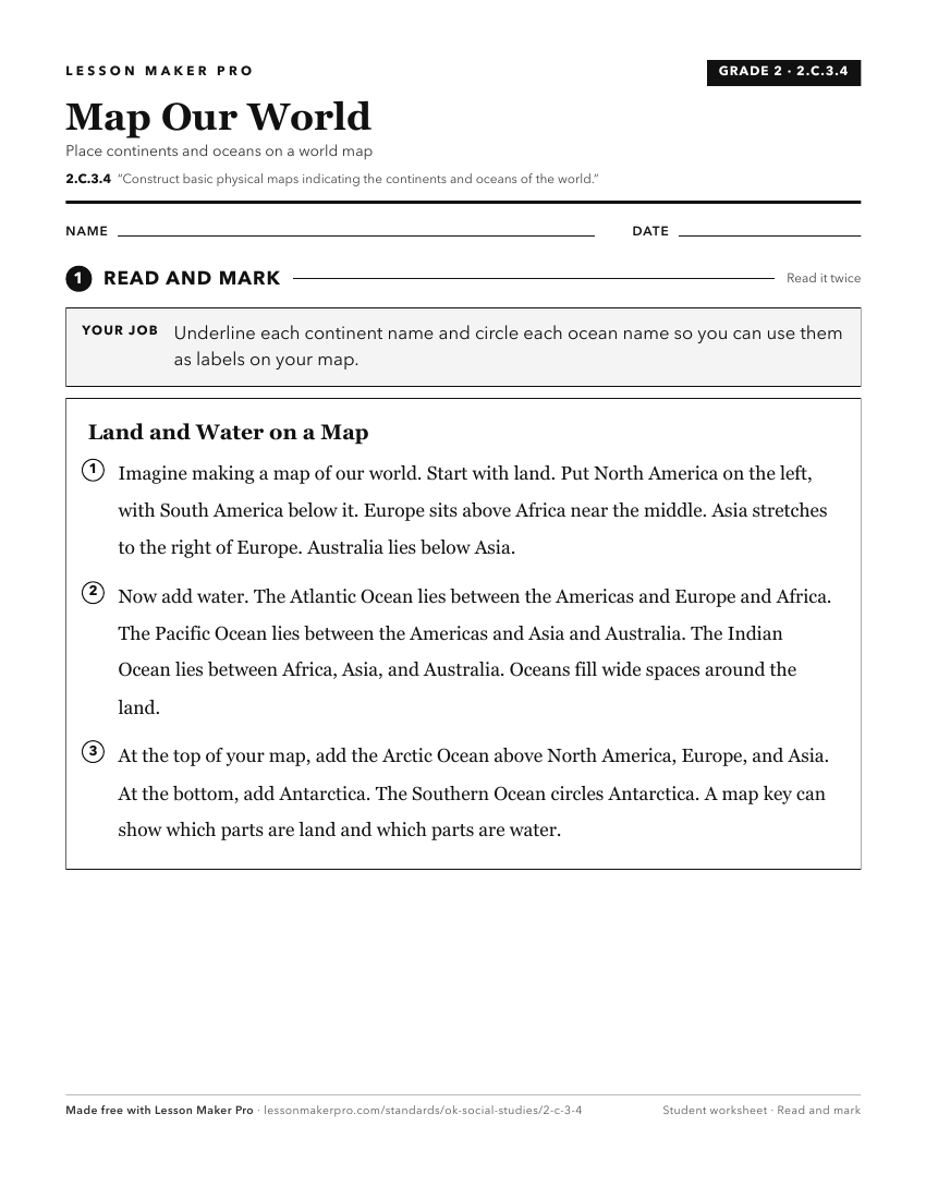
A ready-to-print activity worksheet aligned to 2.C.3.4, with an answer key for the teacher on its own page. No account needed.
PDF, US Letter, prints cleanly in black and white.
Download the worksheetKeep exploring
Related Standards
- 2.C.3.1
Construct and use basic physical and political maps, including a legend and compass rose; explain how symbols are used to represent physical features and man-ma...
- 6.C.2.1
Identify and describe on a physical map the major landforms and bodies of water important to the development of each region of the Western Hemisphere.
- 2.C.3.3
Identify basic types of major landforms and bodies of water on physical maps.
- 1.C.3.4
Distinguish between landmasses and bodies of water on a map and globe, identifying the continent of North America and the countries and oceans bordering the Uni...
Turn this exact standard into a lesson
Grade, subject, topic, and the complete standard are prefilled. Create one free, no account needed.
Also for this standard:Make a WorksheetMake a QuizMake a Sub Lesson