Oklahoma Social Studies 1.C.3.4
The Standard
- 1.C.3
- Demonstrate knowledge of basic geographic concepts.
Distinguish between landmasses and bodies of water on a map and globe, identifying the continent of North America and the countries and oceans bordering the United States of America.
Oklahoma Academic Standards for Social Studies (2026) · 1.C.3
Teacher's field guide
What This Standard Means
What Students Need to Do
- Students tell land from water on a map and globe. They locate North America, Canada, Mexico, and the oceans along the United States.
What Mastery Looks Like
- A student can point to North America on a map and globe and find the United States within it. They can locate Canada to the north and Mexico to the south. They can find the Atlantic and Pacific oceans, plus the Arctic Ocean along Alaska.
Common Misconceptions
- Students may call North America a country or put Mexico north of the United States. They may miss the Arctic Ocean because Alaska often appears in a separate box on maps.
How to Assess It
- Give students a globe and a simple map that includes Alaska. Ask them to point to land and water on both, then mark North America, Canada, Mexico, and the Atlantic, Pacific, and Arctic oceans on the map.
Lesson moves
Ways to Teach It
Give pairs a globe and sticky notes to mark North America, Canada, Mexico, and the three oceans along U.S. coasts.
Point to blue and green areas on a globe and ask, 'Which are water, which are land, and how can you tell?'
Play globe pointer: call out Canada, Mexico, or an ocean, and have partners find it before swapping roles.
Show a flight route from New York to London and ask students to trace the Atlantic Ocean crossing on a globe.
Free download
Printable 1.C.3.4 Worksheet
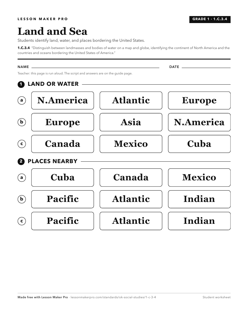
A ready-to-print activity worksheet aligned to 1.C.3.4, with an answer key for the teacher on its own page. No account needed.
PDF, US Letter, prints cleanly in black and white.
Download the worksheetKeep exploring
Related Standards
- 6.C.2.1
Identify and describe on a physical map the major landforms and bodies of water important to the development of each region of the Western Hemisphere.
- K.C.3.5
Distinguish between land and water on a map.
- 2.C.3.3
Identify basic types of major landforms and bodies of water on physical maps.
- 4.C.2.2.A
Identify the location and the physical characteristics of the major landforms and bodies of water in the United States of America.
Turn this exact standard into a lesson
Grade, subject, topic, and the complete standard are prefilled. Create one free, no account needed.
Also for this standard:Make a WorksheetMake a QuizMake a Sub Lesson