Oklahoma Social Studies 2.C.3.3
The Standard
- 2.C.3
- Describe the physical and human characteristics of their environment.
Identify basic types of major landforms and bodies of water on physical maps.
Oklahoma Academic Standards for Social Studies (2026) · 2.C.3
Teacher's field guide
What This Standard Means
What Students Need to Do
- Students use a physical map and its key to find mountains, plains, rivers, lakes, and oceans. They name each feature and tell whether it is land or water.
What Mastery Looks Like
- Given a new physical map, a student can point to a mountain, a plain, a river, and a lake. They use the key and the feature's shape to explain each choice.
Common Misconceptions
- Students may call every blue area an ocean, including lakes and rivers. They may think all land is flat unless it has a mountain symbol.
How to Assess It
- Give students a physical map with a key. Ask them to circle one landform and one body of water, name each type, and write one map clue they used.
Lesson moves
Ways to Teach It
Give pairs clay and blue paper to build a map with a mountain, plain, river, and lake, then draw a key.
Show a North America physical map and ask, 'Why is Lake Superior a lake and not an ocean? Point to map clues.'
Play map hunt: call out 'river,' 'lake,' 'mountain,' or 'plain,' and award a point for each correct find on a printed map.
Use an Oklahoma physical map to locate the Wichita Mountains and Arkansas River, then mark both on a pretend travel postcard.
Free download
Printable 2.C.3.3 Worksheet
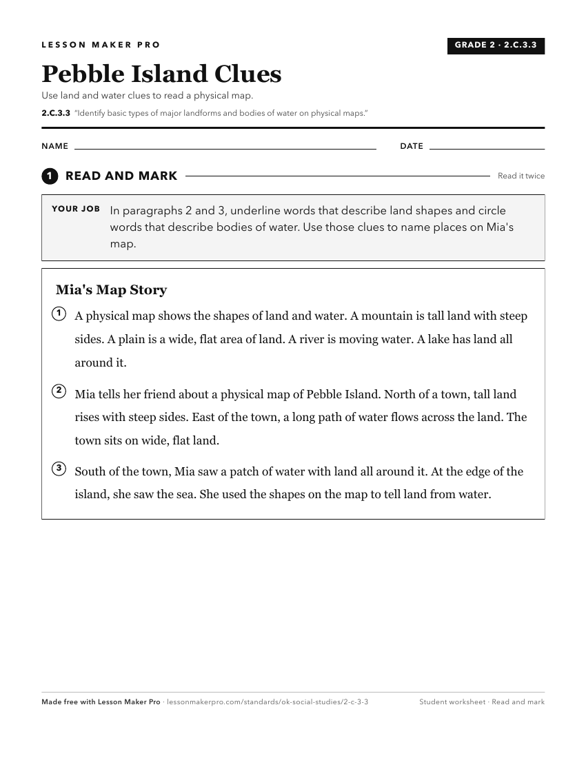
A ready-to-print activity worksheet aligned to 2.C.3.3, with an answer key for the teacher on its own page. No account needed.
PDF, US Letter, prints cleanly in black and white.
Download the worksheetKeep exploring
Related Standards
- 6.C.2.1
Identify and describe on a physical map the major landforms and bodies of water important to the development of each region of the Western Hemisphere.
- 7.C.2.1
Identify on a physical map the major landforms and bodies of water of each region and compare climatic conditions, vegetation, and biomes using thematic maps an...
- K.C.3.5
Distinguish between land and water on a map.
- 4.C.2.2.A
Identify the location and the physical characteristics of the major landforms and bodies of water in the United States of America.
Turn this exact standard into a lesson
Grade, subject, topic, and the complete standard are prefilled. Create one free, no account needed.
Also for this standard:Make a WorksheetMake a QuizMake a Sub Lesson