Oklahoma Social Studies 4.P.2.3.B
The Standard
- 4.P.2
- Use interdisciplinary tools to acquire, apply, and evaluate content understanding of the four strands of social studies.
- 4.P.2.3
- Demonstrate a mastery of geographic concepts and the use of geographic tools to understand the impact of geography on the past and present.
Analyze human and physical features of the nation by drawing conclusions and explaining spatial relationships of physical and human places from geographic representations.
Oklahoma Academic Standards for Social Studies (2026) · 4.P.2.3
Teacher's field guide
What This Standard Means
What Students Need to Do
- Students use U.S. maps to find rivers, mountains, and cities. They describe where places are in relation to one another and use map details to make reasonable conclusions.
What Mastery Looks Like
- A student can locate the Rocky Mountains and Mississippi River and describe where a city sits compared with either feature. They can point to map evidence when explaining why a city may have grown near a river.
Common Misconceptions
- Students may confuse a river line with a road or think a city dot shows the city's actual size. They may also treat a city's location near water as proof of why it grew.
How to Assess It
- Show a map with the Mississippi River, St. Louis, Memphis, and New Orleans labeled. Ask: “What do these cities have in common about their locations? Use one map detail in your answer.”
Lesson moves
Ways to Teach It
Place tracing paper over a U.S. physical map, trace the Mississippi River, then mark St. Louis, Memphis, and New Orleans using a city map.
Show a map of Denver and the Rocky Mountains, then ask: “Where is Denver compared with the mountains? What on the map tells you?”
Give pairs maps and location claims, such as “Memphis is east of the Mississippi,” and have them sort each claim as supported or not supported.
Trace a grain barge route from St. Louis to New Orleans on a shipping map, then ask why both cities appear on the route.
Free download
Printable 4.P.2.3.B Worksheet
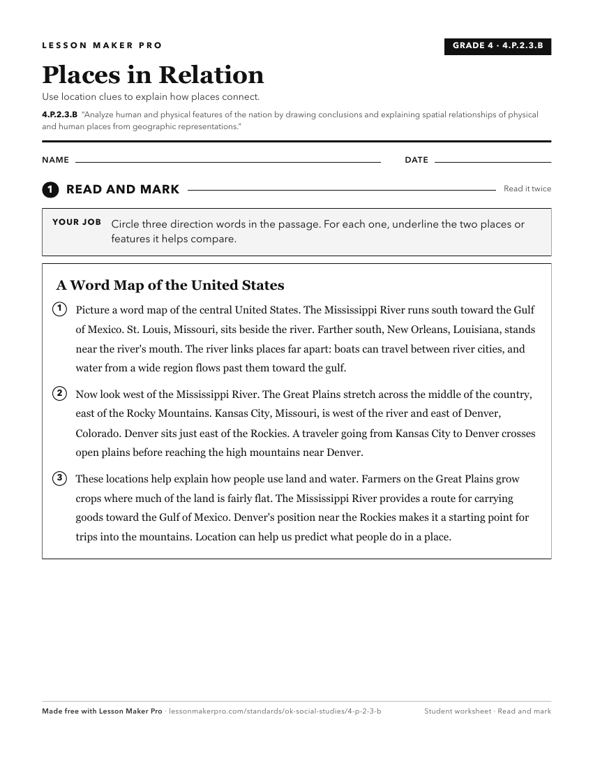
A ready-to-print activity worksheet aligned to 4.P.2.3.B, with an answer key for the teacher on its own page. No account needed.
PDF, US Letter, prints cleanly in black and white.
Download the worksheetKeep exploring
Related Standards
- 5.P.2.3.B
The 5th Grade version of this standard.
- 7.P.2.3.B
Use multiple mapping techniques, data visuals, satellite images, and geographic technology to analyze spatial patterns of physical and human characteristics, ma...
- WG.C.1.2
Utilize geographic skills to understand and analyze the spatial organization of people, places, and environments on the Earth’s surface.
- 6.P.2.3.B
Use multiple mapping techniques, data visuals, satellite images, and geographic technology to analyze spatial patterns of physical and human characteristics, ma...
Turn this exact standard into a lesson
Grade, subject, topic, and the complete standard are prefilled. Create one free, no account needed.
Also for this standard:Make a WorksheetMake a QuizMake a Sub Lesson