Oklahoma Social Studies 2.C.3.5
The Standard
- 2.C.3
- Describe the physical and human characteristics of their environment.
Describe the location of places on a map and globe, using a basic grid system.
Oklahoma Academic Standards for Social Studies (2026) · 2.C.3
Teacher's field guide
What This Standard Means
What Students Need to Do
- Students find places by matching a lettered column and numbered row on a map. They use a simple grid on a globe to describe where a marked place is.
What Mastery Looks Like
- Given a marked place, a student can name its grid square, such as B2, on a map or labeled globe. Given B2, they can point to the right square.
Common Misconceptions
- Students may swap the letter and number or point to a grid line instead of a square. They may think B2 names the same place on every map.
How to Assess It
- Show a 3-by-3 map and a ball with a labeled tape grid, each with one star. Ask students to write the grid square of each star.
Lesson moves
Ways to Teach It
Wrap a ball with tape to make three lettered columns and three numbered rows, then have pairs place stickers in called-out squares.
Ask partners to explain how they find B2 on the flat map and on the taped ball.
Play Grid Bingo on a 3-by-3 map: call A1 or C3, and students cover the named square with a coin.
Draw a neighborhood map with a school and fire station on a labeled grid; have students give a delivery driver each location.
Free download
Printable 2.C.3.5 Worksheet
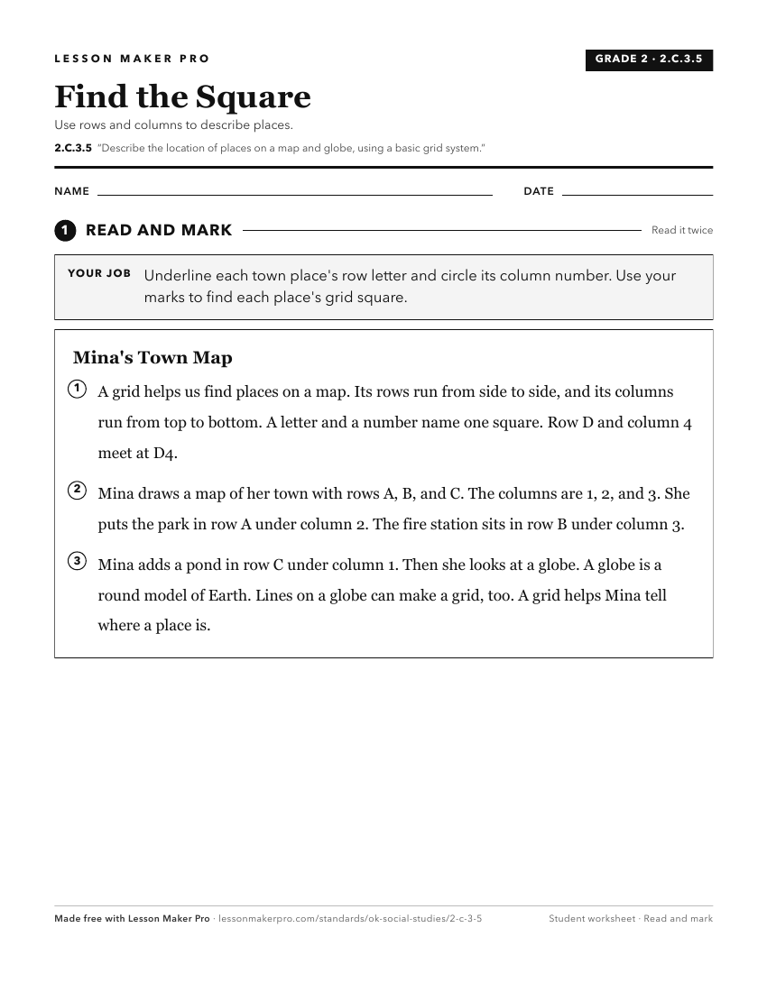
A ready-to-print activity worksheet aligned to 2.C.3.5, with an answer key for the teacher on its own page. No account needed.
PDF, US Letter, prints cleanly in black and white.
Download the worksheetKeep exploring
Related Standards
- 6.C.1.2.A
Apply the concepts of scale, distance, and direction to explain the relative location of physical and human places using maps and globes; explain how various ma...
- 6.C.1.2.B
Use the system of latitude and longitude to identify the absolute location of a place on maps and globes.
- 1.C.3
Demonstrate knowledge of basic geographic concepts.
- 1.C.3.1
Explain that a globe is a model of the Earth and that maps can be used to represent local places or specific regions of the state, nation, or world.
Turn this exact standard into a lesson
Grade, subject, topic, and the complete standard are prefilled. Create one free, no account needed.
Also for this standard:Make a WorksheetMake a QuizMake a Sub Lesson