Oklahoma Social Studies 1.C.3
Standard Cluster
Demonstrate knowledge of basic geographic concepts. Explain that a globe is a model of the Earth and that maps can be used to represent local places or specific regions of the state, nation, or world. Describe the difference between physical and political maps and how each can be used to inform us about the world. Construct maps of specific places, such as the community and state, and describe the relative location of physical and human features. Distinguish between landmasses and bodies of water on a map and globe, identifying the continent of North America and the countries and oceans bordering the United States of America. Identify cardinal directions and use them to identify specific locations on a map and globe, including the location of the national capital, Washington, D.C., and the Oklahoma state capital, Oklahoma City. Identify natural resources (e.g., water, soil, vegetation, minerals) and describe how people use natural resources to meet their needs and wants. Identify ways in which people adapt to the world around them (e.g., specific clothing for different climates, storm shelters). Identify how the physical environment of the community has been modified to meet specific needs (e.g., agricultural crops, forestry, dams). Describe how the physical environment affects occupational and recreational opportunities in the local community and region. Define culture and identify the elements of culture (e.g., language, customs, religion, food, clothing), using examples relevant to student experiences.
Oklahoma Academic Standards for Social Studies (2026)
Cluster contents
Standards in This Cluster
1.C.3 is a cluster heading. These are the individual standards under it.
- 1.C.3.1
Explain that a globe is a model of the Earth and that maps can be used to represent local places or specific regions of the state, nation, or world.
- 1.C.3.2
Describe the difference between physical and political maps and how each can be used to inform us about the world.
- 1.C.3.3
Construct maps of specific places, such as the community and state, and describe the relative location of physical and human features.
- 1.C.3.4
Distinguish between landmasses and bodies of water on a map and globe, identifying the continent of North America and the countries and oceans bordering the Uni...
- 1.C.3.5
Identify cardinal directions and use them to identify specific locations on a map and globe, including the location of the national capital, Washington, D.C., a...
- 1.C.3.6
Identify natural resources (e.g., water, soil, vegetation, minerals) and describe how people use natural resources to meet their needs and wants.
- 1.C.3.7
Identify ways in which people adapt to the world around them (e.g., specific clothing for different climates, storm shelters).
- 1.C.3.8
Identify how the physical environment of the community has been modified to meet specific needs (e.g., agricultural crops, forestry, dams).
- 1.C.3.9
Describe how the physical environment affects occupational and recreational opportunities in the local community and region.
- 1.C.3.10
Define culture and identify the elements of culture (e.g., language, customs, religion, food, clothing), using examples relevant to student experiences.
Teacher's field guide
What This Cluster Means
What Students Need to Do
- Students use maps and globes to find North America, nearby countries and oceans, and the U.S. and Oklahoma capitals. They compare physical and political maps, draw local maps, and use direction words to describe locations. They explain how people use resources, adapt to weather, change land, and share foods, languages, and customs.
What Mastery Looks Like
- A student finds Canada, Mexico, the Atlantic and Pacific oceans, Washington, D.C., and Oklahoma City on a globe or map. They identify mountains on a physical map and borders on a political map, then draw a local map with a north arrow. They link soil to farming, storm shelters to weather, and family customs to culture.
Common Misconceptions
- Students may think North America is a country or that a globe is the Earth itself. They may confuse a state border with a river or reverse east and west when they turn a map. They may think water comes only from a tap or that culture means only holidays.
How to Assess It
- Give students a sketch of the school with a north arrow, a pond, and a road. Ask them to draw a playground east of the school and circle the physical feature.
Lesson moves
Ways to Teach It
Give pairs a globe and physical and political maps; they mark North America, the bordering oceans, and both capitals with sticky notes.
Ask, 'What foods or customs do people in our community share?' List examples on chart paper and discuss how they show culture.
Play map bingo on student-drawn neighborhood maps; call clues like 'east of school' or 'south of the park' for students to mark.
Show photos of a local park and farm; students label a resource, a job, a way people changed the land, and a pastime.
Free download
Printable 1.C.3 Worksheet
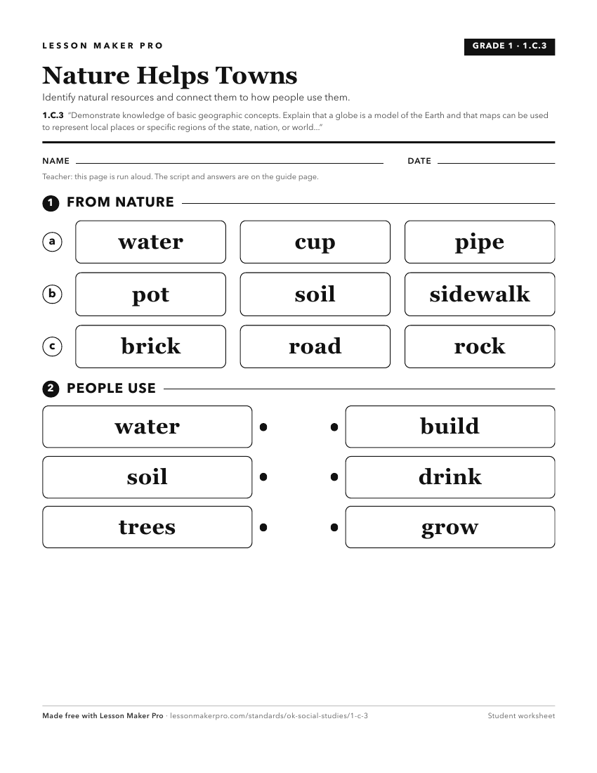
A ready-to-print activity worksheet aligned to 1.C.3, with an answer key for the teacher on its own page. No account needed.
PDF, US Letter, prints cleanly in black and white.
Download the worksheetKeep exploring
Related Standards
- 3.P.2.3
Demonstrate a mastery of geographic concepts and the use of geographic tools to understand the impact of geography on the past and present.
- MWH.P.2.3
Demonstrate a mastery of geographic concepts and the use of geographic tools to understand the impact of geography on the past and present.
- USG.P.2.3
Demonstrate a mastery of geographic concepts and the use of geographic tools to understand the impact of geography on the past and present.
- AWH.P.2.3
Demonstrate a mastery of geographic concepts and the use of geographic tools to understand the impact of geography on the past and present.
Turn this cluster into a lesson
Grade, subject, topic, and the complete cluster are prefilled. Create one free, no account needed.
Also for this cluster:Make a WorksheetMake a QuizMake a Sub Lesson