Oklahoma Social Studies 1.C.3.5
The Standard
- 1.C.3
- Demonstrate knowledge of basic geographic concepts.
Identify cardinal directions and use them to identify specific locations on a map and globe, including the location of the national capital, Washington, D.C., and the Oklahoma state capital, Oklahoma City.
Oklahoma Academic Standards for Social Studies (2026) · 1.C.3
Teacher's field guide
What This Standard Means
What Students Need to Do
- Students name north, south, east, and west on a map and globe. They find Oklahoma City and Washington, D.C., and use directions to describe where the cities are.
What Mastery Looks Like
- A student finds Oklahoma City in Oklahoma and Washington, D.C., on the eastern side of the United States. They point out all four directions and say Washington, D.C., is east of Oklahoma City.
Common Misconceptions
- Students may use left and right for east and west, even after turning a map. They may point to Washington state instead of Washington, D.C., or think Oklahoma City is a state.
How to Assess It
- Give students a U.S. map with unlabeled dots for both capitals and a globe with matching stickers. Ask them to name the cities, find them on the globe, point out all four directions, and say which city is east.
Lesson moves
Ways to Teach It
Put removable dots on a U.S. map and globe for both capitals, then have students trace east from Oklahoma City to Washington, D.C.
Ask partners, 'How can you tell Washington, D.C., is east of Oklahoma City?' Have them point to the compass rose as they explain.
Play map detective with both capitals marked on a U.S. map; partners take turns giving east and west clues.
Show a flight map between Oklahoma City and Washington, D.C., and ask which direction the plane travels to reach Washington.
Free download
Printable 1.C.3.5 Worksheet
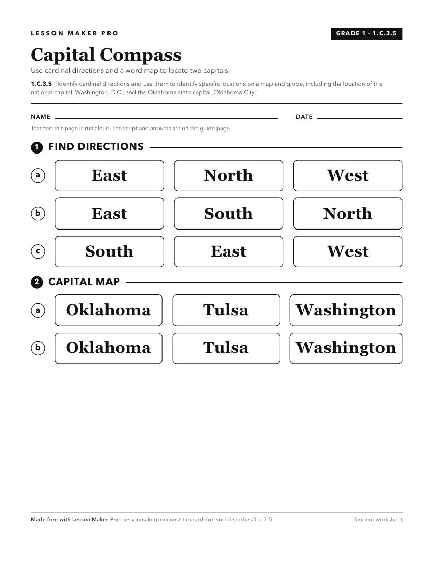
A ready-to-print activity worksheet aligned to 1.C.3.5, with an answer key for the teacher on its own page. No account needed.
PDF, US Letter, prints cleanly in black and white.
Download the worksheetKeep exploring
Related Standards
- 3.C.2.2.B
Distinguish between relative location and absolute location (latitude and longitude) to describe the location of Oklahoma’s major natural and human features on ...
- K.C.3.4
Identify basic cardinal directions and terms used to describe relative location.
- 3.C.2.2.D
Use both political and physical maps to identify Oklahoma’s major landforms, bodies of water, and major metropolitan centers, recognizing the Native origins of ...
- 4.C.2.3.A
Identify and locate on a political map the fifty states, the nation’s capital and its most populated cities.
Turn this exact standard into a lesson
Grade, subject, topic, and the complete standard are prefilled. Create one free, no account needed.
Also for this standard:Make a WorksheetMake a QuizMake a Sub Lesson