Oklahoma Social Studies 4.C.2.3.A
The Standard
- 4.C.2
- Apply the tools and concepts of geography to examine the physical and human geography of the United States of America.
- 4.C.2.3
- Analyze the human characteristics of the United States of America.
Identify and locate on a political map the fifty states, the nation’s capital and its most populated cities.
Oklahoma Academic Standards for Social Studies (2026) · 4.C.2.3
Teacher's field guide
What This Standard Means
What Students Need to Do
- Students locate and label all 50 states on a U.S. political map. They find Washington, D.C., and the country's most populated cities, including New York City, Los Angeles, Chicago, Houston, and Phoenix.
What Mastery Looks Like
- A student can label the states on a blank political map. They can mark Washington, D.C., and the five named cities in the right places.
Common Misconceptions
- Students may treat Washington, D.C., as a state or confuse it with Washington state. They may place a city in the wrong state, such as putting Chicago in Indiana.
How to Assess It
- Give students a blank U.S. political map. Ask them to label Maine, Oklahoma, California, Texas, and Illinois, then mark Washington, D.C., New York City, and Los Angeles.
Lesson moves
Ways to Teach It
Give pairs a 50-state puzzle map to assemble, then have them place labeled dots for Washington, D.C., and five major cities.
Ask partners to explain why Washington, D.C., and Washington state need different labels on a political map.
Play map bingo with state names and city names; students cover each place on a blank map as you call it.
Give students a mock road trip through New York City, Chicago, Houston, Phoenix, and Los Angeles; have them label each stop and its state.
Free download
Printable 4.C.2.3.A Worksheet
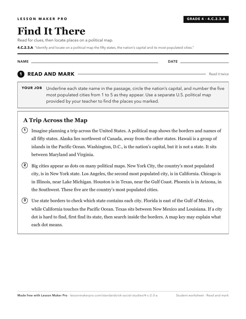
A ready-to-print activity worksheet aligned to 4.C.2.3.A, with an answer key for the teacher on its own page. No account needed.
PDF, US Letter, prints cleanly in black and white.
Download the worksheetKeep exploring
Related Standards
- 6.C.3.1
Identify on a political map the major countries and population centers of each region, describing urban, rural, suburban, and metropolitan settlement patterns.
- 4.C.2.2
Identify major physical regions of the United States of America and their unique features.
- 7.C.3.1
Identify on a political map the major countries and population centers of each region, describing urban, rural, suburban, and metropolitan settlement patterns.
- 1.C.3.5
Identify cardinal directions and use them to identify specific locations on a map and globe, including the location of the national capital, Washington, D.C., a...
Turn this exact standard into a lesson
Grade, subject, topic, and the complete standard are prefilled. Create one free, no account needed.
Also for this standard:Make a WorksheetMake a QuizMake a Sub Lesson