Oklahoma Social Studies 6.C.3.1
The Standard
- 6.C.3
- Identify the characteristics, distribution, and demographic patterns of human populations and systems of the Western Hemisphere.
Identify on a political map the major countries and population centers of each region, describing urban, rural, suburban, and metropolitan settlement patterns.
Oklahoma Academic Standards for Social Studies (2026) · 6.C.3
Teacher's field guide
What This Standard Means
What Students Need to Do
- Students find major countries and large population centers on political maps of the regions they study. They use population maps to describe urban, suburban, rural, and metropolitan areas.
What Mastery Looks Like
- A student can label major countries and large cities on a regional map without mixing them up. They can point out a dense city center, nearby suburbs, and less crowded rural land. They know a metropolitan area includes the city and nearby connected communities.
Common Misconceptions
- Students may label Delhi as a country or place Bangladesh inside India. They may call every place outside a city rural, even when it is a suburb. They may think metropolitan means only downtown.
How to Assess It
- On a South Asia political map, have students label India, Pakistan, Bangladesh, Delhi, Karachi, and Dhaka. On a Delhi-area inset showing city blocks, suburbs, and farmland, have them label urban, suburban, and rural areas and circle the metropolitan area.
Lesson moves
Ways to Teach It
Give pairs political and population maps of South Asia; have them pin Delhi, Dhaka, and Karachi and outline nearby dense areas.
Ask: Why does the shaded population area around Delhi extend past the city label? Write two sentences using urban, suburban, and metropolitan.
Play a map relay: teams place country and city cards for India, Pakistan, Bangladesh, Delhi, Karachi, and Dhaka on an unlabeled map.
Use an aerial photo of a nearby city to mark downtown, surrounding suburbs, farmland beyond, and the wider metro area.
Free download
Printable 6.C.3.1 Worksheet
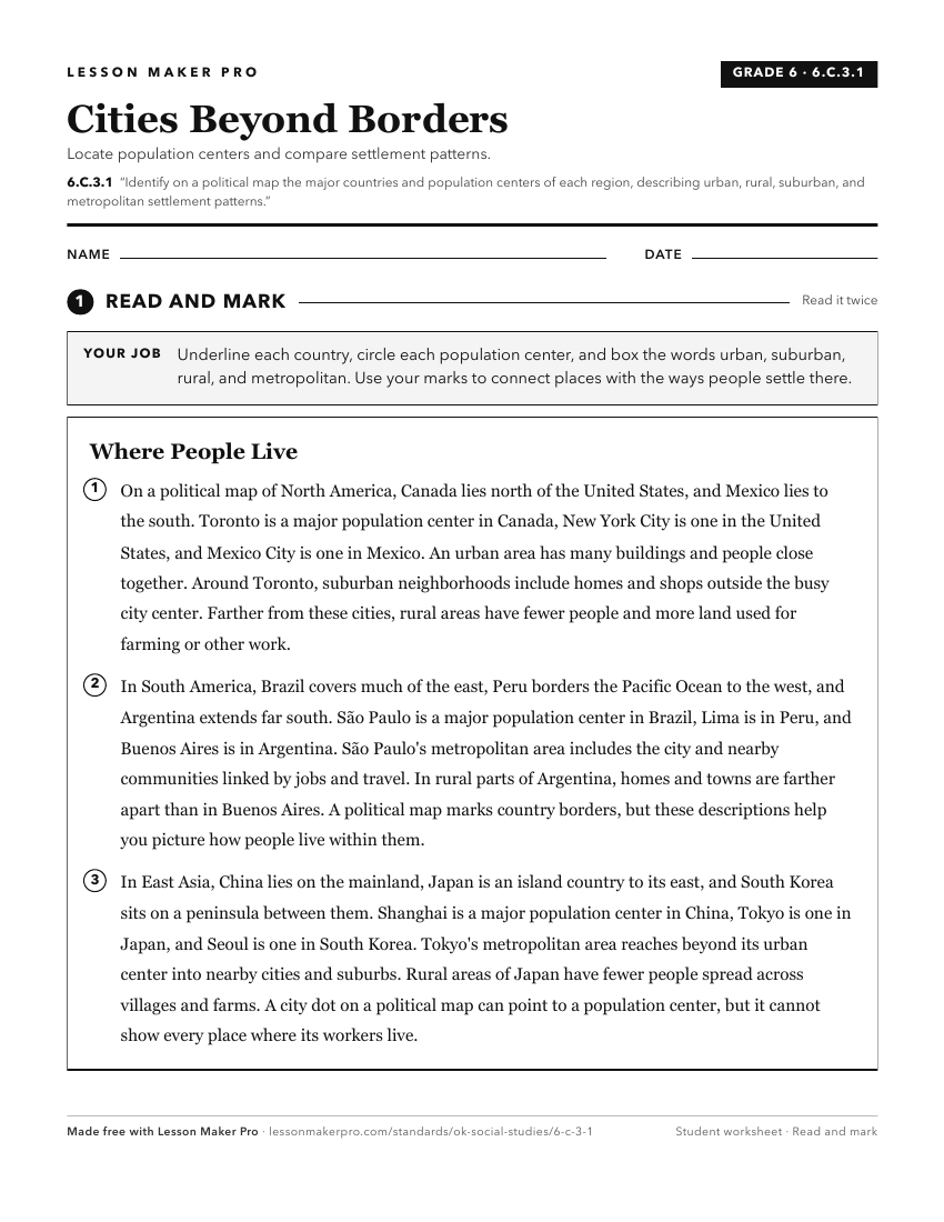
A ready-to-print activity worksheet aligned to 6.C.3.1, with an answer key for the teacher on its own page. No account needed.
PDF, US Letter, prints cleanly in black and white.
Download the worksheetKeep exploring
Related Standards
- 6.C.2.1
Identify and describe on a physical map the major landforms and bodies of water important to the development of each region of the Western Hemisphere.
- WG.C.2.2
Examine common characteristics of urban versus rural communities, including the patterns and impact of modern migration to urban centers and megacities.
- 7.C.3.1
The 7th Grade version of this standard.
- 4.C.2.3.A
Identify and locate on a political map the fifty states, the nation’s capital and its most populated cities.
Turn this exact standard into a lesson
Grade, subject, topic, and the complete standard are prefilled. Create one free, no account needed.
Also for this standard:Make a WorksheetMake a QuizMake a Sub Lesson