Oklahoma Social Studies 4.C.2.2
Standard Cluster
- 4.C.2
- Apply the tools and concepts of geography to examine the physical and human geography of the United States of America.
Identify major physical regions of the United States of America and their unique features. Identify the location and the physical characteristics of the major landforms and bodies of water in the United States of America. Describe the location of major climate zones (tropical, temperate, continental, polar) explaining how climate affects natural vegetation. Draw conclusions from geographic data to explain how climate, vegetation, and bodies of water can affect the location and growth of settlements and the development of economic activities.
Oklahoma Academic Standards for Social Studies (2026) · 4.C.2
Cluster contents
Standards in This Cluster
4.C.2.2 is a cluster heading. These are the individual standards under it.
- 4.C.2.2.A
Identify the location and the physical characteristics of the major landforms and bodies of water in the United States of America.
- 4.C.2.2.B
Describe the location of major climate zones (tropical, temperate, continental, polar) explaining how climate affects natural vegetation.
- 4.C.2.2.C
Draw conclusions from geographic data to explain how climate, vegetation, and bodies of water can affect the location and growth of settlements and the developm...
Teacher's field guide
What This Cluster Means
What Students Need to Do
- Students find major U.S. regions, landforms, and bodies of water on a map. They locate tropical, temperate, continental, and polar climate zones and connect each to natural vegetation. They use maps to explain how water, climate, and vegetation shape settlements and jobs.
What Mastery Looks Like
- A student can locate the Rockies, Great Plains, Great Lakes, and Mississippi River. They can place tropical Hawaii and polar northern Alaska on a climate map. They can explain how lake access and nearby farmland helped Chicago grow.
Common Misconceptions
- Students may confuse a day's weather with a region's climate. They may think the whole United States has the same climate, or that every place near water has the same plants and jobs.
How to Assess It
- Give students physical and climate maps. Ask: “How could the Great Lakes and nearby prairie help Chicago grow? Name its climate zone and one job.”
Lesson moves
Ways to Teach It
Trace a U.S. physical map on tracing paper, lay it over a climate map, and mark two cities beside bodies of water.
Ask: “Why did Chicago grow beside the Great Lakes rather than in the Rocky Mountains?” Have students cite both maps.
Give pairs cards for Hawaii, northern Alaska, western Washington, and Minnesota; have them match each place to climate and vegetation cards.
Show New Orleans on a map of the Mississippi River and Gulf of Mexico, then ask students why shipping jobs grew there.
Free download
Printable 4.C.2.2 Worksheet
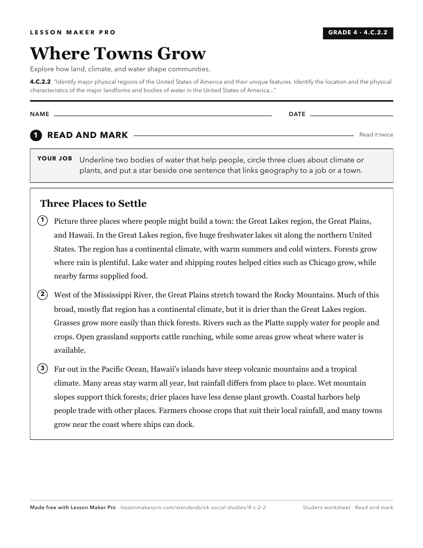
A ready-to-print activity worksheet aligned to 4.C.2.2, with an answer key for the teacher on its own page. No account needed.
PDF, US Letter, prints cleanly in black and white.
Download the worksheetKeep exploring
Related Standards
- 6.C.2.1
Identify and describe on a physical map the major landforms and bodies of water important to the development of each region of the Western Hemisphere.
- 4.C.2.1.E
Analyze the human and physical characteristics of the United States of America using the Five Themes of Geography (location, place, human-environment-interactio...
- 6.C.7.2
Identify examples of physical regions sharing common features of landforms, climate, vegetation, and natural resources (e.g., Great Plains, New England, Amazoni...
Turn this cluster into a lesson
Grade, subject, topic, and the complete cluster are prefilled. Create one free, no account needed.
Also for this cluster:Make a WorksheetMake a QuizMake a Sub Lesson