Oklahoma Social Studies 4.C.2.2.B
The Standard
- 4.C.2
- Apply the tools and concepts of geography to examine the physical and human geography of the United States of America.
- 4.C.2.2
- Identify major physical regions of the United States of America and their unique features.
Describe the location of major climate zones (tropical, temperate, continental, polar) explaining how climate affects natural vegetation.
Oklahoma Academic Standards for Social Studies (2026) · 4.C.2.2
Teacher's field guide
What This Standard Means
What Students Need to Do
- Students find tropical areas near the equator, polar areas near the poles, temperate areas between them, and continental areas inland. They explain how temperature and rainfall affect the plants that grow in each place.
What Mastery Looks Like
- A student can mark an example of each climate zone on a map. They can match rainforests, seasonal forests, inland grasslands, and tundra to likely zones and explain their choices using temperature and rainfall.
Common Misconceptions
- Students may mistake one hot day for a tropical climate. They may think continental means any place on a continent. Some assume all tropical areas are rainforests or that no plants grow near the poles.
How to Assess It
- Give students a blank world map. Ask them to mark one location in each zone, then explain why rainforests grow near the equator while tundra grows near the poles.
Lesson moves
Ways to Teach It
Give pairs a world map, colored pencils, and four vegetation photos; have them shade the zones and place each photo where it could grow.
Ask: Why do rainforests have tall trees while polar tundra has low plants? Have students use temperature and rainfall in their answers.
Play a card sort with location clues, climate clues, and vegetation photos; teams explain each match before checking a map key.
Look up your town's average temperatures and rainfall, then name a common local plant and explain how it handles those conditions.
Free download
Printable 4.C.2.2.B Worksheet
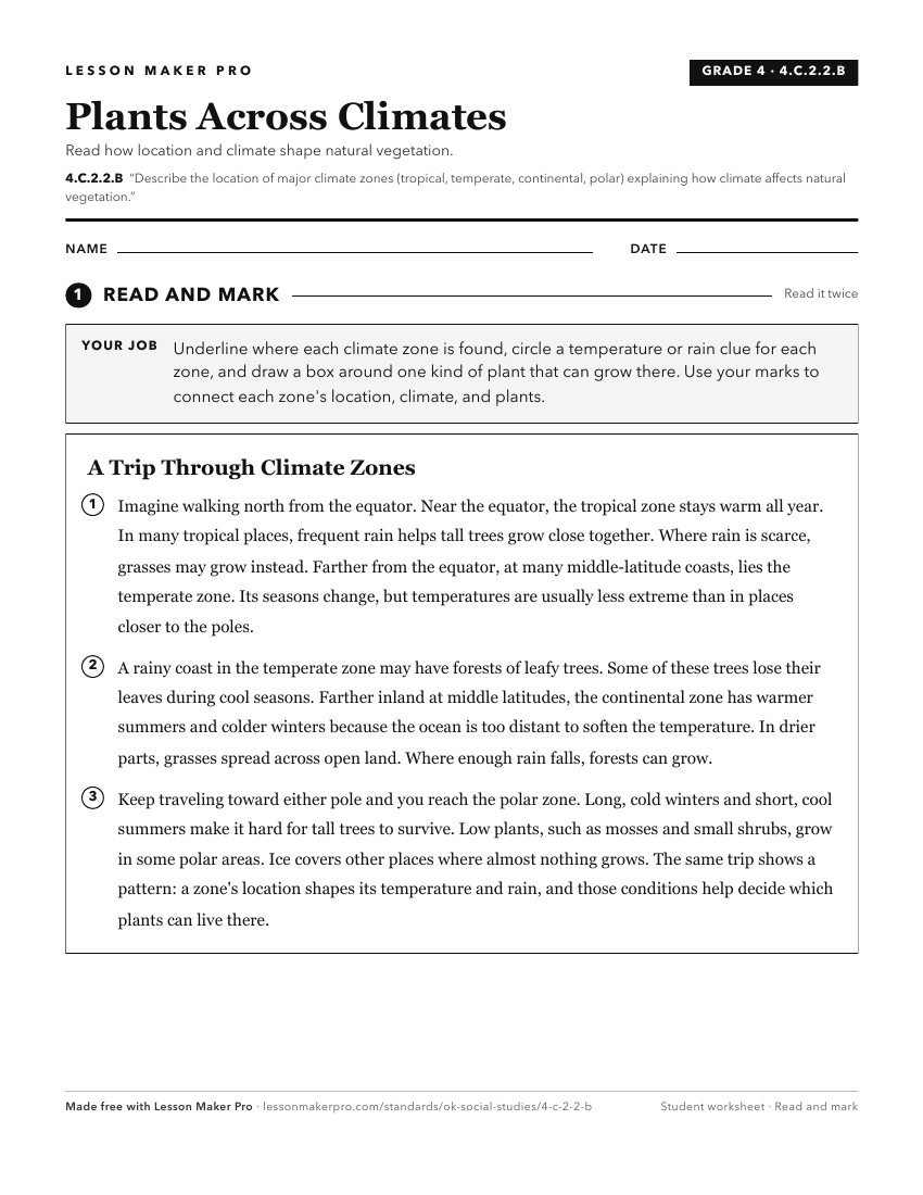
A ready-to-print activity worksheet aligned to 4.C.2.2.B, with an answer key for the teacher on its own page. No account needed.
PDF, US Letter, prints cleanly in black and white.
Download the worksheetKeep exploring
Related Standards
- 7.C.2.1
Identify on a physical map the major landforms and bodies of water of each region and compare climatic conditions, vegetation, and biomes using thematic maps an...
- 2.C.3.7
Examine how weather patterns, seasons, climate, and the physical features of a place can affect where and how people live.
- 6.C.2.2
Use visual information to describe on a physical map the major climate and vegetation zones, drawing conclusions about their impact on human development.
- 3.C.2.2.E
Describe the state’s climate and various natural vegetation zones, explaining how climate can affect natural vegetation and economic activities.
Turn this exact standard into a lesson
Grade, subject, topic, and the complete standard are prefilled. Create one free, no account needed.
Also for this standard:Make a WorksheetMake a QuizMake a Sub Lesson