Oklahoma Social Studies 3.C.2.2.E
The Standard
- 3.C.2
- Examine Oklahoma’s geography and how people of Oklahoma interact with their environment.
- 3.C.2.2
- Examine Oklahoma’s political and physical features using physical and political maps.
Describe the state’s climate and various natural vegetation zones, explaining how climate can affect natural vegetation and economic activities.
Oklahoma Academic Standards for Social Studies (2026) · 3.C.2.2
Teacher's field guide
What This Standard Means
What Students Need to Do
- Students describe Oklahoma’s climate, including wetter conditions in the east and drier conditions in the west. They locate eastern forests and central and western grasslands, then explain how rainfall affects plants and work.
What Mastery Looks Like
- A student can use a rainfall map to explain why forests grow in eastern Oklahoma and shorter grasses grow farther west. They can connect eastern forests to timber work and western grasslands to cattle grazing.
Common Misconceptions
- Students may treat one rainy day as a region’s climate. They may assume all of Oklahoma has the same rainfall or count planted crops as natural vegetation.
How to Assess It
- Give students a blank Oklahoma outline marked east and west. Ask them to label the wetter side, draw likely natural plants on each side, and name one job the plants support.
Lesson moves
Ways to Teach It
Give pairs an Oklahoma rainfall map and forest, tallgrass, and shortgrass picture cards to place across the state.
Ask: Why might a forest grow in eastern Oklahoma while shorter grasses grow in western Oklahoma? Use the rainfall map as evidence.
Play a matching game with cards showing eastern forests, central tallgrass, western shortgrass, rainfall amounts, timber work, and cattle grazing.
Show photos of an eastern Oklahoma timber site and a western cattle ranch, then have students explain each location using a rainfall map.
Free download
Printable 3.C.2.2.E Worksheet
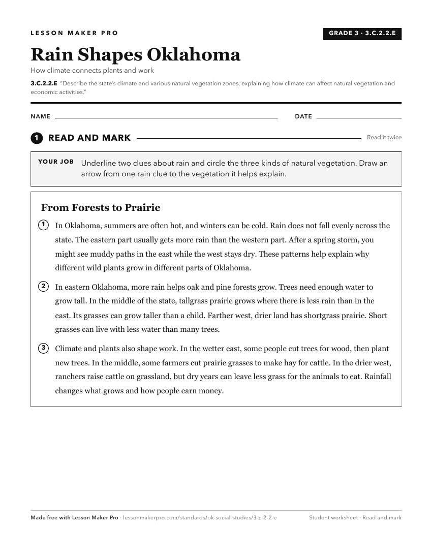
A ready-to-print activity worksheet aligned to 3.C.2.2.E, with an answer key for the teacher on its own page. No account needed.
PDF, US Letter, prints cleanly in black and white.
Download the worksheetKeep exploring
Related Standards
- 4.C.2.2.B
Describe the location of major climate zones (tropical, temperate, continental, polar) explaining how climate affects natural vegetation.
- 6.C.2.2
Use visual information to describe on a physical map the major climate and vegetation zones, drawing conclusions about their impact on human development.
- 4.C.2.2.C
Draw conclusions from geographic data to explain how climate, vegetation, and bodies of water can affect the location and growth of settlements and the developm...
- WG.C.6.5
Explain how changes in the physical environment and political environment influence changes in economic activity within a region.
Turn this exact standard into a lesson
Grade, subject, topic, and the complete standard are prefilled. Create one free, no account needed.
Also for this standard:Make a WorksheetMake a QuizMake a Sub Lesson