Oklahoma Social Studies USG.P.2.3
Standard Cluster
- USG.P.2
- Use interdisciplinary tools to acquire, apply, and evaluate content understanding of the four strands of social studies.
Demonstrate a mastery of geographic concepts and the use of geographic tools to understand the impact of geography on the past and present. Actively engage in asking and answering geographic questions by acquiring, organizing, and analyzing multiple sources of data and information about the world’s past and present. Compare and analyze complex maps and mapping technologies to analyze spatial patterns of human and physical environments, explaining relationships between the environment and events, past and present. Evaluate the extent to which political and economic decisions have had significant impact on human and physical environments of various places and regions.
Oklahoma Academic Standards for Social Studies (2026) · USG.P.2
Cluster contents
Standards in This Cluster
USG.P.2.3 is a cluster heading. These are the individual standards under it.
- USG.P.2.3.A
Actively engage in asking and answering geographic questions by acquiring, organizing, and analyzing multiple sources of data and information about the world’s ...
- USG.P.2.3.B
Compare and analyze complex maps and mapping technologies to analyze spatial patterns of human and physical environments, explaining relationships between the e...
- USG.P.2.3.C
Evaluate the extent to which political and economic decisions have had significant impact on human and physical environments of various places and regions.
Teacher's field guide
What This Cluster Means
What Students Need to Do
- Students compare a 1930s neighborhood map with current tree cover and heat maps of the same city. They check map keys, find patterns, and weigh how much past housing decisions may explain them.
What Mastery Looks Like
- A student can find the same neighborhood on all three maps and use evidence to explain a heat pattern. They can name another possible cause, such as highway pavement, rather than claim one decision explains everything.
Common Misconceptions
- Students may compare colors without checking what each map key means. They may assume that neighborhoods with the same historic rating have the same temperature today, or that a map overlap proves cause.
How to Assess It
- Give students a 1930s neighborhood map, a current tree cover map, and a heat map of one city. Ask: Where do you see a pattern, what past decision might help explain it, and what other evidence would you need?
Lesson moves
Ways to Teach It
Lay tracing paper over a 1930s neighborhood map and today's tree cover map; mark two neighborhoods with different amounts of shade.
Ask students to write four sentences answering: Did past housing decisions help shape today's hottest neighborhoods? Use two maps and name another possible cause.
Play map detective: match three neighborhoods' historic ratings to current tree cover and temperature data, then check for exceptions.
Use a local tree cover map to choose a bus stop that needs shade, then draft a request to city council using map evidence.
Free download
Printable USG.P.2.3 Worksheet
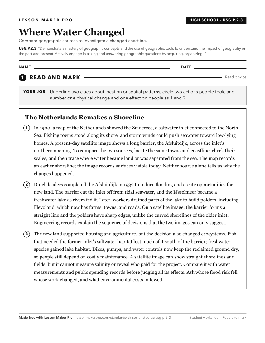
A ready-to-print activity worksheet aligned to USG.P.2.3, with an answer key for the teacher on its own page. No account needed.
PDF, US Letter, prints cleanly in black and white.
Download the worksheetKeep exploring
Related Standards
- 3.P.2.3
Demonstrate a mastery of geographic concepts and the use of geographic tools to understand the impact of geography on the past and present.
- USH.P.2.3
Demonstrate a mastery of geographic concepts and the use of geographic tools to understand the impact of geography on the past and present.
- 2.P.2.3
Demonstrate a mastery of geographic concepts and the use of geographic tools to understand the impact of geography on the past and present.
- 1.P.2.3
Demonstrate a mastery of geographic concepts and the use of geographic tools to understand the impact of geography on the past and present.
Turn this cluster into a lesson
Grade, subject, topic, and the complete cluster are prefilled. Create one free, no account needed.
Also for this cluster:Make a WorksheetMake a QuizMake a Sub Lesson