Oklahoma Social Studies 3.P.2.3
Standard Cluster
- 3.P.2
- Use interdisciplinary tools to acquire, apply, and evaluate content understanding of the four strands of social studies.
Demonstrate a mastery of geographic concepts and the use of geographic tools to understand the impact of geography on the past and present. Ask and answer geographic questions, using geographic information about the student’s community and state. Describe the community and state’s human and physical environment by creating and using maps, graphs, and other geographic models, including aerial photography. Identify and describe how humans modify and adapt to their physical environment, using its natural and human resources.
Oklahoma Academic Standards for Social Studies (2026) · 3.P.2
Cluster contents
Standards in This Cluster
3.P.2.3 is a cluster heading. These are the individual standards under it.
- 3.P.2.3.A
Ask and answer geographic questions, using geographic information about the student’s community and state.
- 3.P.2.3.B
Describe the community and state’s human and physical environment by creating and using maps, graphs, and other geographic models, including aerial photography.
- 3.P.2.3.C
Identify and describe how humans modify and adapt to their physical environment, using its natural and human resources.
Teacher's field guide
What This Cluster Means
What Students Need to Do
- Students ask where and why questions about their community and Oklahoma. They use maps, aerial photos, and graphs to find natural and built features. They compare old and current maps to explain how people have used and changed the land.
What Mastery Looks Like
- A student can mark a river, road, and school on a local map and sort them as natural or built. They can use a map or graph to explain why people settled near a river. They can point to a change between old and current maps.
Common Misconceptions
- Students may call a lake natural even when a dam created it. They may assume a map shows what a place looks like today, or that every part of Oklahoma has the same land and weather.
How to Assess It
- Show students an Oklahoma map with rivers and towns. Ask: "Choose one town near a river. What might people gain from that location, and what problem might they face?"
Lesson moves
Ways to Teach It
Give pairs a printed aerial photo of the school area; have them trace streets, mark trees, and make a map key.
Ask: "Why might a town grow near a river, and what problems could that cause?" Have students use a state map in their answers.
Give teams an Oklahoma map and a rainfall bar graph; have them find the wetter region and circle one river there.
Show a photo of a local storm shelter; ask students how its location and design help people live with Oklahoma storms.
Free download
Printable 3.P.2.3 Worksheet
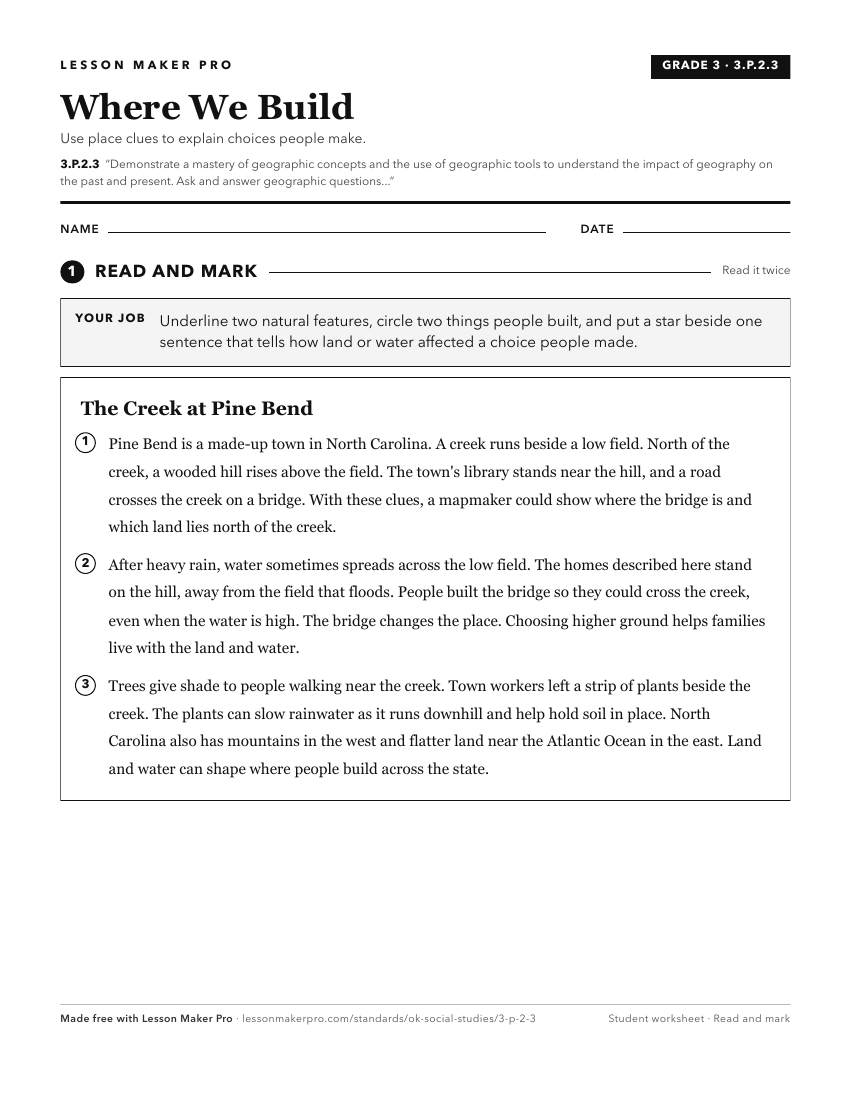
A ready-to-print activity worksheet aligned to 3.P.2.3, with an answer key for the teacher on its own page. No account needed.
PDF, US Letter, prints cleanly in black and white.
Download the worksheetKeep exploring
Related Standards
Turn this cluster into a lesson
Grade, subject, topic, and the complete cluster are prefilled. Create one free, no account needed.
Also for this cluster:Make a WorksheetMake a QuizMake a Sub Lesson