Oklahoma Social Studies WG.C.1.1
The Standard
- WG.C.1
- Use maps and other geographic representations, tools and technologies to acquire, process, and solve problems from a spatial perspective.
Analyze key concepts underlying the geographical perspectives of location, space, place, scale, pattern, regionalization, and globalization.
Oklahoma Academic Standards for Social Studies (2026) · WG.C.1
Teacher's field guide
What This Standard Means
What Students Need to Do
- Students use maps to explain where things are, what makes places distinct, and how places connect across distance. They spot clusters, group places by a shared trait, and compare local and global views.
What Mastery Looks Like
- Given a coffee trade map, a student can locate farms and explain why many appear in tropical areas. They can outline a growing region, describe a route to a local store, and explain how that sale connects to world trade.
Common Misconceptions
- Students may give a country name when asked what makes a place distinct. They may group nearby countries into a region without naming a shared trait. Some confuse the size of a printed map with the scale of the question being studied.
How to Assess It
- Hand out a world map with coffee farms marked in Brazil, Colombia, Ethiopia, and Vietnam, plus a store in Oklahoma. Ask students to outline a growing region, name its shared trait, and explain one trade link to the store.
Lesson moves
Ways to Teach It
On a blank world map, mark four coffee-growing countries, shade the tropical belt, and draw arrows toward Oklahoma.
Ask: Why does a Tulsa coffee shop depend on farms far away? Write three sentences using climate, distance, and trade.
Match cards labeled 'Tulsa address,' 'highland climate,' 'shipping route,' 'local store,' 'farm cluster,' 'coffee belt,' and 'worldwide trade' to geography terms.
Read the origin country on a coffee bag, locate it on a map, and estimate its distance from your town.
Free download
Printable WG.C.1.1 Worksheet
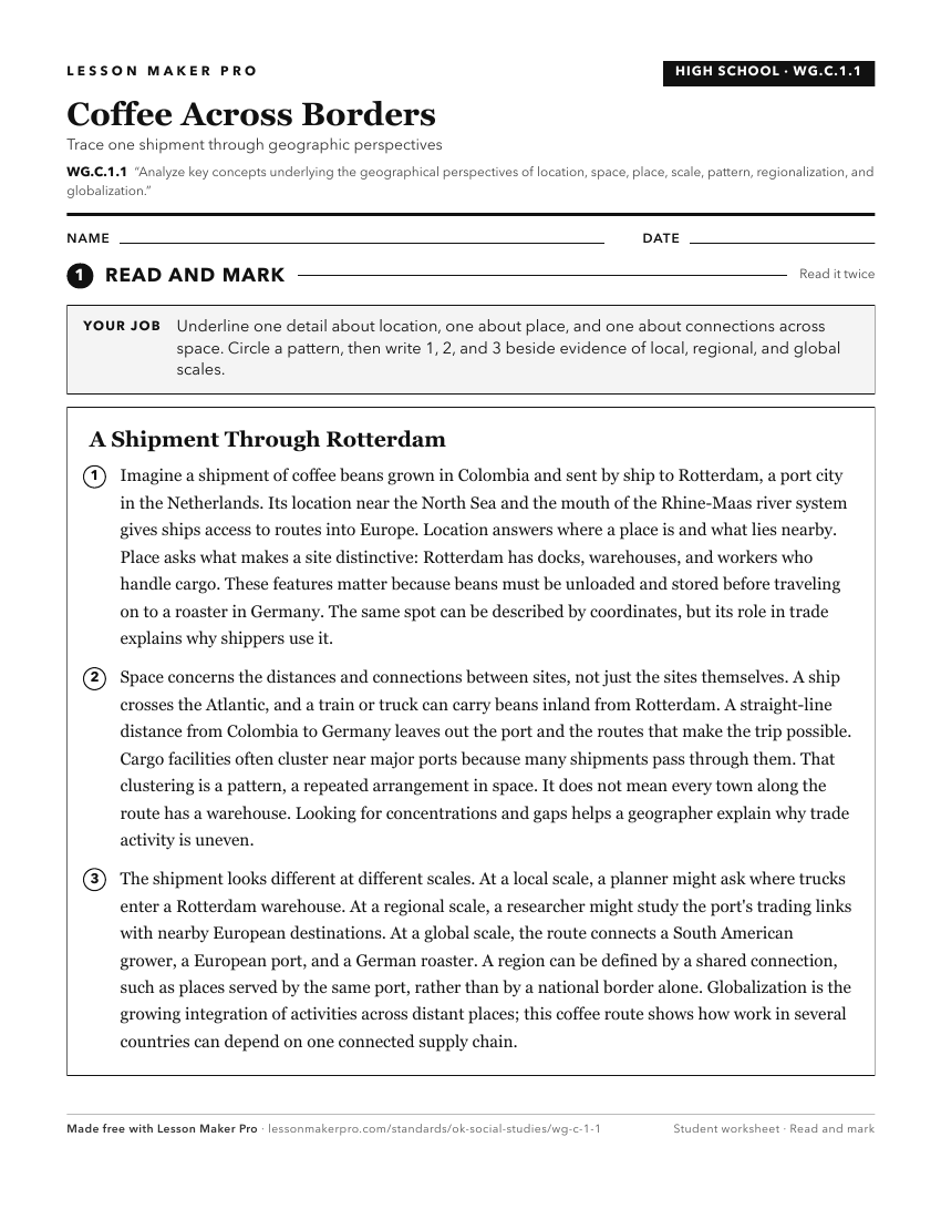
A ready-to-print activity worksheet aligned to WG.C.1.1, with an answer key for the teacher on its own page. No account needed.
PDF, US Letter, prints cleanly in black and white.
Download the worksheetKeep exploring
Related Standards
- 6.C.1
Analyze data from a geographic perspective using the skills and tools of geography.
- WG.C.1.2
Utilize geographic skills to understand and analyze the spatial organization of people, places, and environments on the Earth’s surface.
- WG.C.1.3
Define regions and analyze changing interconnections among places, using historical and contemporary examples.
- 7.C.1
Analyze data from a geographic perspective using the skills and tools of geography.
Turn this exact standard into a lesson
Grade, subject, topic, and the complete standard are prefilled. Create one free, no account needed.
Also for this standard:Make a WorksheetMake a QuizMake a Sub Lesson