Oklahoma Social Studies WG.C.1.3
The Standard
- WG.C.1
- Use maps and other geographic representations, tools and technologies to acquire, process, and solve problems from a spatial perspective.
Define regions and analyze changing interconnections among places, using historical and contemporary examples.
Oklahoma Academic Standards for Social Studies (2026) · WG.C.1
Teacher's field guide
What This Standard Means
What Students Need to Do
- Students draw a region boundary using a clear rule, such as which ports are linked by Indian Ocean trade. They compare older and current maps to explain how connections among places changed.
What Mastery Looks Like
- A student can explain why Mombasa, Kochi, and Malacca belong in the region they drew. They can point to routes on two maps and identify a connection that changed over time.
Common Misconceptions
- Students may think a region must follow country borders. They may also assume that if two ports traded in the past and trade today, their routes and trading partners stayed the same.
How to Assess It
- Give students a 1500s Indian Ocean trade map and a current shipping map. Ask them to draw a region boundary, state their rule, and use both maps to explain one changed connection.
Lesson moves
Ways to Teach It
Give pairs string and two route maps. Have them trace 1500s sailing routes in one color and current shipping routes in another.
Ask students to write: Should Malacca be inside your Indian Ocean region? Defend your answer with evidence from both maps.
Play Then, Now, or Both. Show port pairs on two route maps and award a point when teams cite the matching route.
Compare a vessel route near the Strait of Malacca on a shipping tracker screenshot with a 1500s spice route map.
Free download
Printable WG.C.1.3 Worksheet
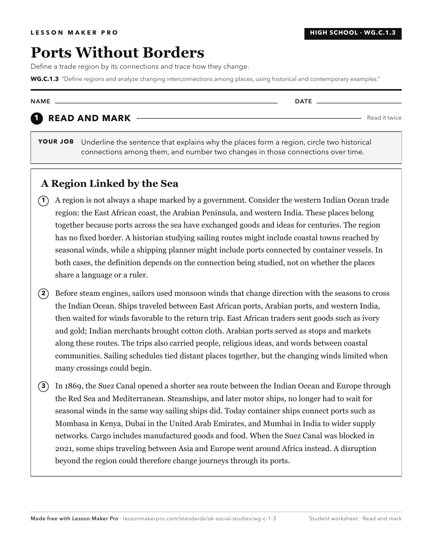
A ready-to-print activity worksheet aligned to WG.C.1.3, with an answer key for the teacher on its own page. No account needed.
PDF, US Letter, prints cleanly in black and white.
Download the worksheetKeep exploring
Related Standards
- MWH.P.2.3.B
Compare and analyze complex maps and mapping technologies to analyze spatial patterns of human and physical environments, explaining relationships between the e...
- WG.P.2.3.B
Compare and analyze complex maps and mapping technologies to analyze spatial patterns of human and physical environments, explaining relationships between the e...
- USH.P.2.3.B
Compare and analyze complex maps and mapping technologies to analyze spatial patterns of human and physical environments, explaining relationships between the e...
- USG.P.2.3.B
Compare and analyze complex maps and mapping technologies to analyze spatial patterns of human and physical environments, explaining relationships between the e...
Turn this exact standard into a lesson
Grade, subject, topic, and the complete standard are prefilled. Create one free, no account needed.
Also for this standard:Make a WorksheetMake a QuizMake a Sub Lesson