Oklahoma Social Studies K.C.3.6
The Standard
- K.C.3
- Identify and examine the basic concepts of physical and human geography.
Explain that the school is part of a larger community within the state of Oklahoma and identify the state of Oklahoma on a map of the United States of America.
Oklahoma Academic Standards for Social Studies (2026) · K.C.3
Teacher's field guide
What This Standard Means
What Students Need to Do
- Children explain that their school is in a local community, which is in Oklahoma. They find Oklahoma on a map of the United States.
What Mastery Looks Like
- A student can say, 'Our school is in our community, and our community is in Oklahoma.' They point to Oklahoma on a U.S. map without help.
Common Misconceptions
- Some children think the school is separate from the community or that Oklahoma is the whole country. Others point to a nearby state instead of Oklahoma.
How to Assess It
- Give each child a labeled U.S. map. Ask them to circle Oklahoma and tell you how their school and community connect to it.
Lesson moves
Ways to Teach It
Have students nest paper circles labeled school, community, Oklahoma, and United States, then place a sticker on Oklahoma on a U.S. map.
Have partners finish the sentence, 'Our school is in our community, and our community is in ____,' while pointing to a map.
Play a map hunt: hand out U.S. maps, ask students to find Oklahoma, then have them mark it with a crayon.
Print the school's address with Oklahoma written out, then have students find the state name and point to it on a U.S. map.
Free download
Printable K.C.3.6 Worksheet
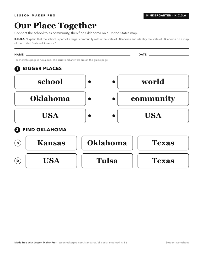
A ready-to-print activity worksheet aligned to K.C.3.6, with an answer key for the teacher on its own page. No account needed.
PDF, US Letter, prints cleanly in black and white.
Download the worksheetKeep exploring
Related Standards
- OKH.C.5.1
Describe the purpose of the Oklahoma Constitution, its key principles, and its relationship to the Constitution of the United States of America.
- 3.C.1.3
Explain how Oklahomans are united through our heritage, state symbols, and special commemorations that reflect common ideals.
- 3.C.2.2.A
Explain the relative location of the student’s school and the state of Oklahoma to surrounding states and major physical regions of the United States of America...
- 3.C.2.2.D
Use both political and physical maps to identify Oklahoma’s major landforms, bodies of water, and major metropolitan centers, recognizing the Native origins of ...
Turn this exact standard into a lesson
Grade, subject, topic, and the complete standard are prefilled. Create one free, no account needed.
Also for this standard:Make a WorksheetMake a QuizMake a Sub Lesson