Oklahoma Social Studies 3.C.2.2.A
The Standard
- 3.C.2
- Examine Oklahoma’s geography and how people of Oklahoma interact with their environment.
- 3.C.2.2
- Examine Oklahoma’s political and physical features using physical and political maps.
Explain the relative location of the student’s school and the state of Oklahoma to surrounding states and major physical regions of the United States of America.
Oklahoma Academic Standards for Social Studies (2026) · 3.C.2.2
Teacher's field guide
What This Standard Means
What Students Need to Do
- Students find their school within Oklahoma and find Oklahoma on a U.S. map. They use compass directions to describe where both are compared with nearby states and major land regions.
What Mastery Looks Like
- A student marks their school on an Oklahoma map and describes its place in the state. They point north to Kansas, south to Texas, and west toward the Rocky Mountains on a U.S. map.
Common Misconceptions
- Students may put Oklahoma north of Kansas or west of New Mexico. They may confuse a state, such as Arkansas, with a land region, such as the Great Plains.
How to Assess It
- Give students an Oklahoma map with the school marked and a U.S. physical map. Ask them to mark Oklahoma, Kansas, Texas, and the Great Plains, then write two location sentences using compass directions.
Lesson moves
Ways to Teach It
Draw arrows from a school sticker on an Oklahoma map toward Kansas, Texas, and Arkansas, then label each arrow with a compass direction.
Ask, 'Which direction are the Rocky Mountains from our school?' Have partners point to a U.S. physical map and explain their answer.
Give pairs cards labeled Kansas, Texas, Arkansas, and New Mexico; call a direction from Oklahoma and have them hold up the matching card.
Trace a route from school to Denver on road and physical maps; name each state crossed and mark where the Rocky Mountains begin.
Free download
Printable 3.C.2.2.A Worksheet
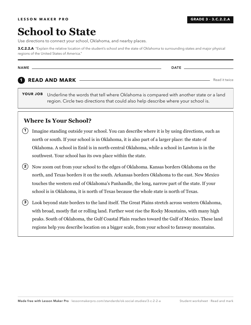
A ready-to-print activity worksheet aligned to 3.C.2.2.A, with an answer key for the teacher on its own page. No account needed.
PDF, US Letter, prints cleanly in black and white.
Download the worksheetKeep exploring
Related Standards
- 3.C.2.2.B
Distinguish between relative location and absolute location (latitude and longitude) to describe the location of Oklahoma’s major natural and human features on ...
- 3.C.2.2
Examine Oklahoma’s political and physical features using physical and political maps.
- 3.C.2.2.D
Use both political and physical maps to identify Oklahoma’s major landforms, bodies of water, and major metropolitan centers, recognizing the Native origins of ...
- K.C.3.6
Explain that the school is part of a larger community within the state of Oklahoma and identify the state of Oklahoma on a map of the United States of America.
Turn this exact standard into a lesson
Grade, subject, topic, and the complete standard are prefilled. Create one free, no account needed.
Also for this standard:Make a WorksheetMake a QuizMake a Sub Lesson