Oklahoma Social Studies K.C.3.3
The Standard
- K.C.3
- Identify and examine the basic concepts of physical and human geography.
Construct basic maps of the classroom, school, and neighborhood.
Oklahoma Academic Standards for Social Studies (2026) · K.C.3
Teacher's field guide
What This Standard Means
What Students Need to Do
- Students draw familiar places as if looking down from above. They put doors, rooms, and nearby landmarks in roughly the right spots, using pictures or labels to show what they mean.
What Mastery Looks Like
- A student places the door, rug, and tables in the right parts of a classroom map. They can point to a route on their map and explain how to follow it.
Common Misconceptions
- Students may draw a building from the front instead of showing where things are. They may put every landmark in a row or draw a route that cannot be followed.
How to Assess It
- Give each child a blank room outline. Ask them to add the door, rug, and one table, then trace a path from the rug to the door.
Lesson moves
Ways to Teach It
Use blocks for classroom tables and paper for the rug, then draw their positions on a sheet marked with the door.
Show a sketch of the office, library, and playground. Ask, 'What would you add so a new student could find the playground?'
Hide a paper star by the classroom sink. Give partners a simple room map and ask them to mark where the star is.
On a printed map of the school block, circle the school and the nearest corner, then draw a path between them.
Free download
Printable K.C.3.3 Worksheet
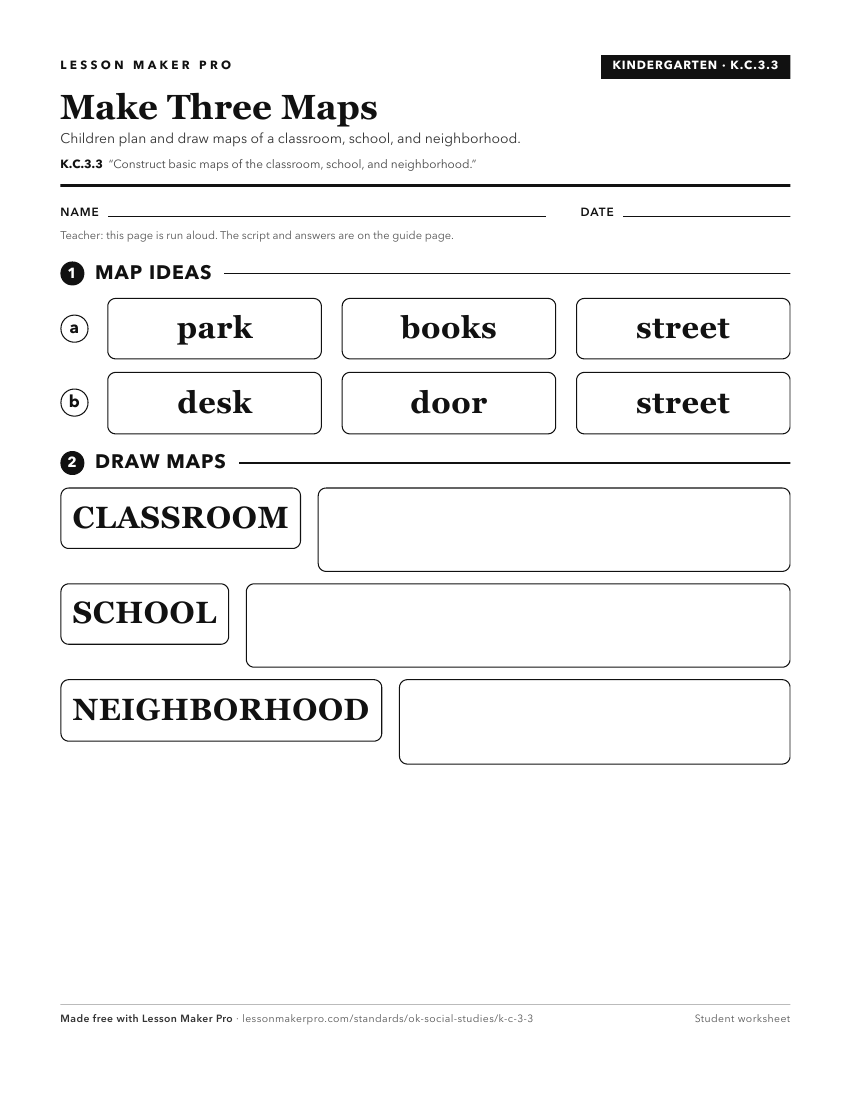
A ready-to-print activity worksheet aligned to K.C.3.3, with an answer key for the teacher on its own page. No account needed.
PDF, US Letter, prints cleanly in black and white.
Download the worksheetKeep exploring
Related Standards
- 1.C.3.3
Construct maps of specific places, such as the community and state, and describe the relative location of physical and human features.
- 1.P.2.3.B
Identify and describe the community’s human and physical environment through the use and creation of simple maps and photographs of the community.
- K.P.2.3.B
Identify and describe the community’s human and physical environment through the use and creation of simple maps and photographs of the community.
- 2.C.3.4
Construct basic physical maps indicating the continents and oceans of the world.
Turn this exact standard into a lesson
Grade, subject, topic, and the complete standard are prefilled. Create one free, no account needed.
Also for this standard:Make a WorksheetMake a QuizMake a Sub Lesson