Oklahoma Social Studies K.C.3.2
The Standard
- K.C.3
- Identify and examine the basic concepts of physical and human geography.
Explain that a map is a drawing of a place as viewed from above.
Oklahoma Academic Standards for Social Studies (2026) · K.C.3
Teacher's field guide
What This Standard Means
What Students Need to Do
- Students recognize that a map shows a place as if they were looking straight down. They draw where things are in a place, rather than what those things look like from the side.
What Mastery Looks Like
- A student draws the classroom from above, with the rug, tables, and door in roughly the right places. They explain that the drawing shows what someone above the room would see.
Common Misconceptions
- Some children draw the room as it looks from the doorway, including table legs and the fronts of shelves. Others think maps only show roads, not places like their classroom.
How to Assess It
- Ask students to draw the classroom from above on an exit slip, adding the door and reading rug. Have them tell you whether their drawing shows a view from the ceiling or the doorway.
Lesson moves
Ways to Teach It
Put a book and two blocks on a table; children look straight down and draw where each object sits.
Show a doorway photo and an overhead drawing of the classroom; ask, “Which shows what we would see from the ceiling?”
Arrange three blocks on a tray; children match the setup to one of three simple drawings made from above.
Show a school map, find the classroom and cafeteria, and trace the hallway route children walk between them.
Free download
Printable K.C.3.2 Worksheet
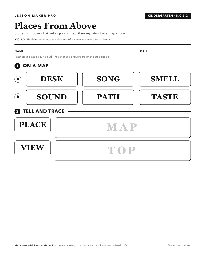
A ready-to-print activity worksheet aligned to K.C.3.2, with an answer key for the teacher on its own page. No account needed.
PDF, US Letter, prints cleanly in black and white.
Download the worksheetKeep exploring
Related Standards
- 2.C.3.1
Construct and use basic physical and political maps, including a legend and compass rose; explain how symbols are used to represent physical features and man-ma...
- 6.C.1.2.A
Apply the concepts of scale, distance, and direction to explain the relative location of physical and human places using maps and globes; explain how various ma...
- 1.C.3.1
Explain that a globe is a model of the Earth and that maps can be used to represent local places or specific regions of the state, nation, or world.
- 2.C.3.5
Describe the location of places on a map and globe, using a basic grid system.
Turn this exact standard into a lesson
Grade, subject, topic, and the complete standard are prefilled. Create one free, no account needed.
Also for this standard:Make a WorksheetMake a QuizMake a Sub Lesson