Texas TEKS 6.3
TEKS Knowledge Statement (Expectation Cluster)
Geography. The student understands the factors that influence the locations and characteristics of locations of various contemporary societies on maps and/or globes. The student is expected to: identify and explain the geographic factors responsible for patterns of population in places and regions; explain ways in which human migration influences the character of places and regions; identify and locate major physical and human geographic features such as landforms, water bodies, and urban centers of various places and regions; and identify the location of major world countries for each of the world regions.
Texas Essential Knowledge and Skills for Social Studies
Cluster contents
Student Expectations in This Statement
6.3 is a TEKS knowledge and skills statement. These are the student expectations under it.
- 6.3.A
identify and explain the geographic factors responsible for patterns of population in places and regions
- 6.3.B
explain ways in which human migration influences the character of places and regions
- 6.3.C
identify and locate major physical and human geographic features such as landforms, water bodies, and urban centers of various places and regions
- 6.3.D
identify the location of major world countries for each of the world regions
Teacher's field guide
What This Cluster Means
What Students Need to Do
- Students locate major countries, landforms, bodies of water, and cities on maps and globes. They use climate, terrain, water access, resources, and migration to explain where people live and how places change.
What Mastery Looks Like
- Given an unfamiliar regional map, a student accurately identifies key countries and physical and human features. The student supports a population pattern or migration claim with two relevant geographic details.
Common Misconceptions
- Students may assume people are spread evenly, or that climate alone determines settlement. They may confuse countries with continents, cities with countries, and migration with daily travel.
How to Assess It
- Give students a regional map and ask, “Where would you expect the largest population center, and why? Name the country, one nearby feature, and one migration effect.”
Lesson moves
Ways to Teach It
Give pairs a blank world map, atlas, and colored stickers to mark five countries, three physical features, and two major cities.
Show river valley and desert population maps, then ask, “What geographic evidence best explains the different settlement patterns?”
Run a map relay where teams place country, landform, water body, and city cards on a large floor map.
Read a short news report about migration to a city, then annotate a map with two changes newcomers may bring.
Free download
Printable 6.3 Worksheet
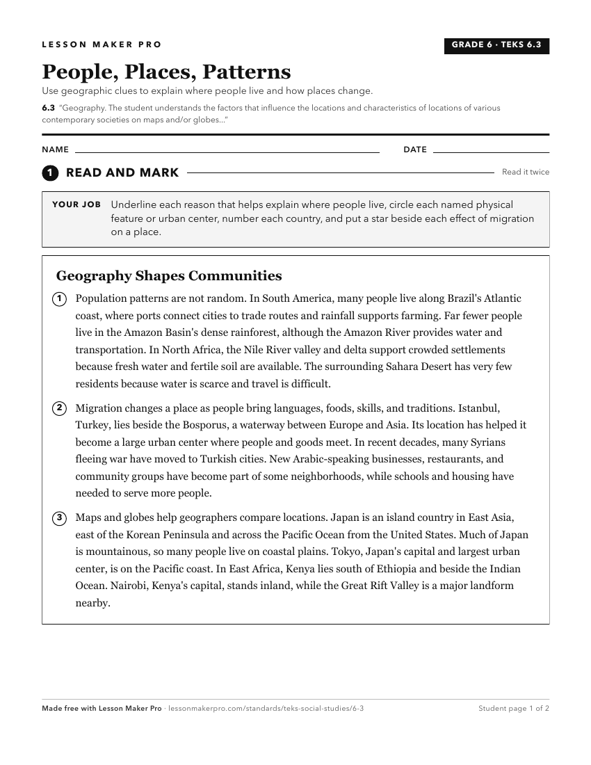
A ready-to-print activity worksheet aligned to 6.3, with an answer key for the teacher on its own page. No account needed.
PDF, US Letter, prints cleanly in black and white.
Download the worksheetKeep exploring
Related Standards
- 3.4
Geography. The student understands the concepts of location, distance, and direction on maps and globes. The student is expected to:
- 6.4
The student understands how geographic factors influence the economic development and political relationships of societies
- K.3
Geography. The student understands the concept of location. The student is expected to:
- 1.4
Geography. The student understands the purpose of geographic tools, including maps and globes. The student is expected to:
Turn this cluster into a lesson
Grade, subject, topic, and the complete cluster are prefilled. Create one free, no account needed.
Also for this cluster:Make a WorksheetMake a QuizMake a Sub Lesson