Texas TEKS 6.3.D
The Standard
- 6.3
- The student understands the factors that influence the locations and characteristics of locations of various contemporary societies on maps and/or globes
identify the location of major world countries for each of the world regions.
Texas Essential Knowledge and Skills for Social Studies
Teacher's field guide
What This Standard Means
What Students Need to Do
- Students locate major countries within Africa, Asia, Europe, Latin America, North America, Southwest Asia, and Oceania. They identify each country on maps without relying only on labels.
What Mastery Looks Like
- Students accurately point to or label major countries on political and blank maps. They use nearby countries, oceans, and physical features to explain locations.
Common Misconceptions
- Students may confuse countries with continents or regions, such as treating Africa as a country. They may also mix up countries with similar names or rely on distorted map size.
How to Assess It
- Give students a blank world map and ask them to label Brazil, China, Egypt, France, India, Mexico, and Australia, then name each country’s region.
Lesson moves
Ways to Teach It
Give pairs country cards and a large blank floor map, then have them place each card in the correct location.
Ask students to write three location clues for one country using its region, nearby countries, oceans, or major physical features.
Play map bingo by calling country names while students cover the matching locations on unlabeled regional maps.
Use a current world news map and have students locate each country mentioned in three recent headlines.
Free download
Printable 6.3.D Worksheet
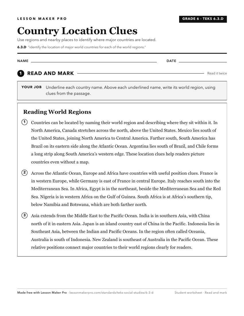
A ready-to-print activity worksheet aligned to 6.3.D, with an answer key for the teacher on its own page. No account needed.
PDF, US Letter, prints cleanly in black and white.
Download the worksheetKeep exploring
Related Standards
- 6.20.B
pose and answer questions about geographic distributions and patterns for various world regions and countries shown on maps, graphs, and charts
- 2.4.A
identify major landforms and bodies of water, including each of the seven continents and each of the oceans, on maps and globes
- 6.3.C
identify and locate major physical and human geographic features such as landforms, water bodies, and urban centers of various places and regions
- 6.20.C
compare various world regions and countries using data from maps, graphs, and charts
Turn this exact standard into a lesson
Grade, subject, topic, and the complete standard are prefilled. Create one free, no account needed.
Also for this standard:Make a WorksheetMake a QuizMake a Sub Lesson