Texas TEKS 2.4.A
The Standard
- 2.4
- Geography. The student understands the location of places in their community, state, country, and the world. The student is expected to:
identify major landforms and bodies of water, including each of the seven continents and each of the oceans, on maps and globes
Texas Essential Knowledge and Skills for Social Studies
Teacher's field guide
What This Standard Means
What Students Need to Do
- Students locate and name the seven continents and five oceans on maps and globes. They also identify common landforms and bodies of water from pictures and map symbols.
What Mastery Looks Like
- Students correctly point to and name continents and oceans, even when maps use different sizes or orientations. They sort features such as mountains, plains, rivers, and lakes into land or water groups.
Common Misconceptions
- Students may confuse a continent with a country or call every body of water an ocean. They often mix up the Arctic and Antarctica or the Atlantic and Pacific Oceans.
How to Assess It
- Give students a blank world map. Ask them to label three named continents, two named oceans, and one landform shown by a symbol.
Lesson moves
Ways to Teach It
Build continents from modeling clay on a blue tray, then place labels for each continent and ocean.
Ask students to write two clues for a continent while classmates use a globe to identify it.
Play continent and ocean bingo using names, map shapes, and location clues.
Use a weather map to locate an ocean, continent, and landform mentioned in the forecast.
Free download
Printable 2.4.A Worksheet
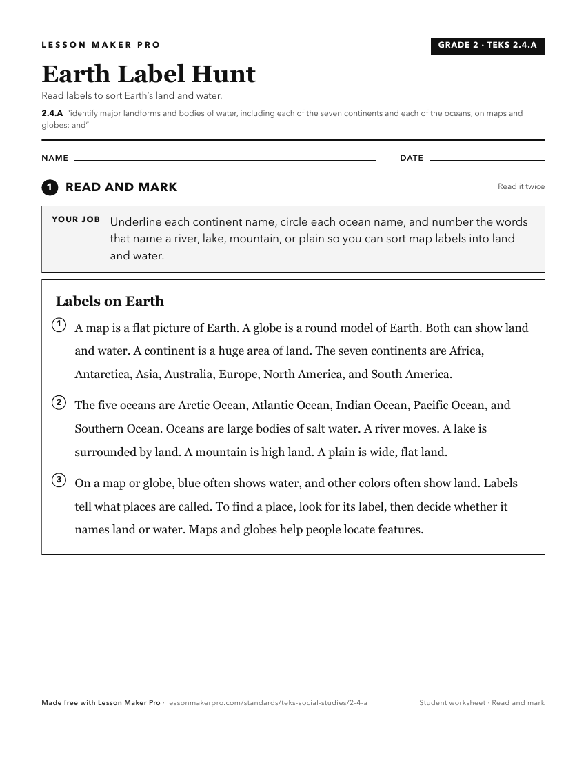
A ready-to-print activity worksheet aligned to 2.4.A, with an answer key for the teacher on its own page. No account needed.
PDF, US Letter, prints cleanly in black and white.
Download the worksheetKeep exploring
Related Standards
- K.4.A
identify the physical characteristics of place such as landforms, bodies of water, Earth's resources, and weather
- 2.3.A
identify and use information on maps and globes using basic map elements such as title, cardinal directions, and legend
- 3.4.C
identify, create, and interpret maps of places that contain map elements, including a title, compass rose, legend, scale, and grid system.
- 6.3.C
identify and locate major physical and human geographic features such as landforms, water bodies, and urban centers of various places and regions
Turn this exact standard into a lesson
Grade, subject, topic, and the complete standard are prefilled. Create one free, no account needed.
Also for this standard:Make a WorksheetMake a QuizMake a Sub Lesson