Texas TEKS 3.4.C
The Standard
- 3.4
- Geography. The student understands the concepts of location, distance, and direction on maps and globes. The student is expected to:
identify, create, and interpret maps of places that contain map elements, including a title, compass rose, legend, scale, and grid system.
Texas Essential Knowledge and Skills for Social Studies
Teacher's field guide
What This Standard Means
What Students Need to Do
- Students use a title, compass rose, legend, scale, and grid to find places, follow directions, explain symbols, and estimate distance. They also draw a clear map that another person can use.
What Mastery Looks Like
- A student can find a location by grid square, tell its direction from another place, and use the legend and scale correctly. Their own map includes every needed feature and uses symbols and distances consistently.
Common Misconceptions
- Students may read grid references in reverse order or think each grid square always equals one mile. They may treat the compass rose as decoration, omit symbols from the legend, or change the scale across a map.
How to Assess It
- Give students a small park map. Ask them to name each map element, locate the landmark in C2, find its direction and distance from the pond, then add a keyed symbol.
Lesson moves
Ways to Teach It
Give pairs graph paper, rulers, and colored pencils to map the classroom, then add a title, compass rose, legend, scale, and grid.
Display two maps of the same park and ask which is easier to use and which map elements make the difference.
Play Map Element Match: students pair element cards with map examples, then follow grid and compass clues to find hidden locations.
Use a local zoo or transit map to plan a route, name grid locations, and estimate distance with the scale.
Free download
Printable 3.4.C Worksheet
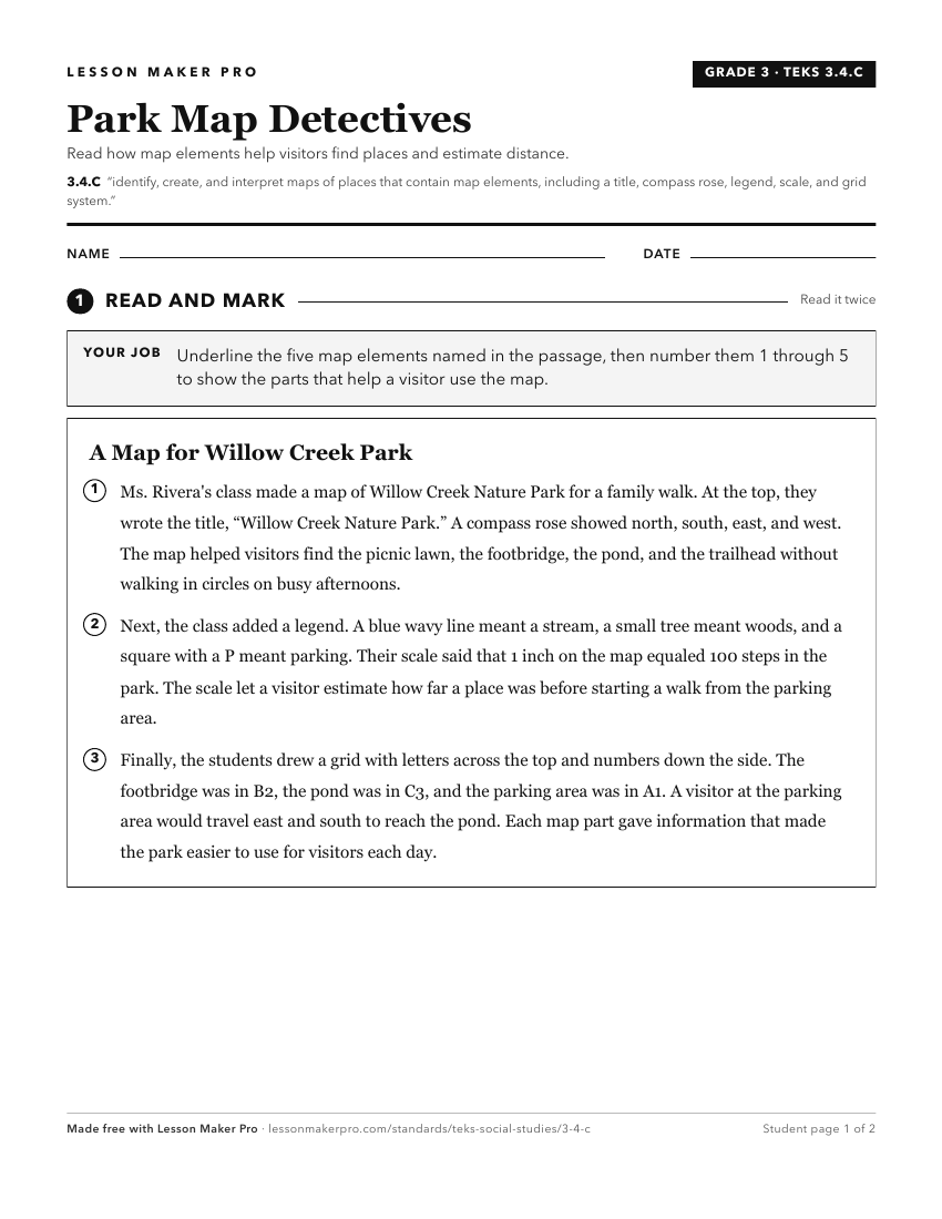
A ready-to-print activity worksheet aligned to 3.4.C, with an answer key for the teacher on its own page. No account needed.
PDF, US Letter, prints cleanly in black and white.
Download the worksheetKeep exploring
Related Standards
- 2.3.A
identify and use information on maps and globes using basic map elements such as title, cardinal directions, and legend
- 4.20.A
apply mapping elements, including grid systems, legends, symbols, scales, and compass roses, to create and interpret maps
- K.3.C
identify and use geographic tools that aid in determining location, including maps and globes.
- 5.24.A
apply mapping elements, including grid systems, legends, symbols, scales, and compass roses, to create and interpret maps
Turn this exact standard into a lesson
Grade, subject, topic, and the complete standard are prefilled. Create one free, no account needed.
Also for this standard:Make a WorksheetMake a QuizMake a Sub Lesson