Texas TEKS K.3.C
The Standard
- K.3
- Geography. The student understands the concept of location. The student is expected to:
identify and use geographic tools that aid in determining location, including maps and globes.
Texas Essential Knowledge and Skills for Social Studies
Teacher's field guide
What This Standard Means
What Students Need to Do
- Students tell the difference between a map and a globe. They use each tool to point out where a place is located.
What Mastery Looks Like
- A student correctly names a map and a globe. The student can follow a simple direction, such as pointing to Texas on a map or Earth on a globe.
Common Misconceptions
- Students may call every geographic picture a map. They may think a globe shows only one country, or confuse a place symbol with the actual place.
How to Assess It
- Show a classroom map and a globe. Ask, “Which tool would you use to find Texas, and can you point to it?”
Lesson moves
Ways to Teach It
Place a toy figure on a floor map, then have students locate the same area on a globe.
Ask students to draw and explain which tool they would use to find where they live.
Play Map or Globe by showing location tasks and having students hold up the matching picture card.
Use a school map to find the classroom, office, cafeteria, and nearest exit.
Free download
Printable K.3.C Worksheet
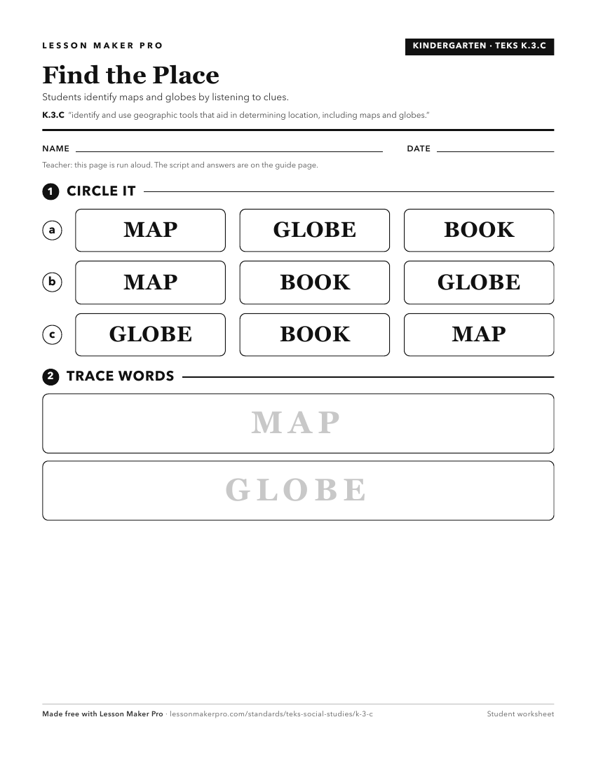
A ready-to-print activity worksheet aligned to K.3.C, with an answer key for the teacher on its own page. No account needed.
PDF, US Letter, prints cleanly in black and white.
Download the worksheetKeep exploring
Related Standards
- 3.4.A
use cardinal and intermediate directions to locate places on maps and globes in relation to the local community
- 2.3.A
identify and use information on maps and globes using basic map elements such as title, cardinal directions, and legend
- 2.3
Geography. The student uses simple geographic tools, including maps and globes. The student is expected to:
- 1.4
Geography. The student understands the purpose of geographic tools, including maps and globes. The student is expected to:
Turn this exact standard into a lesson
Grade, subject, topic, and the complete standard are prefilled. Create one free, no account needed.
Also for this standard:Make a WorksheetMake a QuizMake a Sub Lesson