Texas TEKS 6.20
TEKS Knowledge Statement (Expectation Cluster)
Social studies skills. The student uses geographic tools to collect, analyze, and interpret data. The student is expected to: answer geographic questions, including: Where is it located? Why is it there? What is significant about its location? How is its location related to the location of other people, places, and environments? Using latitude and longitude, where is it located?; pose and answer questions about geographic distributions and patterns for various world regions and countries shown on maps, graphs, and charts; compare various world regions and countries using data from maps, graphs, and charts; and create and interpret regional sketch maps, thematic maps, graphs, and charts depicting aspects such as population, disease, and economic activities of various world regions and countries.
Texas Essential Knowledge and Skills for Social Studies
Cluster contents
Student Expectations in This Statement
6.20 is a TEKS knowledge and skills statement. These are the student expectations under it.
- 6.20.A
answer geographic questions, including: Where is it located? Why is it there? What is significant about its location? How is its location related to the locatio...
- 6.20.B
pose and answer questions about geographic distributions and patterns for various world regions and countries shown on maps, graphs, and charts
- 6.20.C
compare various world regions and countries using data from maps, graphs, and charts
- 6.20.D
create and interpret regional sketch maps, thematic maps, graphs, and charts depicting aspects such as population, disease, and economic activities of various w...
Teacher's field guide
What This Cluster Means
What Students Need to Do
- Students locate places with latitude and longitude and answer questions about why places are located where they are. They identify geographic patterns, compare regions using mapped data, and create maps, graphs, or charts to show those patterns.
What Mastery Looks Like
- Students accurately locate places, read map keys and graph scales, and support conclusions with specific data. They can compare two regions and create a clear thematic or sketch map with labels, symbols, and a legend.
Common Misconceptions
- Students may read longitude before latitude or confuse hemispheres. They may list map details without identifying a pattern or using evidence. They may assume a pattern proves a cause or compare graphs with different scales as if the axes match.
How to Assess It
- Give students a thematic map with coordinates and a small data chart. Ask them to locate one place, describe one pattern, compare two regions, and explain why the pattern matters.
Lesson moves
Ways to Teach It
Give pairs a blank world map, atlases, and colored pencils to plot coordinates and build a population or trade sketch map.
Ask, “Why are major cities clustered near coasts and rivers?” Students write a claim supported by two mapped examples.
Run a coordinate relay where teams locate places, identify hemispheres, and earn a bonus for naming a nearby physical feature.
Use a weather, disease, or shipping map from a news source to explain how location affects local decisions.
Free download
Printable 6.20 Worksheet
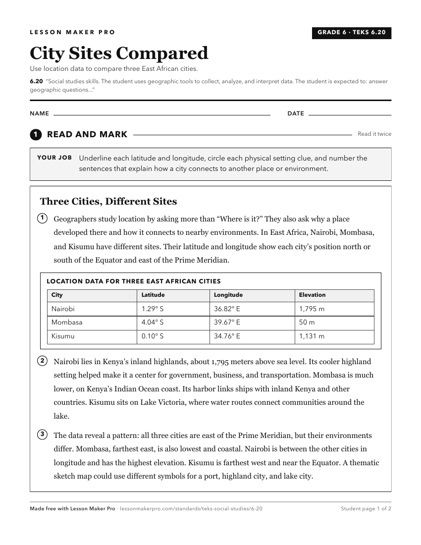
A ready-to-print activity worksheet aligned to 6.20, with an answer key for the teacher on its own page. No account needed.
PDF, US Letter, prints cleanly in black and white.
Download the worksheetKeep exploring
Related Standards
- 4.20
Social studies skills. The student uses geographic tools to collect, analyze, and interpret data. The student is expected to:
- 7.21
Social studies skills. The student uses geographic tools to collect, analyze, and interpret data. The student is expected to:
- 2.3
Geography. The student uses simple geographic tools, including maps and globes. The student is expected to:
- 5.24
Social studies skills. The student uses geographic tools to collect, analyze, and interpret data. The student is expected to:
Turn this cluster into a lesson
Grade, subject, topic, and the complete cluster are prefilled. Create one free, no account needed.
Also for this cluster:Make a WorksheetMake a QuizMake a Sub Lesson