Oklahoma Social Studies 7.C.3
Standard Cluster
Identify the distribution and demographic patterns of human populations of the Eastern Hemisphere. Identify on a political map the major countries and population centers of each region, describing urban, rural, suburban, and metropolitan settlement patterns. Explain the impact of geography on population distribution, density, growth, change, settlement patterns, the availability of resources, and migration. Describe the challenges of urbanization and urban sprawl (e.g., access to public services, affordability of housing, gentrification, pollution, transportation). Examine how nations address population changes through government policies (e.g., education, health care, immigration). Describe the reasons for emigration and immigration. Examine the role of pull factors (e.g., economic opportunity, education, family) and the role of push factors (e.g., political unrest, religious persecution, war, famine, natural disasters) which motivate both emigration and immigration, differentiating between involuntary and voluntary migration. Describe contemporary reasons and examples of migration (e.g., drought in agricultural eastern Africa resulting in urbanization, overpopulation of India’s cities due to employment options in high-tech industries).
Oklahoma Academic Standards for Social Studies (2026)
Cluster contents
Standards in This Cluster
7.C.3 is a cluster heading. These are the individual standards under it.
- 7.C.3.1
Identify on a political map the major countries and population centers of each region, describing urban, rural, suburban, and metropolitan settlement patterns.
- 7.C.3.2
Explain the impact of geography on population distribution, density, growth, change, settlement patterns, the availability of resources, and migration.
- 7.C.3.3
Describe the challenges of urbanization and urban sprawl (e.g., access to public services, affordability of housing, gentrification, pollution, transportation).
- 7.C.3.4
Examine how nations address population changes through government policies (e.g., education, health care, immigration).
- 7.C.3.5
Describe the reasons for emigration and immigration.
- 7.C.3.5.A
Examine the role of pull factors (e.g., economic opportunity, education, family) and the role of push factors (e.g., political unrest, religious persecution, wa...
- 7.C.3.5.B
Describe contemporary reasons and examples of migration (e.g., drought in agricultural eastern Africa resulting in urbanization, overpopulation of India’s citie...
Teacher's field guide
What This Cluster Means
What Students Need to Do
- Students locate major countries and population centers across the Eastern Hemisphere and compare where people live. They explain how land, water, resources, and jobs affect population density, growth, and settlement patterns. They describe why people move, what happens as cities grow, and how government policies can change population patterns.
What Mastery Looks Like
- Students find Cairo, Mumbai, Lagos, Paris, and Sydney on a political map and use a density map to explain where people cluster. They distinguish rural, urban, suburban, and metropolitan areas, as well as push and pull factors and voluntary and involuntary moves. They can explain how sprawl affects commutes and housing, or how an immigration policy could change a city's growth.
Common Misconceptions
- Students may confuse a large population with high population density or assume people live evenly across a country. They may call a move within one country immigration. They may label war as a pull factor or assume every migrant had a choice.
How to Assess It
- Hand out political and population-density maps of India. Ask students to label Mumbai, explain its high density, name one problem its growth could bring, and classify a worker's move there for a job as voluntary or involuntary and push or pull.
Lesson moves
Ways to Teach It
Pairs mark Cairo in Egypt, Mumbai in India, Lagos in Nigeria, Paris in France, and Sydney in Australia, then compare density maps.
Ask: How does a worker moving to Bengaluru for a tech job differ from a family fleeing war?
Give groups map cards showing a farm, downtown, suburb, and city-suburb region; have them sort the cards by settlement type.
Use local rental listings and a bus map to ask how housing costs and transit gaps affect where workers can live.
Free download
Printable 7.C.3 Worksheet
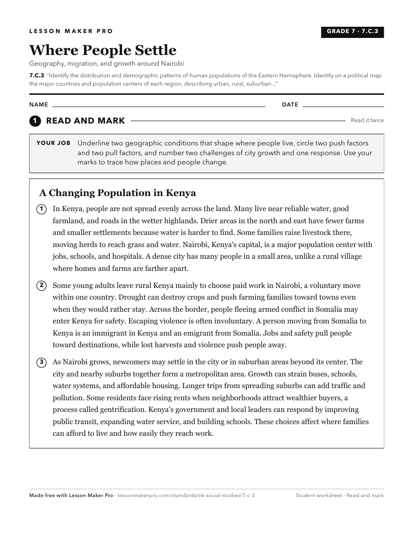
A ready-to-print activity worksheet aligned to 7.C.3, with an answer key for the teacher on its own page. No account needed.
PDF, US Letter, prints cleanly in black and white.
Download the worksheetKeep exploring
Related Standards
- 7.C.8
Analyze the physical and human characteristics of regions which create uniqueness and influence people’s perceptions of the Eastern Hemisphere.
- 7.C.2
Analyze the physical systems of the major regions of the Eastern Hemisphere.
- 6.C.3
Identify the characteristics, distribution, and demographic patterns of human populations and systems of the Western Hemisphere.
- 7.C.5
Evaluate the development and impact of culture on the major regions and peoples of the Eastern Hemisphere.
Turn this cluster into a lesson
Grade, subject, topic, and the complete cluster are prefilled. Create one free, no account needed.
Also for this cluster:Make a WorksheetMake a QuizMake a Sub Lesson