Idaho Social Studies 2.SS.2.1
Standard Cluster
Develop geographic mapping skills using maps and globes by showing that map elements such as key, legend, and scale show how the map represents natural objects or places; applying knowledge of cardinal directions to use a compass rose; locating the countries of North America and the bordering oceans; Identifying and locating the seven continents and the five oceans; identifying major rivers, mountain ranges, lakes, and other physical features; identifying boundary lines to separate states; and locating man-made features.
Idaho Content Standards: K-12 Social Studies
Cluster contents
Standards in This Cluster
2.SS.2.1 is a cluster heading. These are the individual standards under it.
- 2.SS.2.1.a
showing that map elements such as key, legend, and scale show how the map represents natural objects or places
- 2.SS.2.1.b
applying knowledge of cardinal directions to use a compass rose
- 2.SS.2.1.c
locating the countries of North America and the bordering oceans
- 2.SS.2.1.d
Identifying and locating the seven continents and the five oceans
- 2.SS.2.1.e
identifying major rivers, mountain ranges, lakes, and other physical features
- 2.SS.2.1.f
identifying boundary lines to separate states
- 2.SS.2.1.g
locating man-made features.
Teacher's field guide
What This Cluster Means
What Students Need to Do
- Students use a map key, scale, and compass rose to find places and describe distance and direction. They locate countries in North America, the seven continents, and the five oceans. They find rivers, mountains, lakes, roads, and state boundaries on maps.
What Mastery Looks Like
- A student can use a key to tell a river from a road and use the scale to estimate distance. They can point to the continents and oceans on a globe and find countries in North America. They can follow a state boundary and use north, south, east, and west to describe a location.
Common Misconceptions
- Students may mistake state borders for roads or think a map's scale shows how big a river is. They may assume east is always to the right, even when the compass rose is turned.
How to Assess It
- Give students a simple map with a key, scale, compass rose, river, road, and state border. Ask them to circle the natural feature, trace the border, name what lies east of the river, and use the scale to estimate a distance.
Lesson moves
Ways to Teach It
Make a floor map with yarn rivers, tape borders, paper roads, a key, a compass rose, and a scale of one tile per block.
Show a map with a lake, road, and state line; ask, 'Which marks show natural features, and which show human choices?'
Play globe bingo: call out a continent, ocean, or North American country and have students cover its location on labeled map cards.
Use a local park map to plan a walk; mark the trailhead, name a nearby natural feature, and estimate the walk's length.
Free download
Printable 2.SS.2.1 Worksheet
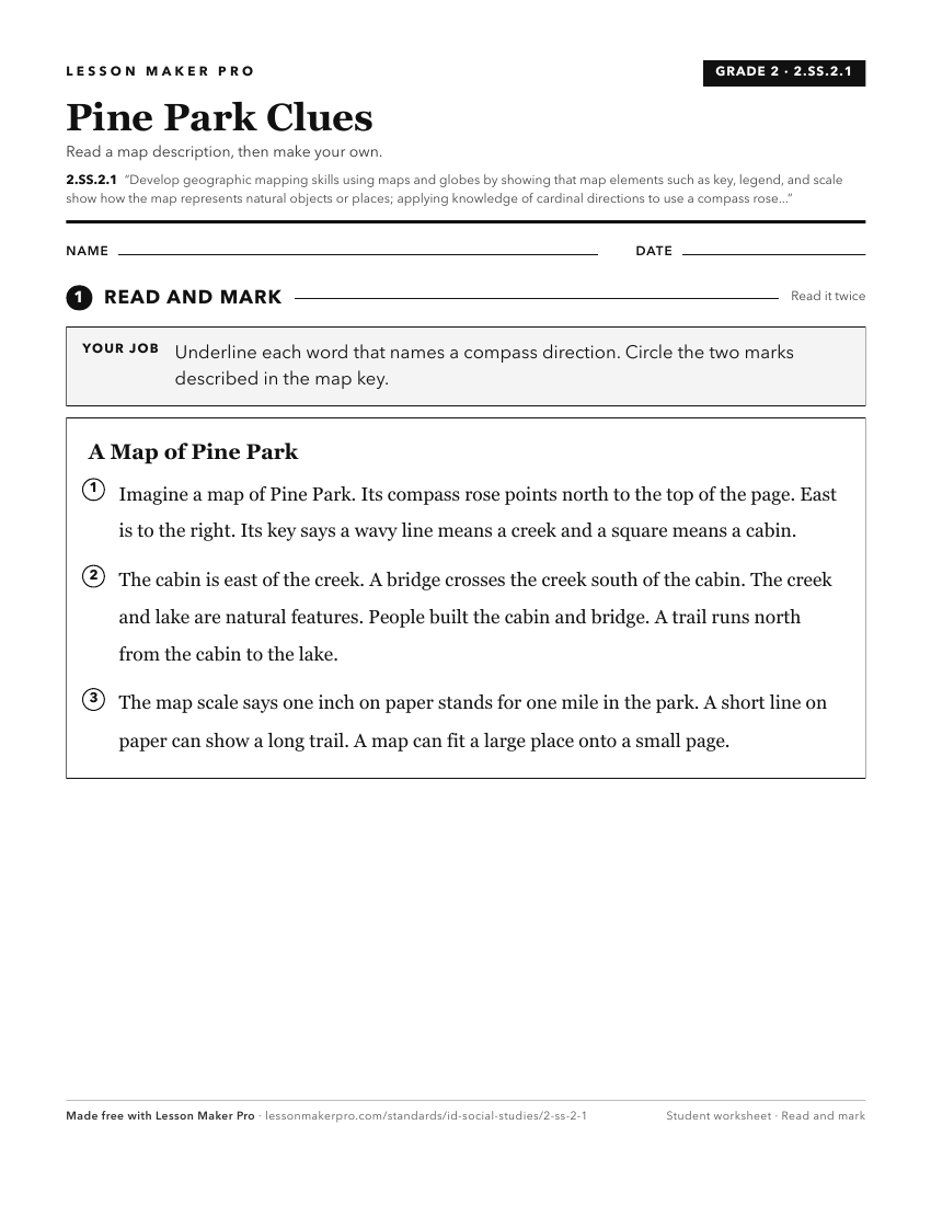
A ready-to-print activity worksheet aligned to 2.SS.2.1, with an answer key for the teacher on its own page. No account needed.
PDF, US Letter, prints cleanly in black and white.
Download the worksheetKeep exploring
Related Standards
- 6-9.WH.2.1
Develop and interpret different kinds of maps, globes, graphs, charts, databases, and models.
- 5.SS.2.1
Develop and use different kinds of maps, globes, graphs, charts, databases, and models to display and obtain information.
- K.SS.2.1
Demonstrate an understanding of maps and globes by:
- 1.SS.2.1
Develop geographic skills by:
Turn this cluster into a lesson
Grade, subject, topic, and the complete cluster are prefilled. Create one free, no account needed.
Also for this cluster:Make a WorksheetMake a QuizMake a Sub Lesson