Idaho Social Studies 6-9.WH.2.1
The Standard
Develop and interpret different kinds of maps, globes, graphs, charts, databases, and models.
Idaho Content Standards: K-12 Social Studies
Teacher's field guide
What This Standard Means
What Students Need to Do
- Students use place data to make maps, graphs, charts, and simple models. They read these tools, along with globes and data tables, to compare places and explain patterns.
What Mastery Looks Like
- A student can choose a useful way to show rainfall data, label it clearly, and explain what it shows. They can use a map to locate places and a chart to compare their rainfall.
Common Misconceptions
- Students may assume a larger area on a map has more people, or that every map shows distances accurately. They may read the tallest bar without checking the scale or units, or treat a model as an exact copy of a place.
How to Assess It
- Give students a blank world map and annual rainfall totals for Cairo (25 mm), London (600 mm), and Mumbai (2,200 mm). Ask them to mark the cities, draw a bar chart, and write what each display helps them see.
Lesson moves
Ways to Teach It
Use a blank world map, colored pencils, and a three-city rainfall table to plot dots by rainfall range; check locations against a globe.
Show a population bar chart and a population density map. Ask, "Which place looks most crowded in each, and why do the answers differ?"
Give pairs a globe, map, rainfall chart, and city data table. Ask, "Which city is wettest?" and race to choose the best source.
Compare a local bus route map with a timetable to plan a trip to the library and estimate travel time.
Free download
Printable 6-9.WH.2.1 Worksheet
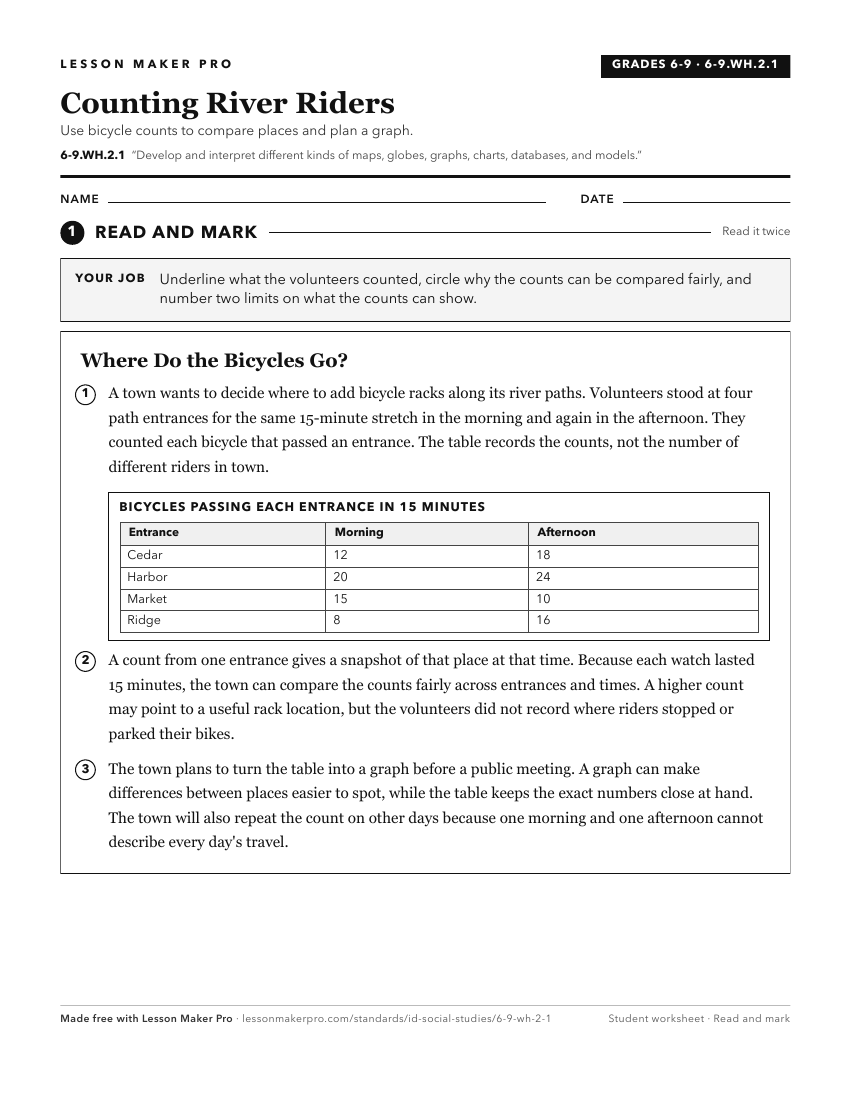
A ready-to-print activity worksheet aligned to 6-9.WH.2.1, with an answer key for the teacher on its own page. No account needed.
PDF, US Letter, prints cleanly in black and white.
Download the worksheetKeep exploring
Related Standards
- 5.SS.2.1
Develop and use different kinds of maps, globes, graphs, charts, databases, and models to display and obtain information.
- K.SS.2.1
Demonstrate an understanding of maps and globes by:
- 2.SS.2.1
Develop geographic mapping skills using maps and globes by
- 5.SS.2.4
Read, analyze, and interpret maps, including the use of latitude and longitude aerial photography, satellite images, and other geospatial products.
Turn this exact standard into a lesson
Grade, subject, topic, and the complete standard are prefilled. Create one free, no account needed.
Also for this standard:Make a WorksheetMake a QuizMake a Sub Lesson