Idaho Social Studies K.SS.2.1
Standard Cluster
Demonstrate an understanding of maps and globes by: identifying the similarities and differences between a map and a globe; identifying basic map symbols; identifying land and bodies of water in the local community; and identifying the geographic location of the United States and Idaho on a map and globe.
Idaho Content Standards: K-12 Social Studies
Cluster contents
Standards in This Cluster
K.SS.2.1 is a cluster heading. These are the individual standards under it.
Teacher's field guide
What This Cluster Means
What Students Need to Do
- Students explain that maps and globes show places, but maps are flat and globes are round. They read simple map symbols, find land and water in their community, and locate the United States and Idaho on a map and globe.
What Mastery Looks Like
- A student can use a symbol key to find a place on a local map and point out land and water. They can find the United States and Idaho on a map and a globe marked with Idaho, then explain how the map and globe are alike and different.
Common Misconceptions
- Some children think a map and globe show different places rather than the same Earth. They may mistake blue water for sky, think a symbol is a real object, or place Idaho outside the United States.
How to Assess It
- Set out a local map with a symbol key, a U.S. map, and a globe marked with Idaho. Ask each child to identify land, water, and one symbol, find the United States and Idaho on the map and globe, and name one similarity and one difference.
Lesson moves
Ways to Teach It
Give pairs a U.S. map and a globe marked with Idaho; have them place stickers on Idaho and the United States on both.
Point to a globe and a wall map; ask, "How are they alike, and what is different about their shapes?"
Give pairs a neighborhood map and picture cards for a school, road, and pond; have them match each card to its map symbol.
Find a real local river or lake on a community map, then have children place a sticker on land beside it.
Free download
Printable K.SS.2.1 Worksheet
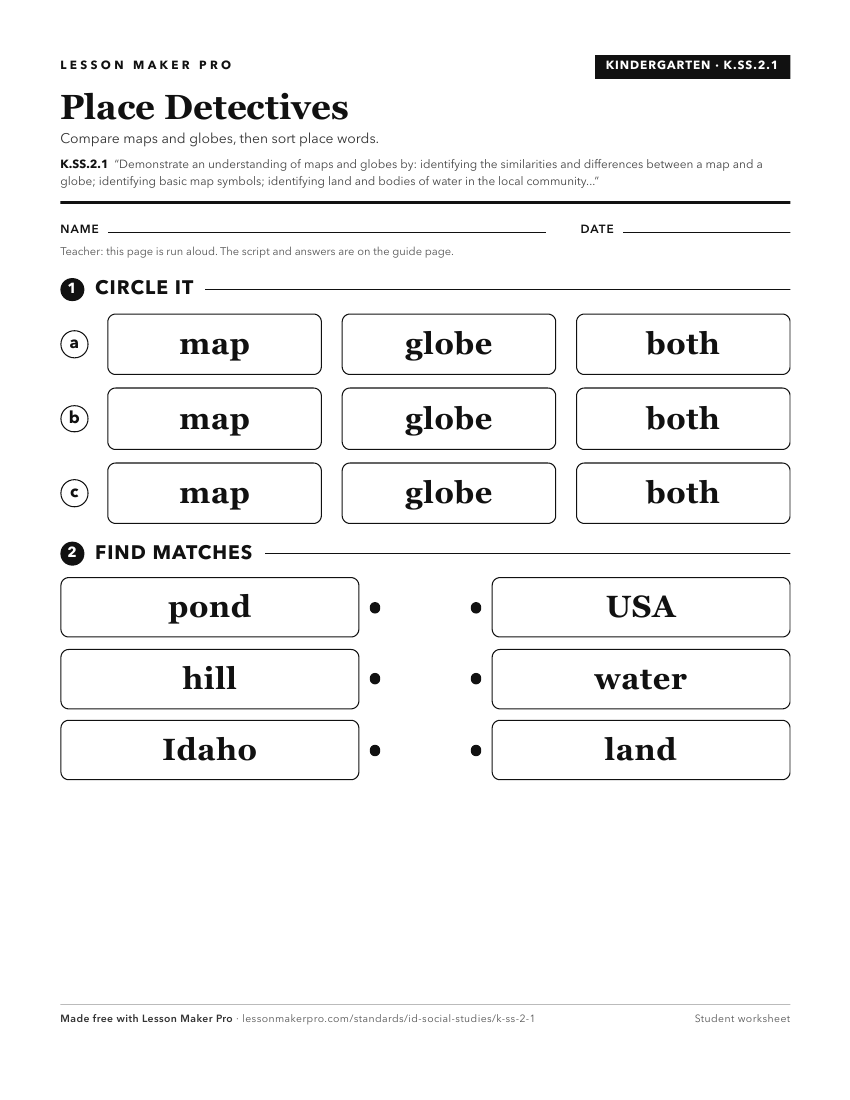
A ready-to-print activity worksheet aligned to K.SS.2.1, with an answer key for the teacher on its own page. No account needed.
PDF, US Letter, prints cleanly in black and white.
Download the worksheetKeep exploring
Related Standards
- 3.SS.2.1
Develop an understanding of map reading by analyzing maps and globes using standard terms, including country, North Pole, Equator, Prime Meridian, hemisphere, r...
- 1.SS.2.1.c
locating Idaho, the United States, continents, and oceans on maps and globes
- 2.SS.2.1
Develop geographic mapping skills using maps and globes by
Turn this cluster into a lesson
Grade, subject, topic, and the complete cluster are prefilled. Create one free, no account needed.
Also for this cluster:Make a WorksheetMake a QuizMake a Sub Lesson